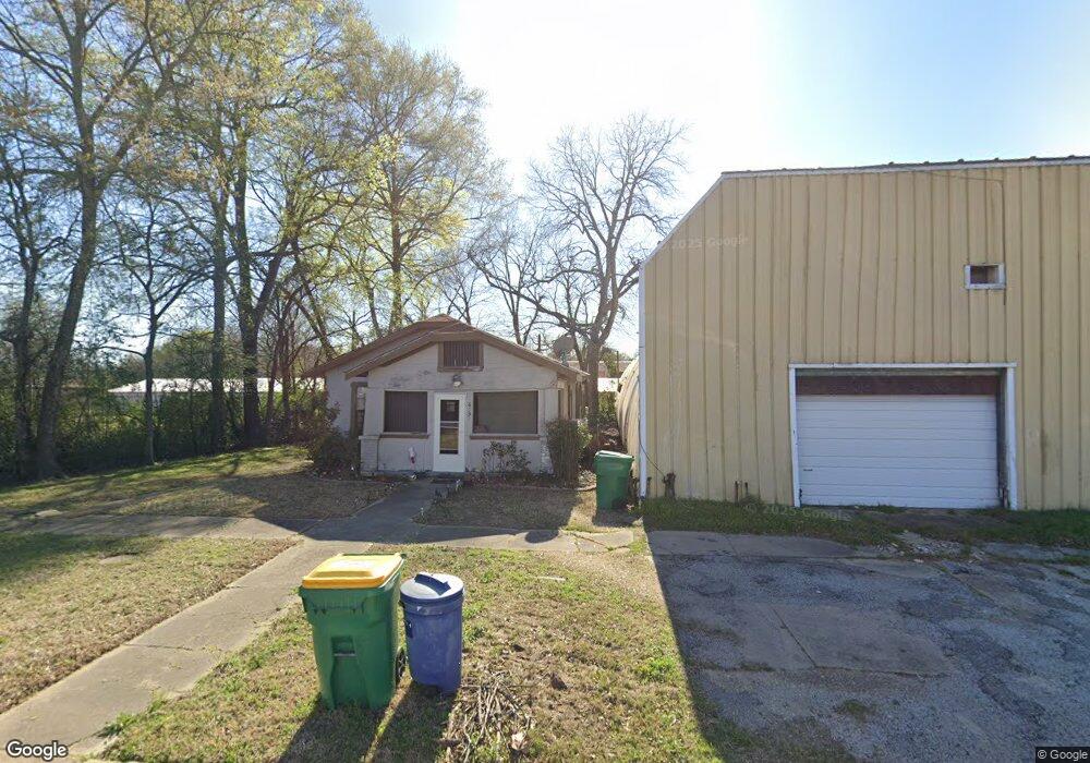
629 Oak St Unit RED Texarkana, TX 75501
Estimated Value: $280,000 - $360,000
Studio
--
Bath
2,268
Sq Ft
$137/Sq Ft
Est. Value
About This Home
This home is located at 629 Oak St Unit RED, Texarkana, TX 75501 and is currently estimated at $309,862, approximately $136 per square foot. 629 Oak St Unit RED is a home located in Bowie County with nearby schools including Liberty-Eylau Early Childhood Center, Liberty-Eylau Primary School, and Liberty-Eylau C.K. Bender Elementary Campus.
Ownership History
Date
Name
Owned For
Owner Type
Purchase Details
Closed on
Jun 7, 2007
Sold by
U S Bank National Assn
Bought by
Martinez Sabino
Current Estimated Value
Home Financials for this Owner
Home Financials are based on the most recent Mortgage that was taken out on this home.
Original Mortgage
$29,000
Interest Rate
6.71%
Mortgage Type
Stand Alone Second
Create a Home Valuation Report for This Property
The Home Valuation Report is an in-depth analysis detailing your home's value as well as a comparison with similar homes in the area
Purchase History
| Date | Buyer | Sale Price | Title Company |
|---|---|---|---|
| Martinez Sabino | -- | Lsi Title Agency Inc |
Source: Public Records
Mortgage History
| Date | Status | Borrower | Loan Amount |
|---|---|---|---|
| Previous Owner | Martinez Sabino | $29,000 |
Source: Public Records
Tax History
| Year | Tax Paid | Tax Assessment Tax Assessment Total Assessment is a certain percentage of the fair market value that is determined by local assessors to be the total taxable value of land and additions on the property. | Land | Improvement |
|---|---|---|---|---|
| 2025 | $4,081 | $310,758 | $40,000 | $270,758 |
| 2024 | $41 | $278,389 | $40,000 | $263,640 |
| 2023 | $3,404 | $231,991 | $33,000 | $198,991 |
| 2022 | $3,563 | $211,198 | $33,000 | $178,198 |
| 2021 | $3,201 | $179,826 | $33,000 | $146,826 |
| 2020 | $3,148 | $173,077 | $33,000 | $140,077 |
| 2019 | $2,982 | $155,239 | $33,000 | $122,239 |
| 2018 | $2,896 | $150,750 | $33,000 | $117,750 |
| 2017 | $2,730 | $148,562 | $33,000 | $115,562 |
| 2016 | $2,661 | $144,840 | $32,500 | $112,340 |
| 2015 | $2,648 | $144,840 | $32,500 | $112,340 |
| 2014 | $2,648 | $140,732 | $32,500 | $108,232 |
Source: Public Records
Map
Nearby Homes
- 3088 Buchanan Loop Rd
- Tbd Fm 558
- 3514 Buchanan Loop Rd
- 2607 Lonnie Ln
- 135 White Oak Place
- 187 Alan St
- 0 Cummings Ln Unit 203179
- TBD Lp Frontage Wallace Pkwy
- 5 S Watlington Dr
- 0 Urban Dr
- 2 S Pineview Dr
- 0 Randall Rd
- 103 Coke Dr
- 3107 Kidd Ln
- 3109 Kidd Ln
- 3111 Kidd Ln
- 3113 Kidd Ln
- 0 Woodberry St
- 2908 Flowers Acres
- 28 Miller County 68
- 3006 Buchanan Loop Rd
- 3002 Buchanan Loop Rd
- 3102 Buchanan Loop Rd
- 3102 Buchanan Loop Rd
- 3015 Buchanan Loop Rd
- 3115 Buchanan Loop Rd
- 5102 Ryan Loop Rd
- 3106 Buchanan Loop Rd
- 2708 Buchanan Loop Rd
- 2706 Buchanan Loop Rd
- 2706 Buchanan Loop Rd
- 3201 Buchanan Loop Rd
- 5107 Ryan Loop Rd
- 5112 Ryan Loop Rd
- 3203 Buchanan Loop Rd
- 5106 Ryan Loop Rd
- 5245 Ryan Loop Rd
- 2705 Buchanan Loop Rd
- 5205 Ryan Loop Rd
- 2703 Buchanan Loop Rd
Your Personal Tour Guide
Ask me questions while you tour the home.