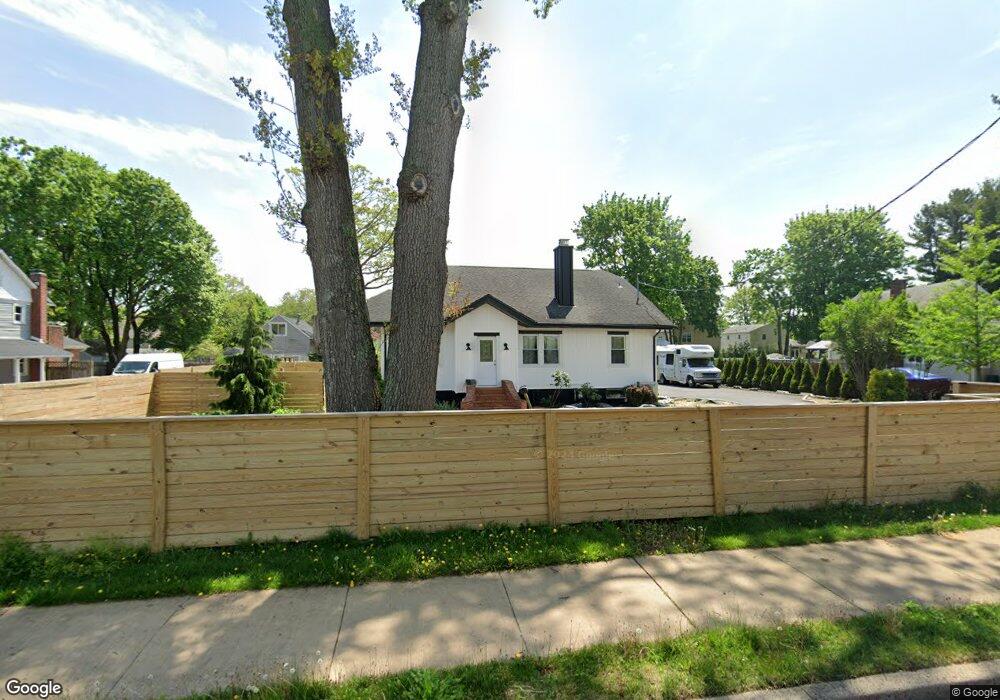
629 Pulaski Rd East Northport, NY 11731
Estimated Value: $651,337 - $726,000
--
Bed
--
Bath
--
Sq Ft
0.46
Acres
About This Home
This home is located at 629 Pulaski Rd, East Northport, NY 11731 and is currently estimated at $689,334. 629 Pulaski Rd is a home located in Suffolk County with nearby schools including Northport Senior High School, The School House, and Trinity Regional School-East Northport Campus.
Ownership History
Date
Name
Owned For
Owner Type
Purchase Details
Closed on
Sep 5, 2019
Sold by
Muller Brad and Muller Catherine P
Bought by
Muller Brad
Current Estimated Value
Purchase Details
Closed on
Jan 27, 2014
Sold by
Muller Brad
Bought by
Muller Brad and Muller Catherine P
Purchase Details
Closed on
Jan 31, 2007
Sold by
Murganstern Dean
Bought by
Muller Brad
Purchase Details
Closed on
Sep 5, 1998
Sold by
Morganstern Dean and Chiatto Robert
Bought by
Morganstern Dean and Chiatto Robert
Purchase Details
Closed on
Sep 5, 1996
Sold by
Zummo Anna
Bought by
Morganstern Dean and Chiatto Robert
Create a Home Valuation Report for This Property
The Home Valuation Report is an in-depth analysis detailing your home's value as well as a comparison with similar homes in the area
Home Values in the Area
Average Home Value in this Area
Purchase History
| Date | Buyer | Sale Price | Title Company |
|---|---|---|---|
| Muller Brad | -- | -- | |
| Muller Brad | -- | -- | |
| Muller Brad | $410,000 | Frank E Clark | |
| Morganstern Dean | -- | Chicago Title Insurance Co | |
| Morganstern Dean | -- | Fidelity National Title Ins |
Source: Public Records
Tax History Compared to Growth
Tax History
| Year | Tax Paid | Tax Assessment Tax Assessment Total Assessment is a certain percentage of the fair market value that is determined by local assessors to be the total taxable value of land and additions on the property. | Land | Improvement |
|---|---|---|---|---|
| 2024 | $8,393 | $2,625 | $300 | $2,325 |
| 2023 | $4,197 | $2,625 | $300 | $2,325 |
| 2022 | $7,887 | $2,625 | $300 | $2,325 |
| 2021 | $7,635 | $2,625 | $300 | $2,325 |
| 2020 | $7,509 | $2,625 | $300 | $2,325 |
| 2019 | $15,017 | $0 | $0 | $0 |
| 2018 | $7,026 | $2,625 | $300 | $2,325 |
| 2017 | $7,026 | $2,625 | $300 | $2,325 |
| 2016 | $6,912 | $2,625 | $300 | $2,325 |
| 2015 | -- | $2,625 | $300 | $2,325 |
| 2014 | -- | $2,625 | $300 | $2,325 |
Source: Public Records
Map
Nearby Homes
- 627 Pulaski Rd
- 627 Pulaski Rd Unit Cott.
- 633 Pulaski Rd
- 625 Pulaski Rd
- 87A Franklin Ave
- 87 Franklin Ave
- 85 Franklin Ave
- 89 Franklin Ave
- 637 Pulaski Rd
- 91 Franklin Ave
- 28 Owen Ct
- 93 Franklin Ave
- 639 Pulaski Rd
- 1 Gary St
- 26 Owen Ct
- 641 Pulaski Rd
- 621 Pulaski Rd
- 95 Franklin Ave
- 2 Gary St
- 620 Pulaski Rd