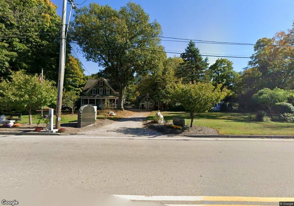
629 South St Wrentham, MA 02093
Estimated Value: $688,638
4
Beds
2
Baths
1,816
Sq Ft
$379/Sq Ft
Est. Value
About This Home
This home is located at 629 South St, Wrentham, MA 02093 and is currently estimated at $688,638, approximately $379 per square foot. 629 South St is a home located in Norfolk County with nearby schools including Delaney Elementary School and Charles E Roderick.
Ownership History
Date
Name
Owned For
Owner Type
Purchase Details
Closed on
Apr 14, 2008
Sold by
Macaione Anthony J and Macaione John A
Bought by
Duffy Todd A
Current Estimated Value
Home Financials for this Owner
Home Financials are based on the most recent Mortgage that was taken out on this home.
Original Mortgage
$288,000
Outstanding Balance
$185,552
Interest Rate
6.3%
Mortgage Type
Commercial
Estimated Equity
$503,086
Create a Home Valuation Report for This Property
The Home Valuation Report is an in-depth analysis detailing your home's value as well as a comparison with similar homes in the area
Home Values in the Area
Average Home Value in this Area
Purchase History
| Date | Buyer | Sale Price | Title Company |
|---|---|---|---|
| Duffy Todd A | $320,000 | -- |
Source: Public Records
Mortgage History
| Date | Status | Borrower | Loan Amount |
|---|---|---|---|
| Open | Duffy Todd A | $288,000 |
Source: Public Records
Tax History Compared to Growth
Tax History
| Year | Tax Paid | Tax Assessment Tax Assessment Total Assessment is a certain percentage of the fair market value that is determined by local assessors to be the total taxable value of land and additions on the property. | Land | Improvement |
|---|---|---|---|---|
| 2025 | -- | $680,400 | $273,300 | $407,100 |
| 2024 | -- | $635,200 | $273,300 | $361,900 |
| 2023 | $0 | $591,700 | $249,300 | $342,400 |
| 2022 | $0 | $528,300 | $242,700 | $285,600 |
| 2021 | $0 | $509,200 | $227,500 | $281,700 |
| 2020 | $6,624 | $453,900 | $176,100 | $277,800 |
| 2019 | $0 | $421,300 | $176,100 | $245,200 |
| 2018 | $0 | $398,600 | $175,900 | $222,700 |
| 2017 | $0 | $387,600 | $172,600 | $215,000 |
| 2016 | -- | $379,800 | $167,500 | $212,300 |
| 2015 | -- | $357,500 | $161,100 | $196,400 |
| 2014 | -- | $295,400 | $155,000 | $140,400 |
Source: Public Records
Map
Nearby Homes
- 791 South St Unit 5
- Lot 1 - Blueberry 2 Car Plan at King Philip Estates
- Lot 8 - Blueberry 2 Car Plan at King Philip Estates
- Lot 5 - Hughes 2 car Plan at King Philip Estates
- Lot 6 - Blueberry 3 Car Plan at King Philip Estates
- Lot 2 - Camden 2 Car Plan at King Philip Estates
- Lot 7 - Cedar Plan at King Philip Estates
- Lot 4 - Hemingway 2 Car Plan at King Philip Estates
- Lot 3 - Blueberry 2 Car Plan at King Philip Estates
- Lot 3 - 14 Earle Stewart Ln
- 11 Earle Stewart Ln
- 131 Creek St Unit 7
- 319 Taunton St
- 1204 South St
- 1222 South St
- 10 Nature View Dr
- 15 Nature View Dr
- 50 Green St
- 440 Chestnut St
- 570 Franklin St