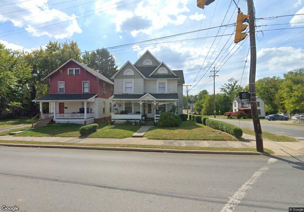
629 Springmill St Mansfield, OH 44903
Estimated Value: $98,000 - $176,000
4
Beds
2
Baths
2,236
Sq Ft
$55/Sq Ft
Est. Value
About This Home
This home is located at 629 Springmill St, Mansfield, OH 44903 and is currently estimated at $122,652, approximately $54 per square foot. 629 Springmill St is a home located in Richland County with nearby schools including Goal Digital Academy, Foundation Academy, and St. Peter's Elementary/Montessori School.
Ownership History
Date
Name
Owned For
Owner Type
Purchase Details
Closed on
Apr 3, 2003
Sold by
Atkeson Michael D and Atkeson Stephanie D
Bought by
Jones Douglas M and Jones Nancy A
Current Estimated Value
Home Financials for this Owner
Home Financials are based on the most recent Mortgage that was taken out on this home.
Original Mortgage
$37,350
Interest Rate
5.94%
Mortgage Type
Purchase Money Mortgage
Purchase Details
Closed on
May 11, 1990
Purchase Details
Closed on
Apr 11, 1990
Create a Home Valuation Report for This Property
The Home Valuation Report is an in-depth analysis detailing your home's value as well as a comparison with similar homes in the area
Home Values in the Area
Average Home Value in this Area
Purchase History
| Date | Buyer | Sale Price | Title Company |
|---|---|---|---|
| Jones Douglas M | $49,800 | Southern Title | |
| -- | $19,000 | -- | |
| -- | $12,000 | -- |
Source: Public Records
Mortgage History
| Date | Status | Borrower | Loan Amount |
|---|---|---|---|
| Closed | Jones Douglas M | $37,350 |
Source: Public Records
Tax History
| Year | Tax Paid | Tax Assessment Tax Assessment Total Assessment is a certain percentage of the fair market value that is determined by local assessors to be the total taxable value of land and additions on the property. | Land | Improvement |
|---|---|---|---|---|
| 2024 | $329 | $6,880 | $1,190 | $5,690 |
| 2023 | $329 | $6,880 | $1,190 | $5,690 |
| 2022 | $303 | $5,310 | $1,090 | $4,220 |
| 2021 | $305 | $5,310 | $1,090 | $4,220 |
| 2020 | $312 | $5,310 | $1,090 | $4,220 |
| 2019 | $346 | $5,310 | $1,090 | $4,220 |
| 2018 | $342 | $5,310 | $1,090 | $4,220 |
| 2017 | $321 | $6,030 | $1,090 | $4,940 |
| 2016 | $263 | $4,080 | $1,720 | $2,360 |
| 2015 | $263 | $4,080 | $1,720 | $2,360 |
| 2014 | $248 | $4,080 | $1,720 | $2,360 |
| 2012 | $100 | $4,290 | $1,810 | $2,480 |
Source: Public Records
Map
Nearby Homes
- 701 Springmill St
- 0 Voegele Ave Unit Lot 6048, 6049, 6
- 480 Mcpherson St
- 362-364 W 6th St
- 368 W 6th St
- 524 Lida St
- 0 Highway 30
- 572 France St
- 212 Penn Ave
- 580 N Mulberry St
- 492 Stark St
- 118 Raymond Ave
- 0 State Route 314 Unit 9069650
- 237 Helen Ave
- 230 Rae Ave
- 688 Mcpherson St
- 169 W 5th St
- 81 Penn Ave
- 739 Armstrong St
- 30 Douglas Ave
- 627 Springmill St
- 369 Tremont St
- 621 Springmill St
- 617 Springmill St
- 641 Springmill St
- 375 Mcpherson St
- 374 Mcpherson St
- 477 Tremont St
- 647 Springmill St
- 615 Springmill St
- 352 Harker St
- 362 Harker St
- 381 Mcpherson St
- 605 Springmill St
- 356 Harker St
- 646 Springmill St
- 378 Mcpherson St
- 385 Mcpherson St
- 649 Springmill St
- 384 Mcpherson St
Your Personal Tour Guide
Ask me questions while you tour the home.