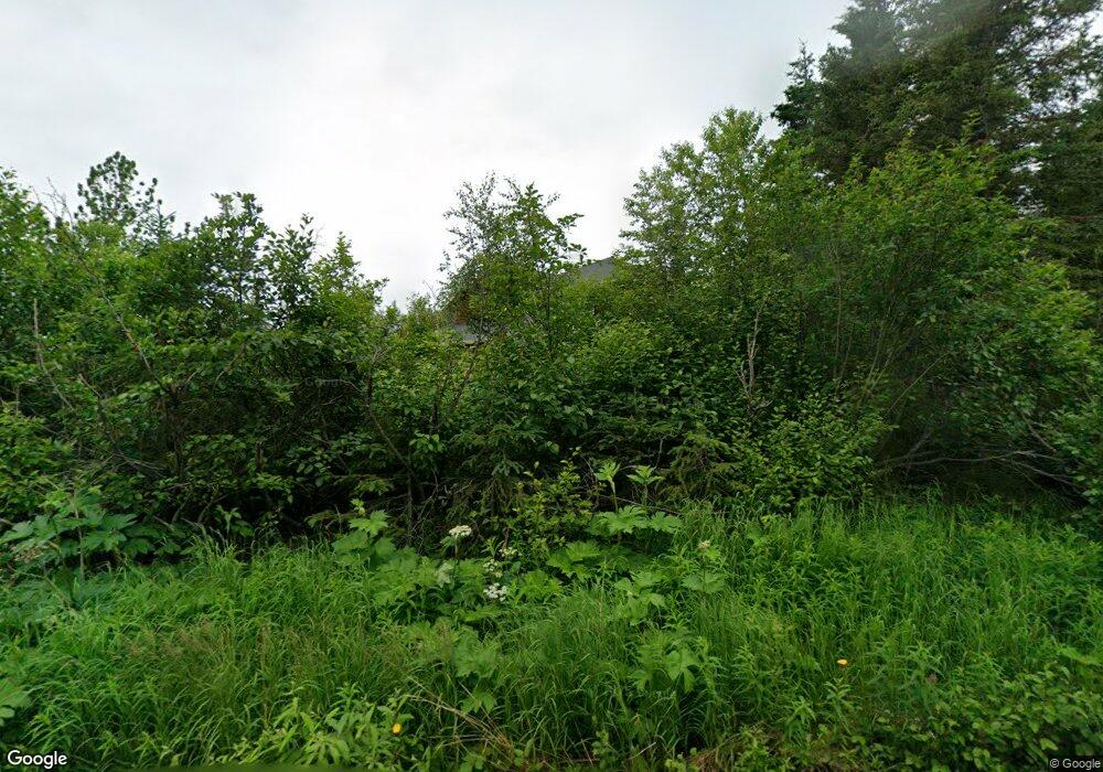
6290 Farpoint Dr Anchorage, AK 99507
Basher NeighborhoodEstimated Value: $596,000 - $918,709
4
Beds
3
Baths
2,679
Sq Ft
$302/Sq Ft
Est. Value
About This Home
This home is located at 6290 Farpoint Dr, Anchorage, AK 99507 and is currently estimated at $808,177, approximately $301 per square foot. 6290 Farpoint Dr is a home located in Anchorage Municipality with nearby schools including Baxter Elementary School, Wendler Middle School, and Bettye Davis East Anchorage High School.
Ownership History
Date
Name
Owned For
Owner Type
Purchase Details
Closed on
Apr 7, 2009
Sold by
Mcghan Ryan M and Mcghan Caroline A
Bought by
Mcghan Ryan M and Mcghan Caroline A
Current Estimated Value
Home Financials for this Owner
Home Financials are based on the most recent Mortgage that was taken out on this home.
Original Mortgage
$440,000
Outstanding Balance
$277,537
Interest Rate
5.06%
Mortgage Type
New Conventional
Estimated Equity
$530,640
Purchase Details
Closed on
Jul 30, 2007
Sold by
Carlson Corrine J and Moody Corrine Jane
Bought by
Mcghan Ryan M and Shay Caroline A
Home Financials for this Owner
Home Financials are based on the most recent Mortgage that was taken out on this home.
Original Mortgage
$536,750
Interest Rate
6.73%
Mortgage Type
Purchase Money Mortgage
Purchase Details
Closed on
Aug 15, 2006
Sold by
Moody Marlyn Duane
Bought by
Moody Corrine Jane
Create a Home Valuation Report for This Property
The Home Valuation Report is an in-depth analysis detailing your home's value as well as a comparison with similar homes in the area
Home Values in the Area
Average Home Value in this Area
Purchase History
| Date | Buyer | Sale Price | Title Company |
|---|---|---|---|
| Mcghan Ryan M | -- | Pnt | |
| Mcghan Ryan M | -- | United Title | |
| Moody Corrine Jane | -- | None Available |
Source: Public Records
Mortgage History
| Date | Status | Borrower | Loan Amount |
|---|---|---|---|
| Open | Mcghan Ryan M | $440,000 | |
| Closed | Mcghan Ryan M | $536,750 |
Source: Public Records
Tax History Compared to Growth
Tax History
| Year | Tax Paid | Tax Assessment Tax Assessment Total Assessment is a certain percentage of the fair market value that is determined by local assessors to be the total taxable value of land and additions on the property. | Land | Improvement |
|---|---|---|---|---|
| 2025 | $9,365 | $843,000 | $205,800 | $637,200 |
| 2024 | $9,365 | $738,700 | $205,800 | $532,900 |
| 2023 | $9,883 | $674,600 | $196,500 | $478,100 |
| 2022 | $9,026 | $656,200 | $196,500 | $459,700 |
| 2021 | $9,659 | $605,200 | $196,500 | $408,700 |
| 2020 | $7,921 | $578,500 | $196,500 | $382,000 |
| 2019 | $7,605 | $580,300 | $196,500 | $383,800 |
| 2018 | $7,351 | $562,600 | $196,500 | $366,100 |
| 2017 | $7,738 | $566,500 | $189,300 | $377,200 |
| 2016 | $6,431 | $596,400 | $174,800 | $421,600 |
| 2015 | $6,431 | $574,200 | $170,800 | $403,400 |
| 2014 | $6,431 | $514,600 | $140,300 | $374,300 |
Source: Public Records
Map
Nearby Homes
- 10607 Aletha's Mountain Way
- L1 Montagne Cir
- 10400 Blackwolf Cir
- 4364 Rendezvous Cir
- 8050 Pioneer Dr Unit 1704
- 8810 Pioneer Dr
- 4407 Irene Dr
- 3500 Skipper St
- 7134 Ambler Ln Unit 26
- 8511 Little Dipper Ave
- 6911 Gemini Dr Unit A-4
- 6712 Lunar Dr Unit K2
- 6758 Lunar Dr Unit B2
- L5 Panorama Dr
- L7 Panorama Dr
- L13 Panorama Dr
- L3 Panorama Dr
- L1 Panorama Dr
- L9 Panorama Dr
- L6 Panorama Dr
- 6230 Farpoint Dr
- 9630 Farpoint Dr
- L1 B4 Farpoint Dr
- L4 B1 Farpoint Dr
- L12 B2 Farpoint Dr
- L1 B1 Farpoint Dr
- L8 B1 Farpoint Dr
- L9 B1 Farpoint Dr
- L14 B1 Farpoint Dr
- L9 B2 Farpoint Dr
- 6076 Farpoint Dr
- L1 Farpoint Dr
- 6220 Farpoint Dr
- 6351 Farpoint Dr
- 6221 Farpoint Dr
- 6257 Farpoint Dr
- 6401 Farpoint Dr
- 6160 Farpoint Dr
- 6132 Farpoint Dr
- 9720 Basher & 9740 & 9760
