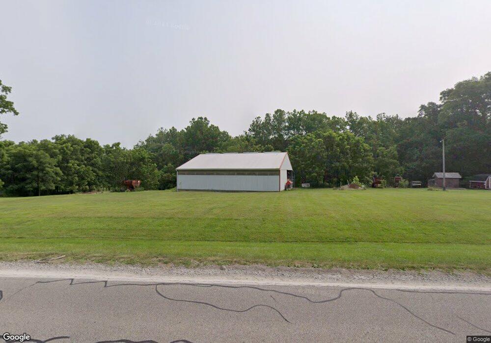
6290 State Route 204 NE Mount Perry, OH 43760
Estimated Value: $292,008 - $1,030,000
2
Beds
1
Bath
1,400
Sq Ft
$365/Sq Ft
Est. Value
About This Home
This home is located at 6290 State Route 204 NE, Mount Perry, OH 43760 and is currently estimated at $510,752, approximately $364 per square foot. 6290 State Route 204 NE is a home located in Perry County with nearby schools including Sheridan High School and Calvary Christian School.
Ownership History
Date
Name
Owned For
Owner Type
Purchase Details
Closed on
Oct 27, 2014
Sold by
Beardmore Andrew B and Walters Melissa
Bought by
Smith John C and Brady Smith J
Current Estimated Value
Purchase Details
Closed on
Sep 26, 2008
Sold by
Young Oscar W and Young Lois L
Bought by
Smith John C
Home Financials for this Owner
Home Financials are based on the most recent Mortgage that was taken out on this home.
Original Mortgage
$300,000
Interest Rate
5.73%
Mortgage Type
Unknown
Create a Home Valuation Report for This Property
The Home Valuation Report is an in-depth analysis detailing your home's value as well as a comparison with similar homes in the area
Home Values in the Area
Average Home Value in this Area
Purchase History
| Date | Buyer | Sale Price | Title Company |
|---|---|---|---|
| Smith John C | $38,000 | None Available | |
| Smith John C | $362,997 | None Available |
Source: Public Records
Mortgage History
| Date | Status | Borrower | Loan Amount |
|---|---|---|---|
| Previous Owner | Smith John C | $300,000 |
Source: Public Records
Tax History Compared to Growth
Tax History
| Year | Tax Paid | Tax Assessment Tax Assessment Total Assessment is a certain percentage of the fair market value that is determined by local assessors to be the total taxable value of land and additions on the property. | Land | Improvement |
|---|---|---|---|---|
| 2024 | $2,730 | $83,540 | $20,090 | $63,450 |
| 2023 | $2,755 | $83,540 | $20,090 | $63,450 |
| 2022 | $2,333 | $59,070 | $10,800 | $48,270 |
| 2021 | $2,000 | $59,070 | $10,800 | $48,270 |
| 2020 | $2,000 | $59,070 | $10,800 | $48,270 |
| 2019 | $2,099 | $61,730 | $16,710 | $45,020 |
| 2018 | $2,140 | $68,500 | $23,480 | $45,020 |
| 2017 | $2,030 | $68,500 | $23,480 | $45,020 |
| 2016 | $2,347 | $68,490 | $22,690 | $45,800 |
| 2015 | $2,344 | $68,490 | $22,690 | $45,800 |
| 2014 | $2,577 | $68,490 | $22,690 | $45,800 |
| 2013 | $1,916 | $66,400 | $20,600 | $45,800 |
| 2012 | -- | $59,040 | $13,240 | $45,800 |
Source: Public Records
Map
Nearby Homes
- 0 Us Highway 22
- 6335 Cimarron Rd
- 9945 Wesley Chapel 47 Rd
- 10294 Township Road 57 NE
- 9758 Wesley Chapel Rd
- 11284 State Route 668 N
- 8045 Old Town Rd
- 10705 Township Road 92
- 0 Us-22
- 2105 Gard Ln
- 7170 Old Town Rd
- 5540 Hoover St
- 2128 County Road 51
- 2967 Opera Rd
- 16711 Bowser Rd
- 12330 Palmer Rd
- 0 Ohio 669
- 7882 State Route 669 NE
- 2151 Stacy Ln
- 3720 Wesley Chapel Rd
- 6395 State Route 204 NE
- 6419 State Route 204 NE
- 6531 Ohio 204
- 5908 State Route 204 NE
- 6553 State Route 204 NE
- 5871 State Route 204 NE
- 6553 NE Strt#204
- 6583 State Route 204 NE
- 6583 State Route 204 NE
- 5791 Ohio 204
- 5791 State Route 204 NE
- 5790 Township Road 95
- 5834 Township Road 95
- 5922 Us Highway 22
- 5922 U S 22 Unit 22
- 5922 State Rt 22
- 10867 Township Road 56 NE
- 5580 Township Road 95
- 5704 Township Road 95
- 5588 Township Road 95