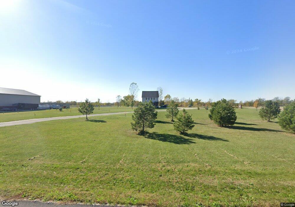
6291 Hasis Rd Celina, OH 45822
Estimated Value: $259,000 - $418,000
3
Beds
2
Baths
1,671
Sq Ft
$203/Sq Ft
Est. Value
About This Home
This home is located at 6291 Hasis Rd, Celina, OH 45822 and is currently estimated at $339,344, approximately $203 per square foot. 6291 Hasis Rd is a home located in Mercer County with nearby schools including Celina Middle School and Celina High School.
Ownership History
Date
Name
Owned For
Owner Type
Purchase Details
Closed on
Jun 12, 2012
Sold by
Walls Rick D and Walls Lynn A
Bought by
Linn Mark J
Current Estimated Value
Home Financials for this Owner
Home Financials are based on the most recent Mortgage that was taken out on this home.
Original Mortgage
$84,000
Outstanding Balance
$9,589
Interest Rate
3.87%
Mortgage Type
Purchase Money Mortgage
Estimated Equity
$329,755
Purchase Details
Closed on
Mar 24, 2006
Sold by
Hinton Jeremy G and Hinton Jessica L
Bought by
Walls Rick D and Walls Lynn A
Home Financials for this Owner
Home Financials are based on the most recent Mortgage that was taken out on this home.
Original Mortgage
$112,800
Interest Rate
6.33%
Mortgage Type
Adjustable Rate Mortgage/ARM
Create a Home Valuation Report for This Property
The Home Valuation Report is an in-depth analysis detailing your home's value as well as a comparison with similar homes in the area
Purchase History
| Date | Buyer | Sale Price | Title Company |
|---|---|---|---|
| Linn Mark J | $222,600 | Attorney | |
| Walls Rick D | $115,000 | None Available |
Source: Public Records
Mortgage History
| Date | Status | Borrower | Loan Amount |
|---|---|---|---|
| Open | Linn Mark J | $84,000 | |
| Previous Owner | Walls Rick D | $112,800 |
Source: Public Records
Tax History
| Year | Tax Paid | Tax Assessment Tax Assessment Total Assessment is a certain percentage of the fair market value that is determined by local assessors to be the total taxable value of land and additions on the property. | Land | Improvement |
|---|---|---|---|---|
| 2025 | $3,433 | $95,380 | $17,430 | $77,950 |
| 2024 | $3,430 | $95,380 | $17,430 | $77,950 |
| 2023 | $3,433 | $95,380 | $17,430 | $77,950 |
| 2022 | $2,902 | $71,370 | $16,240 | $55,130 |
| 2021 | $2,909 | $71,370 | $16,240 | $55,130 |
| 2020 | $2,236 | $65,870 | $16,240 | $49,630 |
| 2019 | $2,003 | $56,920 | $14,740 | $42,180 |
| 2018 | $2,064 | $56,920 | $14,740 | $42,180 |
| 2017 | $2,053 | $59,330 | $14,740 | $44,590 |
| 2016 | $1,939 | $56,180 | $15,050 | $41,130 |
| 2015 | $1,869 | $54,670 | $15,050 | $39,620 |
| 2014 | $1,873 | $54,670 | $15,050 | $39,620 |
| 2013 | $1,875 | $51,590 | $14,210 | $37,380 |
Source: Public Records
Map
Nearby Homes
- 402 S Main St
- 0 Drake St
- 1418 Canterbury Dr
- 1007 Chicory Ct
- 1014 Chicory Ct
- 205 N Main St
- 2100 Golfview Dr
- 1815 Samples Ct
- 1312 Michael Ave
- 2504 Eaglebrooke Pkwy
- 2409 Eaglebrooke Pkwy
- 1201 Lilac Dr
- 1109 Shimp Dr
- 1021 Hemlock St
- 1001 N Sugar St
- 908 N Sugar St
- 308 Dogwood Dr
- 905 N Walnut St
- 906 N Sugar St
- 316 Dogwood Dr
Your Personal Tour Guide
Ask me questions while you tour the home.