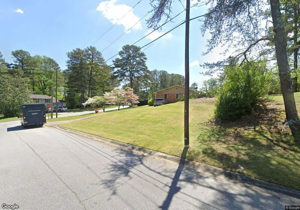
6291 Thornhedge Dr Riverdale, GA 30296
Estimated Value: $184,000 - $248,000
3
Beds
2
Baths
1,161
Sq Ft
$193/Sq Ft
Est. Value
About This Home
This home is located at 6291 Thornhedge Dr, Riverdale, GA 30296 and is currently estimated at $224,408, approximately $193 per square foot. 6291 Thornhedge Dr is a home located in Clayton County with nearby schools including Oliver Elementary School, North Clayton Middle School, and North Clayton High School.
Ownership History
Date
Name
Owned For
Owner Type
Purchase Details
Closed on
Aug 3, 2010
Sold by
Wells Fargo Bk Na
Bought by
Federal Natl Mtg Assn Fnma
Current Estimated Value
Purchase Details
Closed on
Jan 31, 2003
Sold by
Wachovia Bank
Bought by
Scott Sheila
Home Financials for this Owner
Home Financials are based on the most recent Mortgage that was taken out on this home.
Original Mortgage
$98,350
Interest Rate
5.95%
Mortgage Type
New Conventional
Create a Home Valuation Report for This Property
The Home Valuation Report is an in-depth analysis detailing your home's value as well as a comparison with similar homes in the area
Home Values in the Area
Average Home Value in this Area
Purchase History
| Date | Buyer | Sale Price | Title Company |
|---|---|---|---|
| Federal Natl Mtg Assn Fnma | -- | -- | |
| Wells Fargo Bk Na | $92,565 | -- | |
| Scott Sheila | $101,400 | -- |
Source: Public Records
Mortgage History
| Date | Status | Borrower | Loan Amount |
|---|---|---|---|
| Previous Owner | Scott Sheila | $98,350 |
Source: Public Records
Tax History Compared to Growth
Tax History
| Year | Tax Paid | Tax Assessment Tax Assessment Total Assessment is a certain percentage of the fair market value that is determined by local assessors to be the total taxable value of land and additions on the property. | Land | Improvement |
|---|---|---|---|---|
| 2024 | $2,327 | $68,760 | $8,000 | $60,760 |
| 2023 | $2,296 | $63,600 | $8,000 | $55,600 |
| 2022 | $1,713 | $52,760 | $8,000 | $44,760 |
| 2021 | $1,398 | $44,520 | $8,000 | $36,520 |
| 2020 | $1,024 | $34,730 | $8,000 | $26,730 |
| 2019 | $890 | $31,065 | $4,800 | $26,265 |
| 2018 | $711 | $26,649 | $4,800 | $21,849 |
| 2017 | $537 | $22,333 | $4,800 | $17,533 |
| 2016 | $548 | $22,602 | $4,800 | $17,802 |
| 2015 | $872 | $0 | $0 | $0 |
| 2014 | $696 | $16,614 | $4,800 | $11,814 |
Source: Public Records
Map
Nearby Homes
- 6278 Thornhedge Dr
- 1959 Conkle Rd
- 6307 Thornhedge Dr
- 1857 Rockford Ct
- 1991 Flat Shoals Rd
- 2069 Swan Ct
- 6350 Mozart Dr
- 6429 Kings Way
- 6180 Beethoven Cir
- 6432 Polar Fox Ct
- 6255 Mozart Dr
- 1711 Austin Dr
- 2010 Levgard Ln
- 6105 Camden Forrest Ct
- 6213 Bishop Place
- 6220 Polar Fox Ct
- 1651 King Rd
- 6415 Grey Fox Way
- 1966 Tulane Ct
- 1935 Conkle Rd
- 1970 Tulane Ct
- 1947 Conkle Rd Unit 7
- 6292 Thornhedge Dr
- 6277 Thornhedge Dr
- 1959 Conkle Rd Unit 1
- 0 Tulane Ct Unit 7620148
- 0 Tulane Ct
- 6274 Auburn Dr
- 6300 Thornhedge Dr
- 0 Thornhedge Dr Unit 8716327
- 0 Thornhedge Dr Unit 8655670
- 0 Thornhedge Dr Unit 8857647
- 0 Thornhedge Dr Unit 8759975
- 0 Thornhedge Dr Unit 8459450
- 0 Thornhedge Dr Unit 7172121
- 0 Thornhedge Dr Unit 9058134
- 0 Thornhedge Dr Unit 8788740
- 0 Thornhedge Dr Unit 8870006