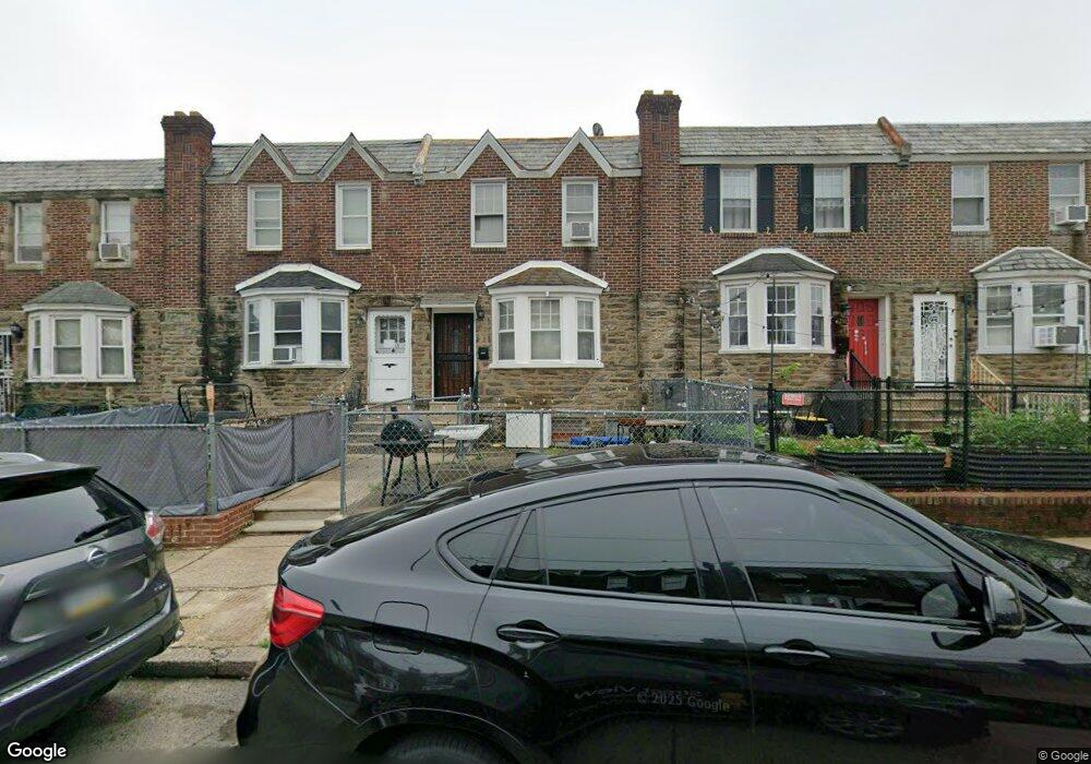
6293 Souder St Philadelphia, PA 19149
Castor Gardens NeighborhoodEstimated Value: $179,000 - $248,000
3
Beds
1
Bath
1,260
Sq Ft
$174/Sq Ft
Est. Value
About This Home
This home is located at 6293 Souder St, Philadelphia, PA 19149 and is currently estimated at $218,985, approximately $173 per square foot. 6293 Souder St is a home located in Philadelphia County with nearby schools including Gilbert Spruance School, Northeast High School, and St Martin Of Tours Catholic School.
Ownership History
Date
Name
Owned For
Owner Type
Purchase Details
Closed on
Jul 6, 2023
Sold by
Thomas Pappachan P and Thomas Annamma
Bought by
Benny Binu
Current Estimated Value
Purchase Details
Closed on
Jun 25, 2001
Sold by
Zeserman Anne
Bought by
Thomas Pappachan P and Pappachan Annamma
Home Financials for this Owner
Home Financials are based on the most recent Mortgage that was taken out on this home.
Original Mortgage
$67,446
Interest Rate
7.14%
Mortgage Type
FHA
Create a Home Valuation Report for This Property
The Home Valuation Report is an in-depth analysis detailing your home's value as well as a comparison with similar homes in the area
Home Values in the Area
Average Home Value in this Area
Purchase History
| Date | Buyer | Sale Price | Title Company |
|---|---|---|---|
| Benny Binu | -- | None Listed On Document | |
| Thomas Pappachan P | $68,000 | -- |
Source: Public Records
Mortgage History
| Date | Status | Borrower | Loan Amount |
|---|---|---|---|
| Previous Owner | Thomas Pappachan P | $67,446 |
Source: Public Records
Tax History Compared to Growth
Tax History
| Year | Tax Paid | Tax Assessment Tax Assessment Total Assessment is a certain percentage of the fair market value that is determined by local assessors to be the total taxable value of land and additions on the property. | Land | Improvement |
|---|---|---|---|---|
| 2025 | $2,387 | $207,600 | $41,520 | $166,080 |
| 2024 | $2,387 | $207,600 | $41,520 | $166,080 |
| 2023 | $2,387 | $170,500 | $34,100 | $136,400 |
| 2022 | $1,757 | $125,500 | $34,100 | $91,400 |
| 2021 | $1,741 | $0 | $0 | $0 |
| 2020 | $1,741 | $0 | $0 | $0 |
| 2019 | $1,671 | $0 | $0 | $0 |
| 2018 | $1,221 | $0 | $0 | $0 |
| 2017 | $1,641 | $0 | $0 | $0 |
| 2016 | $1,221 | $0 | $0 | $0 |
| 2015 | $1,168 | $0 | $0 | $0 |
| 2014 | -- | $117,200 | $20,383 | $96,817 |
| 2012 | -- | $14,112 | $1,633 | $12,479 |
Source: Public Records
Map
Nearby Homes
- 6300 Eastwood St
- 1531 Stevens St
- 1540 Stevens St
- 1551 Lardner St
- 6407 Large St
- 1548 Lardner St
- 1919 Lardner St
- 1917 Devereaux Ave
- 1427 Robbins Ave
- 1468 Stevens St
- 1501 Elbridge St
- 1507 Benner St
- 6239 Castor Ave
- 1500 Hellerman St
- 1535 Hellerman St
- 2001 Mckinley St
- 6448 Akron St
- 6135 Castor Ave
- 6111 Castor Ave
- 6005 Horrocks St
- 6295 Souder St
- 6291 Souder St
- 6297 Souder St
- 6289 Souder St
- 6287 Souder St
- 6299 Souder St
- 6285 Souder St
- 6252 Everett St
- 6254 Everett St
- 6254 Everett Ave Unit 1
- 6254 Everett St Unit B
- 6254 Everett St Unit A
- 6254 Everett St Unit 1
- 6250 Everett St
- 6248 Everett St
- 6283 Souder St
- 6246 Everett St
- 6244 Everett St
- 6281 Souder St
- 6242 Everett St