6294 Highway 82a Tahlequah, OK 74464
Estimated Value: $372,000 - $573,699
3
Beds
2
Baths
2,352
Sq Ft
$195/Sq Ft
Est. Value
About This Home
This home is located at 6294 Highway 82a, Tahlequah, OK 74464 and is currently estimated at $458,566, approximately $194 per square foot. 6294 Highway 82a is a home located in Cherokee County with nearby schools including Lowrey School.
Ownership History
Date
Name
Owned For
Owner Type
Purchase Details
Closed on
Sep 30, 2025
Sold by
Bell James Wayne
Bought by
Williams Erin and Williams Trace
Current Estimated Value
Purchase Details
Closed on
Jul 29, 2009
Sold by
Bell Mary Ann
Bought by
Bell James Wayne
Purchase Details
Closed on
Jan 11, 2006
Sold by
Bell Jimmy M and Bell Alpha L
Bought by
Bell James Wayne and Bell Mary Ann
Home Financials for this Owner
Home Financials are based on the most recent Mortgage that was taken out on this home.
Original Mortgage
$135,000
Interest Rate
6.2%
Mortgage Type
Unknown
Purchase Details
Closed on
Jan 18, 2002
Sold by
Jimmy & Alpha Bell
Bought by
James and Mary Bell
Create a Home Valuation Report for This Property
The Home Valuation Report is an in-depth analysis detailing your home's value as well as a comparison with similar homes in the area
Home Values in the Area
Average Home Value in this Area
Purchase History
| Date | Buyer | Sale Price | Title Company |
|---|---|---|---|
| Williams Erin | -- | None Listed On Document | |
| Bell James Wayne | -- | None Available | |
| Bell James Wayne | $135,000 | Cherokee Capitol Closing Ser | |
| James | -- | -- |
Source: Public Records
Mortgage History
| Date | Status | Borrower | Loan Amount |
|---|---|---|---|
| Previous Owner | Bell James Wayne | $135,000 |
Source: Public Records
Tax History Compared to Growth
Tax History
| Year | Tax Paid | Tax Assessment Tax Assessment Total Assessment is a certain percentage of the fair market value that is determined by local assessors to be the total taxable value of land and additions on the property. | Land | Improvement |
|---|---|---|---|---|
| 2025 | $948 | $12,468 | $2,406 | $10,062 |
| 2024 | $935 | $12,104 | $2,406 | $9,698 |
| 2023 | $935 | $11,752 | $2,406 | $9,346 |
| 2022 | $895 | $11,410 | $2,791 | $8,619 |
| 2021 | $891 | $11,410 | $2,791 | $8,619 |
| 2020 | $816 | $11,410 | $2,791 | $8,619 |
| 2019 | $910 | $11,410 | $2,791 | $8,619 |
| 2018 | $925 | $11,547 | $2,791 | $8,756 |
| 2017 | $757 | $9,348 | $2,791 | $6,557 |
| 2016 | $795 | $9,780 | $2,571 | $7,209 |
| 2015 | $664 | $9,558 | $2,791 | $6,767 |
| 2014 | $680 | $9,780 | $2,791 | $6,989 |
Source: Public Records
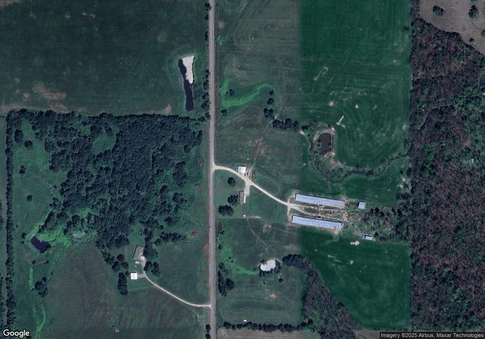
Map
Nearby Homes
- 7002 N 559 Rd
- 00000 E 660 Rd
- 8119 N 544 Rd
- 4422 Highway 82a
- 9133 Oklahoma 10
- 8195 Hwy 82 A
- 0 N 510 Rd Unit 2543283
- 0 N 510 Rd Unit 2543284
- 0 N 510 Rd Unit 2543190
- 0 N 510 Rd Unit 2547590
- 0 N 510 Rd Unit 2543294
- 0 N 510 Rd Unit 2543293
- 0 N 510 Rd Unit 2546232
- 0 N 510 Rd Unit 2543297
- Hwy 82a Lot Unit WP001
- 0000 S Hwy 82 A
- 4395 N Oaks Rd
- 16246 E 647 Rd
- Tbd
- TBD E 0635 Rd
- 6381 Highway 82a
- 6723 Highway 82a
- 5820 Highway 82a
- 6603 N 559 Rd
- 5710 Highway 82a
- 0 Highway 82a Hwy Unit 1420419
- 0 Highway 82a Hwy Unit 300830
- 0 Highway 82a Hwy Unit 402065
- 0 Highway 82a Hwy Unit 402526
- 0 Highway 82a Hwy Unit 216312
- 0 Highway 82a Hwy Unit 1003744
- 0 Highway 82a Hwy Unit 1121084
- 0 Highway 82a Hwy Unit 420039
- 0 Highway 82a Hwy Unit 712060
- 0 Highway 82a Hwy Unit 712532
- 0 Highway 82a Hwy Unit 813555
- 0 Highway 82a Hwy Unit 631047
- 0 Highway 82a Hwy Unit 631798
- 0 Highway 82a Hwy Unit 713915
- 0 Highway 82a Hwy Unit 529832