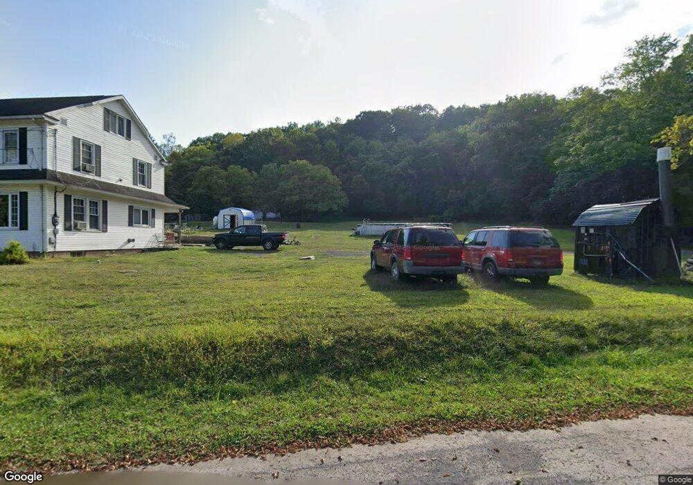
6296 State Route 61 Shamokin, PA 17872
Estimated Value: $168,000 - $226,000
--
Bed
--
Bath
--
Sq Ft
1.1
Acres
About This Home
This home is located at 6296 State Route 61, Shamokin, PA 17872 and is currently estimated at $197,187. 6296 State Route 61 is a home with nearby schools including Shamokin Area Elementary School, Shamokin Area Middle School, and Shamokin Area High School.
Ownership History
Date
Name
Owned For
Owner Type
Purchase Details
Closed on
Sep 1, 2019
Sold by
Spangenberg Robert and Spangenberg Jean
Bought by
Heim Susan E
Current Estimated Value
Home Financials for this Owner
Home Financials are based on the most recent Mortgage that was taken out on this home.
Original Mortgage
$132,554
Outstanding Balance
$116,155
Interest Rate
3.62%
Mortgage Type
FHA
Estimated Equity
$81,032
Create a Home Valuation Report for This Property
The Home Valuation Report is an in-depth analysis detailing your home's value as well as a comparison with similar homes in the area
Home Values in the Area
Average Home Value in this Area
Purchase History
| Date | Buyer | Sale Price | Title Company |
|---|---|---|---|
| Heim Susan E | $135,000 | Hometown Abstract & Re Svcs |
Source: Public Records
Mortgage History
| Date | Status | Borrower | Loan Amount |
|---|---|---|---|
| Open | Heim Susan E | $132,554 |
Source: Public Records
Tax History Compared to Growth
Tax History
| Year | Tax Paid | Tax Assessment Tax Assessment Total Assessment is a certain percentage of the fair market value that is determined by local assessors to be the total taxable value of land and additions on the property. | Land | Improvement |
|---|---|---|---|---|
| 2025 | $927 | $11,450 | $3,270 | $8,180 |
| 2024 | $834 | $11,450 | $3,270 | $8,180 |
| 2023 | $834 | $11,450 | $3,270 | $8,180 |
| 2022 | $813 | $11,450 | $3,270 | $8,180 |
| 2021 | $795 | $11,450 | $3,270 | $8,180 |
| 2020 | $780 | $11,450 | $3,270 | $8,180 |
| 2019 | $759 | $11,450 | $3,270 | $8,180 |
| 2018 | $746 | $11,450 | $3,270 | $8,180 |
| 2017 | $695 | $11,450 | $3,270 | $8,180 |
| 2016 | -- | $11,450 | $3,270 | $8,180 |
| 2015 | -- | $11,450 | $3,270 | $8,180 |
| 2014 | -- | $11,450 | $3,270 | $8,180 |
Source: Public Records
Map
Nearby Homes
- 3101 Irish Valley Rd
- 459 Overlook Blvd
- 0 Mountain Rd
- 107 17th St
- 633 Center St
- 515 Center St
- 108 Center St
- LOT 13 Oak Grove Rd
- 1728 W Walnut St
- 1635 W Walnut St
- 2223 Park Rd
- 0 Park Rd
- 1405 W Walnut St
- 1605 W Lynn St
- 1539 W Lynn St
- 435 Hollow Rd
- 1324 W Walnut St
- 1219 W Walnut St
- 1501 W Wood St
- 1104 W Walnut St
- 195 Sweet Corn Ln
- 173 Sweet Corn Ln
- 3608 Irish Valley Rd
- 3606 Irish Valley Rd
- 174 Badmans Hill Rd
- 157 Sweet Corn Ln
- 3600 Irish Valley Rd
- 262 Badmans Hill Rd
- 3502 Irish Valley Rd
- 3564 Irish Valley Rd
- 194 Badmans Hill Rd
- 3494 Irish Valley Rd
- 230 Badmans Hill Rd
- 211 Badmans Hill Rd
- 3505 Irish Valley Rd
- 234 Badmans Hill Rd
- 215 Badmans Hill Rd
- 264 Badmans Hill Rd
- 254 Badmans Hill Rd
- 229 Badmans Hill Rd