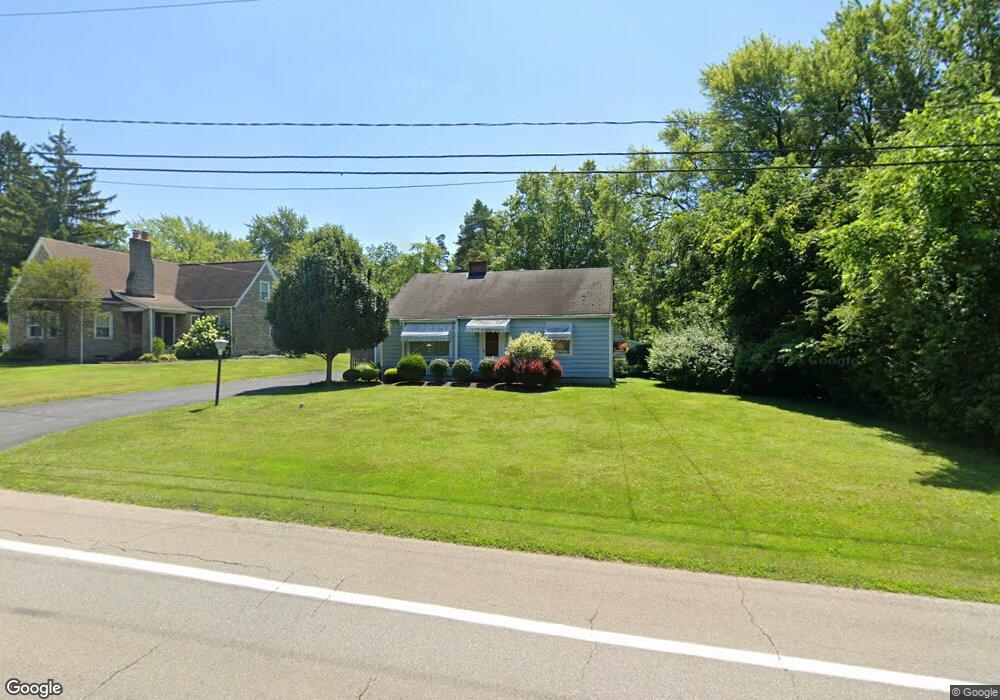
6296 Youngstown Hubbard Rd Hubbard, OH 44425
Estimated Value: $134,000 - $200,000
3
Beds
1
Bath
1,792
Sq Ft
$94/Sq Ft
Est. Value
About This Home
This home is located at 6296 Youngstown Hubbard Rd, Hubbard, OH 44425 and is currently estimated at $168,809, approximately $94 per square foot. 6296 Youngstown Hubbard Rd is a home located in Trumbull County with nearby schools including Hubbard Elementary School, Hubbard Middle School, and Hubbard High School.
Ownership History
Date
Name
Owned For
Owner Type
Purchase Details
Closed on
Oct 3, 2007
Sold by
Miller Donald G and Miller Estelle
Bought by
Miller Donald G and Miller Estelle
Current Estimated Value
Purchase Details
Closed on
Sep 26, 2007
Sold by
Miller Donald G and Miller Estelle
Bought by
Miller Donald G and Miller Estelle
Purchase Details
Closed on
Jan 1, 1990
Bought by
Donald G
Create a Home Valuation Report for This Property
The Home Valuation Report is an in-depth analysis detailing your home's value as well as a comparison with similar homes in the area
Home Values in the Area
Average Home Value in this Area
Purchase History
| Date | Buyer | Sale Price | Title Company |
|---|---|---|---|
| Miller Donald G | -- | None Available | |
| Miller Donald G | -- | None Available | |
| Donald G | -- | -- |
Source: Public Records
Tax History Compared to Growth
Tax History
| Year | Tax Paid | Tax Assessment Tax Assessment Total Assessment is a certain percentage of the fair market value that is determined by local assessors to be the total taxable value of land and additions on the property. | Land | Improvement |
|---|---|---|---|---|
| 2024 | $1,376 | $34,060 | $2,870 | $31,190 |
| 2023 | $1,376 | $34,060 | $2,870 | $31,190 |
| 2022 | $1,149 | $26,810 | $2,870 | $23,940 |
| 2021 | $1,154 | $26,810 | $2,870 | $23,940 |
| 2020 | $1,159 | $26,810 | $2,870 | $23,940 |
| 2019 | $1,076 | $24,640 | $2,870 | $21,770 |
| 2018 | $1,044 | $24,640 | $2,870 | $21,770 |
| 2017 | $1,041 | $24,640 | $2,870 | $21,770 |
| 2016 | $949 | $23,940 | $2,870 | $21,070 |
| 2015 | $952 | $23,940 | $2,870 | $21,070 |
| 2014 | $934 | $23,940 | $2,870 | $21,070 |
| 2013 | $1,001 | $25,060 | $2,870 | $22,190 |
Source: Public Records
Map
Nearby Homes
- 3317 Beechwood Dr
- 229 Jacobs Rd
- 269 Westview Ave
- 366 Westview Ave
- 279 Parish Ave
- 663 Meadowland Dr
- 254 Christian Ave
- 665 Wendemere Dr
- 5843 Fairlawn Ave
- 126 Stewart St
- 531 Meadowland Dr
- 110 School St
- 248 Myron St
- V/L Jacobs Rd
- 50 Walnut St
- 319 E Liberty St
- 2675 Seifert-Lewis Rd
- 114 Oakdale Ave
- 138 Moore St
- 132 Drummond Ave
- 6302 Youngstown Hubbard Rd
- 6314 Youngstown Hubbard Rd
- 6303 Youngstown Hubbard Rd
- 6297 Youngstown Hubbard Rd
- 6311 Youngstown Hubbard Rd
- 6276 Youngstown Hubbard Rd
- 6326 Youngstown Hubbard Rd
- 3346 Roseview Dr
- 3325 Roseview Dr
- 6325 Youngstown Hubbard Rd
- 3340 Roseview Dr
- 6332 Youngstown Hubbard Rd
- 3315 Roseview Dr
- 6263 Youngstown Hubbard Rd
- 3334 Roseview Dr
- 6262 Youngstown Hubbard Rd
- 6345 Youngstown Hubbard Rd
- 3410 Roseview Dr
- 3322 Roseview Dr
- 3307 Roseview Dr