62968 Red Dyke Rd Coos Bay, OR 97420
Estimated Value: $374,000 - $387,917
2
Beds
1
Bath
1,410
Sq Ft
$270/Sq Ft
Est. Value
About This Home
This home is located at 62968 Red Dyke Rd, Coos Bay, OR 97420 and is currently estimated at $380,959, approximately $270 per square foot. 62968 Red Dyke Rd is a home located in Coos County with nearby schools including Eastside School, Millicoma School, and Marshfield Senior High School.
Ownership History
Date
Name
Owned For
Owner Type
Purchase Details
Closed on
Apr 24, 2014
Sold by
Marchant Deborah
Bought by
Marchant Deborah and Moore Cynthia Mirana
Current Estimated Value
Purchase Details
Closed on
Apr 23, 2014
Sold by
Marchant Deborah and Moore Cynthia Mirana
Bought by
Bates Jonathan J and Bates Melissa R
Purchase Details
Closed on
Oct 31, 2006
Sold by
Slape George W
Bought by
Moore James S and Novak Sonia B
Home Financials for this Owner
Home Financials are based on the most recent Mortgage that was taken out on this home.
Original Mortgage
$200,000
Interest Rate
6.39%
Mortgage Type
Purchase Money Mortgage
Purchase Details
Closed on
Dec 8, 2005
Sold by
Yates Marsha
Bought by
Slape George W
Home Financials for this Owner
Home Financials are based on the most recent Mortgage that was taken out on this home.
Original Mortgage
$144,000
Interest Rate
8.55%
Mortgage Type
Unknown
Create a Home Valuation Report for This Property
The Home Valuation Report is an in-depth analysis detailing your home's value as well as a comparison with similar homes in the area
Home Values in the Area
Average Home Value in this Area
Purchase History
| Date | Buyer | Sale Price | Title Company |
|---|---|---|---|
| Marchant Deborah | -- | Cascade Title Co | |
| Bates Jonathan J | $117,000 | Ticor Title Company | |
| Moore James S | $200,000 | First American Title | |
| Slape George W | -- | Ticor Title Insurance |
Source: Public Records
Mortgage History
| Date | Status | Borrower | Loan Amount |
|---|---|---|---|
| Previous Owner | Moore James S | $200,000 | |
| Previous Owner | Slape George W | $144,000 |
Source: Public Records
Tax History Compared to Growth
Tax History
| Year | Tax Paid | Tax Assessment Tax Assessment Total Assessment is a certain percentage of the fair market value that is determined by local assessors to be the total taxable value of land and additions on the property. | Land | Improvement |
|---|---|---|---|---|
| 2024 | $2,052 | $139,560 | -- | -- |
| 2023 | $1,998 | $135,500 | $0 | $0 |
| 2022 | $1,978 | $131,560 | $0 | $0 |
| 2021 | $1,935 | $127,730 | $0 | $0 |
| 2020 | $1,891 | $127,730 | $0 | $0 |
| 2019 | $1,822 | $120,400 | $0 | $0 |
| 2018 | $1,754 | $116,900 | $0 | $0 |
| 2017 | $1,468 | $113,500 | $0 | $0 |
| 2016 | $1,414 | $110,200 | $0 | $0 |
| 2015 | $164 | $95,950 | $0 | $0 |
| 2014 | $164 | $89,310 | $0 | $0 |
Source: Public Records
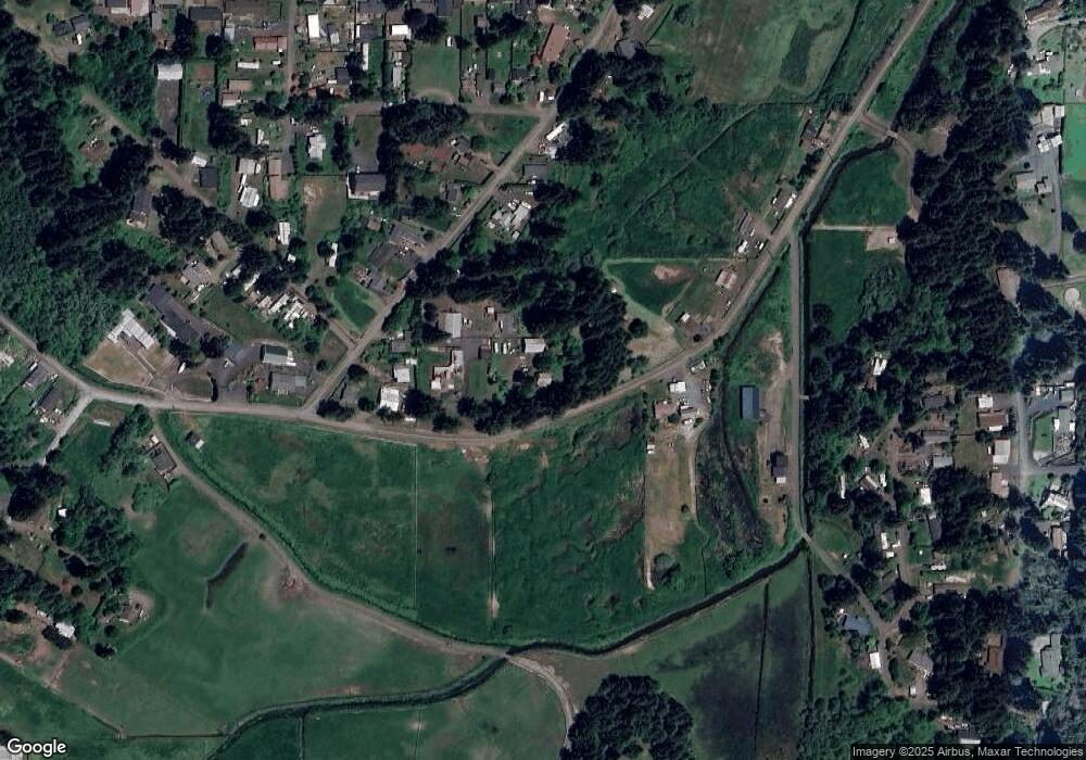
Map
Nearby Homes
- 62967 Rosebud Dr
- 0 Poppy Ct
- 92688 Libby Ln
- 93126 Sneddon Ln
- 2250 S 17th St
- 0 Pennsylvania Ave Unit 23250131
- 92631 Rainier Ln
- 0 Idaho Dr Unit 300 21226511
- 62974 Shinglehouse Rd
- 0 California Ave
- 1923 Idaho Dr
- 1123 Oregon Ave
- 1194 Oregon Ave
- 1138 Oregon Ave
- 1169 Washington Ave
- 0 Wrecking Rd
- 1351 Dakota St
- 1348 Dakota Ave
- 0 Miriam Unit 740433342
- 63232 Flanasgan Rd Unit LotWP001
- 62948 Red Dyke Rd
- 63017 Fruitdale Rd
- 63007 Fruitdale Rd
- 62912 Red Dyke Rd
- 63065 Fruitdale Rd
- 63042 Fruitdale Rd
- 63028 Fruitdale Rd
- 63050 Fruitdale Rd
- 63038 Fruitdale Rd
- 63064 Fruitdale Rd
- 63008 Red Dyke Rd
- 63073 Fruitdale Rd
- 63048 Fruitdale Rd
- 0 Fruitdale Unit 8098364
- 63083 Fruitdale Rd
- 63072 Fruitdale Rd
- 63038 Coal Creek Rd
- 92832 Persimmon Ln
- 62886 Red Dyke Rd
- 92798 Persimmon Ln