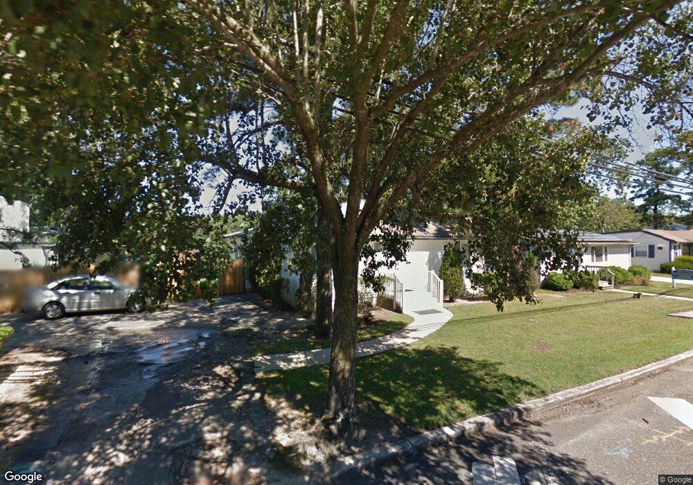
6297 Harding Hwy Mays Landing, NJ 08330
Estimated Value: $260,224 - $310,000
--
Bed
--
Bath
1,480
Sq Ft
$193/Sq Ft
Est. Value
About This Home
This home is located at 6297 Harding Hwy, Mays Landing, NJ 08330 and is currently estimated at $285,741, approximately $193 per square foot. 6297 Harding Hwy is a home with nearby schools including Joseph Shaner School, George L. Hess Educational Complex, and William Davies Middle School.
Ownership History
Date
Name
Owned For
Owner Type
Purchase Details
Closed on
Jul 29, 1994
Sold by
Hargrovswells Marian
Bought by
Mabon Diana
Current Estimated Value
Home Financials for this Owner
Home Financials are based on the most recent Mortgage that was taken out on this home.
Original Mortgage
$68,000
Interest Rate
8.65%
Mortgage Type
FHA
Create a Home Valuation Report for This Property
The Home Valuation Report is an in-depth analysis detailing your home's value as well as a comparison with similar homes in the area
Home Values in the Area
Average Home Value in this Area
Purchase History
| Date | Buyer | Sale Price | Title Company |
|---|---|---|---|
| Mabon Diana | $68,000 | -- |
Source: Public Records
Mortgage History
| Date | Status | Borrower | Loan Amount |
|---|---|---|---|
| Closed | Mabon Diana | $68,000 |
Source: Public Records
Tax History Compared to Growth
Tax History
| Year | Tax Paid | Tax Assessment Tax Assessment Total Assessment is a certain percentage of the fair market value that is determined by local assessors to be the total taxable value of land and additions on the property. | Land | Improvement |
|---|---|---|---|---|
| 2025 | $4,831 | $140,800 | $37,200 | $103,600 |
| 2024 | $4,831 | $140,800 | $37,200 | $103,600 |
| 2023 | $4,542 | $140,800 | $37,200 | $103,600 |
| 2022 | $4,542 | $140,800 | $37,200 | $103,600 |
| 2021 | $4,532 | $140,800 | $37,200 | $103,600 |
| 2020 | $4,532 | $140,800 | $37,200 | $103,600 |
| 2019 | $4,544 | $140,800 | $37,200 | $103,600 |
| 2018 | $4,385 | $140,800 | $37,200 | $103,600 |
| 2017 | $4,316 | $140,800 | $37,200 | $103,600 |
| 2016 | $4,194 | $140,800 | $37,200 | $103,600 |
| 2015 | $4,052 | $140,800 | $37,200 | $103,600 |
| 2014 | $4,453 | $169,500 | $48,200 | $121,300 |
Source: Public Records
Map
Nearby Homes
- 0 Harding Hwy Unit NJAC2019438
- 0 Harding Hwy Unit 597638
- 6301 Roberts Ave
- 6314 Lance Ave
- 6206 Roberts Ave
- 6310 Phillips Ave
- 6301 Knight Ave
- 6140 Robin Dr
- 37 Delancy Ct
- 150 Rainbow Dr
- 5 Camac Ave
- 80 Mill St
- 6062 Main St
- 16 Holly Ct
- 24 Holly Ct
- 13 Hickory Ln
- 14 Hickory Ln
- 10 Locust Ct
- 6015 Main St
- 32 Hickory Ln Unit 215
- 6293 Harding Hwy
- 6293 Old Harding Hwy
- 6301 Crocus St
- 6291 Harding Hwy
- 6291 Old Harding Hwy
- 6303 Crocus St
- 0 Harding Hwy Unit 333286
- 0 Harding Hwy Unit 376001
- 0 Harding Hwy Unit 424689
- 0 Harding Hwy Unit 481915
- 0 Harding Hwy Unit 487856
- 0 Harding Hwy Unit 492070
- 0 Harding Hwy Unit 6989822
- 0 Harding Hwy Unit NJAC2012428
- 0 Harding Hwy Unit 580017
- 0 Harding Hwy Unit NJAC2008176
- 0 Harding Hwy Unit 570323
- 0 Harding Hwy Unit NJAC2005018
- 0 Harding Hwy Unit NJAC116844
- 0 Harding Hwy Unit 548865