6299 Lone Peak Dr Evergreen, CO 80439
North Turkey Creek NeighborhoodEstimated Value: $1,712,539 - $1,988,000
4
Beds
3
Baths
4,082
Sq Ft
$448/Sq Ft
Est. Value
About This Home
This home is located at 6299 Lone Peak Dr, Evergreen, CO 80439 and is currently estimated at $1,827,385, approximately $447 per square foot. 6299 Lone Peak Dr is a home located in Jefferson County with nearby schools including Marshdale Elementary School, West Jefferson Middle School, and Conifer Senior High School.
Ownership History
Date
Name
Owned For
Owner Type
Purchase Details
Closed on
Jun 1, 2018
Sold by
Childs Bill W and Childs Sally Jane
Bought by
Willard Dorothy Crow and Willard Gary Crow
Current Estimated Value
Home Financials for this Owner
Home Financials are based on the most recent Mortgage that was taken out on this home.
Original Mortgage
$880,000
Outstanding Balance
$745,319
Interest Rate
3.62%
Mortgage Type
Adjustable Rate Mortgage/ARM
Estimated Equity
$1,082,066
Purchase Details
Closed on
Nov 26, 1996
Sold by
Petersen Raymond D and Petersen Susan R
Bought by
Childs Bill W and Childs Sally Jane
Create a Home Valuation Report for This Property
The Home Valuation Report is an in-depth analysis detailing your home's value as well as a comparison with similar homes in the area
Home Values in the Area
Average Home Value in this Area
Purchase History
| Date | Buyer | Sale Price | Title Company |
|---|---|---|---|
| Willard Dorothy Crow | $1,100,000 | Heritage Title Company | |
| Childs Bill W | $375,000 | -- |
Source: Public Records
Mortgage History
| Date | Status | Borrower | Loan Amount |
|---|---|---|---|
| Open | Willard Dorothy Crow | $880,000 |
Source: Public Records
Tax History Compared to Growth
Tax History
| Year | Tax Paid | Tax Assessment Tax Assessment Total Assessment is a certain percentage of the fair market value that is determined by local assessors to be the total taxable value of land and additions on the property. | Land | Improvement |
|---|---|---|---|---|
| 2024 | $8,649 | $94,307 | $43,465 | $50,842 |
| 2023 | $8,649 | $94,307 | $43,465 | $50,842 |
| 2022 | $7,748 | $82,006 | $25,321 | $56,685 |
| 2021 | $7,827 | $84,366 | $26,050 | $58,316 |
| 2020 | $6,675 | $71,386 | $20,592 | $50,794 |
| 2019 | $6,581 | $71,386 | $20,592 | $50,794 |
| 2018 | $5,810 | $60,953 | $20,524 | $40,429 |
| 2017 | $5,290 | $60,953 | $20,524 | $40,429 |
| 2016 | $5,524 | $59,486 | $18,779 | $40,707 |
| 2015 | $5,348 | $59,486 | $18,779 | $40,707 |
| 2014 | $5,348 | $55,874 | $20,030 | $35,844 |
Source: Public Records
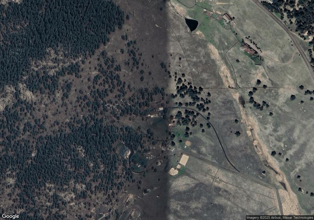
Map
Nearby Homes
- 6519 Jungfrau Way
- 5939 Lone Peak Dr
- 5825 High Dr
- 5720 Northwood Dr
- 25925 Lost Cabin Trail Unit 39-43
- 25187 Stanley Park Rd
- 6860 Kilimanjaro Dr
- 7082 Silverhorn Dr
- 6880 Kilimanjaro Dr
- 5886 High Dr
- 25728 Stanley Park Rd
- 6684 Olympus Dr
- 6187 Stone Creek Dr
- 5525 S Twin Spruce Dr
- 7033 Silverhorn Dr
- 6371 Canyon Creek Rd Unit 12
- 26130 Edelweiss Cir
- 5237 Bear Mountain Dr
- 5236 Bear Mountain Dr
- 5197 Bear Mountain Dr
- 6305 Lone Peak Dr
- 5909 Lone Peak Dr
- 6309 Lone Peak Dr
- 5948 Lone Peak Dr
- 5898 Lone Peak Dr
- 6058 Lone Peak Dr
- 5858 Lone Peak Dr
- 5839 Lone Peak Dr
- 6098 Lone Peak Dr
- 5817 High Dr
- 5821 High Dr
- 6525 Jungfrau Way
- 6315 Kenya Dr
- 5863 High Dr
- 5877 High Dr
- 5867 High Dr
- 5801 High Dr
- 25029 N Mountain Park Dr
- 5829 High Dr
- 5809 Lone Peak Dr