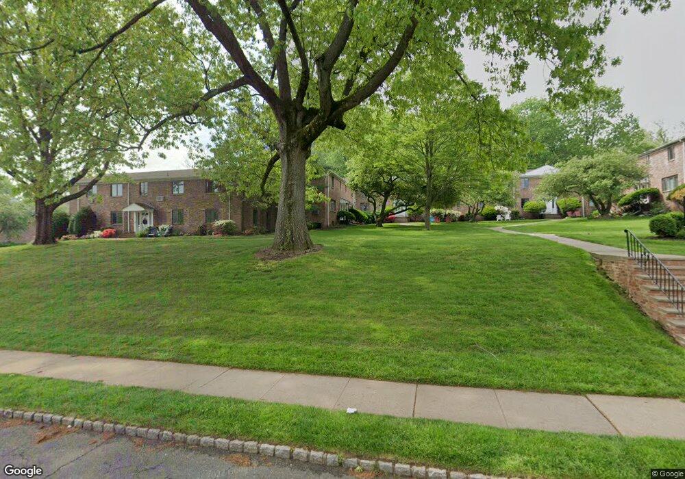
62B Troy Dr Unit 19 Springfield, NJ 07081
Estimated Value: $456,942 - $596,000
Studio
--
Bath
1,848
Sq Ft
$285/Sq Ft
Est. Value
About This Home
This home is located at 62B Troy Dr Unit 19, Springfield, NJ 07081 and is currently estimated at $526,236, approximately $284 per square foot. 62B Troy Dr Unit 19 is a home located in Union County with nearby schools including Jonathan Dayton High School and St James The Apostle School.
Ownership History
Date
Name
Owned For
Owner Type
Purchase Details
Closed on
Apr 9, 2018
Sold by
Didonato Nancy
Bought by
Vecchia Kathleen
Current Estimated Value
Home Financials for this Owner
Home Financials are based on the most recent Mortgage that was taken out on this home.
Original Mortgage
$260,000
Outstanding Balance
$221,608
Interest Rate
4.43%
Mortgage Type
New Conventional
Estimated Equity
$304,628
Purchase Details
Closed on
Apr 28, 2015
Sold by
Stull Mary Beth
Bought by
Ventures Trust 2013-- Ihr By Mcm Capital
Purchase Details
Closed on
Jul 22, 2005
Sold by
Bucciero Lori
Bought by
Stull Mary Beth
Home Financials for this Owner
Home Financials are based on the most recent Mortgage that was taken out on this home.
Original Mortgage
$249,000
Interest Rate
5.59%
Purchase Details
Closed on
Dec 18, 1998
Sold by
Bucciero Frank and Bucciero Lori
Bought by
Bucciero Lori
Create a Home Valuation Report for This Property
The Home Valuation Report is an in-depth analysis detailing your home's value as well as a comparison with similar homes in the area
Home Values in the Area
Average Home Value in this Area
Purchase History
| Date | Buyer | Sale Price | Title Company |
|---|---|---|---|
| Vecchia Kathleen | $325,000 | Old Republic Natl Title Ins | |
| Ventures Trust 2013-- Ihr By Mcm Capital | $1,000 | Attorney | |
| Stull Mary Beth | $389,000 | -- | |
| Bucciero Lori | -- | -- |
Source: Public Records
Mortgage History
| Date | Status | Borrower | Loan Amount |
|---|---|---|---|
| Open | Vecchia Kathleen | $260,000 | |
| Previous Owner | Stull Mary Beth | $249,000 |
Source: Public Records
Tax History
| Year | Tax Paid | Tax Assessment Tax Assessment Total Assessment is a certain percentage of the fair market value that is determined by local assessors to be the total taxable value of land and additions on the property. | Land | Improvement |
|---|---|---|---|---|
| 2025 | $7,379 | $310,700 | $125,000 | $185,700 |
| 2024 | $7,258 | $310,700 | $125,000 | $185,700 |
| 2023 | $7,258 | $310,700 | $125,000 | $185,700 |
| 2022 | $6,739 | $310,700 | $125,000 | $185,700 |
| 2021 | $7,013 | $94,200 | $35,000 | $59,200 |
| 2020 | $6,904 | $94,200 | $35,000 | $59,200 |
| 2019 | $6,811 | $94,200 | $35,000 | $59,200 |
| 2018 | $6,688 | $94,200 | $35,000 | $59,200 |
| 2017 | $6,505 | $94,200 | $35,000 | $59,200 |
| 2016 | $6,378 | $94,200 | $35,000 | $59,200 |
| 2015 | $6,304 | $94,200 | $35,000 | $59,200 |
| 2014 | -- | $94,200 | $35,000 | $59,200 |
Source: Public Records
Map
Nearby Homes
- 77B Troy Dr Unit 77B
- 65 Springfield Ave
- 5B Troy Dr Unit 1
- 300 Wilson Rd Unit 24D
- 37-39 Edison Dr
- 7 Canterbury Ln
- 1 Milton Ave
- 28 Morris Ave Unit DD
- 28 Morris Ave Unit G4
- 15 Canterbury Ln
- 33 Springbrook Rd
- 39 Huntley Rd
- 2 S Audlen Terrace
- 46 Elmwood Place
- 445 Morris Ave Unit 4C
- 445 Morris Ave Unit 11D
- 445 Morris Ave Unit D11
- 16 West Rd
- 12 Coniston Rd
- 133 Morris Ave
- 62 Troy Dr Unit 19
- 62 Troy Dr Unit 62 B
- 64 Troy Dr Unit 19
- 64 Troy Dr Unit 19
- 64 Troy Dr Unit 19
- 64 Troy Dr Unit 19
- 64A Troy Dr Unit A
- 64 Troy Dr
- 64 Troy Dr
- 64 Troy Dr Unit 64 C
- 60A Troy Dr Unit 19
- 60 Troy Dr Unit 19
- 60A Troy Dr Unit A
- 66 Troy Dr Unit 19
- 66 Troy Dr Unit 19
- 66 Troy Dr Unit 19
- 66 Troy Dr Unit 19
- 66 Troy Dr Unit A
- 66 Troy Dr Unit B
- 66 Troy Dr Unit D
Your Personal Tour Guide
Ask me questions while you tour the home.