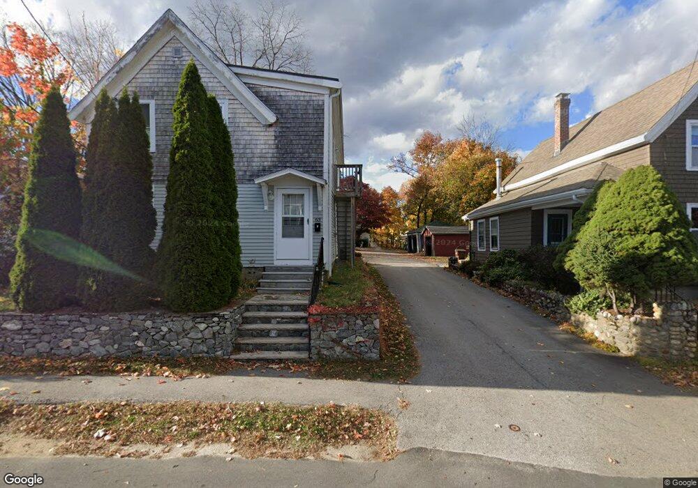
63 1/2 Thompson St Amesbury, MA 01913
Estimated Value: $614,000 - $816,000
4
Beds
2
Baths
2,469
Sq Ft
$298/Sq Ft
Est. Value
About This Home
This home is located at 63 1/2 Thompson St, Amesbury, MA 01913 and is currently estimated at $736,743, approximately $298 per square foot. 63 1/2 Thompson St is a home located in Essex County with nearby schools including Amesbury High School and Amesbury Seventh-Day Adventist School.
Ownership History
Date
Name
Owned For
Owner Type
Purchase Details
Closed on
Mar 27, 2018
Sold by
Jones Ronald L
Bought by
Tonani Teuci A and Tonani Jennifer P
Current Estimated Value
Purchase Details
Closed on
Nov 6, 1987
Sold by
Tatarczuk Richard A
Bought by
Jones Marlene M
Home Financials for this Owner
Home Financials are based on the most recent Mortgage that was taken out on this home.
Original Mortgage
$139,500
Interest Rate
10.97%
Mortgage Type
Purchase Money Mortgage
Create a Home Valuation Report for This Property
The Home Valuation Report is an in-depth analysis detailing your home's value as well as a comparison with similar homes in the area
Home Values in the Area
Average Home Value in this Area
Purchase History
| Date | Buyer | Sale Price | Title Company |
|---|---|---|---|
| Tonani Teuci A | -- | -- | |
| Jones Marlene M | $155,000 | -- |
Source: Public Records
Mortgage History
| Date | Status | Borrower | Loan Amount |
|---|---|---|---|
| Previous Owner | Jones Marlene M | $195,500 | |
| Previous Owner | Jones Marlene M | $139,500 |
Source: Public Records
Tax History
| Year | Tax Paid | Tax Assessment Tax Assessment Total Assessment is a certain percentage of the fair market value that is determined by local assessors to be the total taxable value of land and additions on the property. | Land | Improvement |
|---|---|---|---|---|
| 2025 | $9,833 | $642,700 | $242,300 | $400,400 |
| 2024 | $9,279 | $593,300 | $228,600 | $364,700 |
| 2023 | $9,209 | $563,600 | $198,900 | $364,700 |
| 2022 | $8,406 | $475,200 | $173,000 | $302,200 |
| 2021 | $8,433 | $462,100 | $133,700 | $328,400 |
| 2020 | $7,583 | $441,400 | $128,500 | $312,900 |
| 2019 | $7,528 | $409,800 | $128,500 | $281,300 |
| 2018 | $7,239 | $381,200 | $122,300 | $258,900 |
| 2017 | $6,861 | $343,900 | $122,300 | $221,600 |
| 2016 | $6,786 | $334,600 | $122,300 | $212,300 |
| 2015 | $6,643 | $323,400 | $122,300 | $201,100 |
| 2014 | $6,354 | $303,000 | $122,300 | $180,700 |
Source: Public Records
Map
Nearby Homes
- 19 Maple St Unit 21
- 20 Lincoln Ct
- 8 Winter St
- 4 Larnard Ct
- 48 Orchard St
- 3 Tremont Ave Unit A
- 27 Lake St
- 1 Hillside Ave Unit 3
- 4 Boardman St
- 4 Greenwood St
- 101 Market St Unit B
- 25 Cedar St Unit 4
- 97 Elm St
- 15 Wells Ave
- 5 Russell St Unit 1
- 21 River St
- 12 Locke Hill Ln
- 149 Market St
- 10 Congress St Unit 302
- 253 Main St
- 63 Thompson St
- 65 Thompson St
- 61 Thompson St
- 59 Thompson St
- 43 Whitehall Rd
- 7 Garfield St
- 5 Garfield St
- 35 Whitehall Rd Unit 41
- 35 Whitehall Rd
- 35 Whitehall Rd Unit 35
- 41 Whitehall Rd Unit 1
- 41 Whitehall Rd
- 25 Whitehall Rd
- 9 Garfield St
- 3 Garfield St
- 23 Whitehall Rd
- 39 Whitehall Rd Unit 39
- 45 Whitehall Rd
- 11 Garfield St
- 57 Thompson St
Your Personal Tour Guide
Ask me questions while you tour the home.