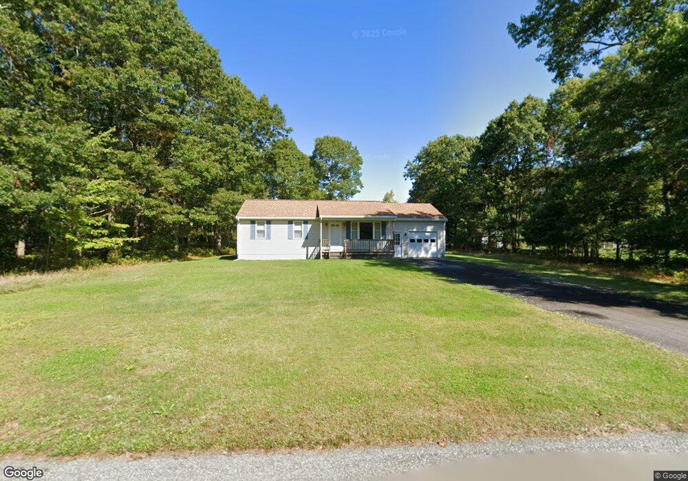
63 Andrew Ct Swansea, MA 02777
Northeast Swansea NeighborhoodEstimated Value: $482,463 - $761,000
2
Beds
1
Bath
950
Sq Ft
$628/Sq Ft
Est. Value
About This Home
This home is located at 63 Andrew Ct, Swansea, MA 02777 and is currently estimated at $596,366, approximately $627 per square foot. 63 Andrew Ct is a home located in Bristol County with nearby schools including Joseph Case High School.
Ownership History
Date
Name
Owned For
Owner Type
Purchase Details
Closed on
Sep 18, 2024
Sold by
Stanko Brian W and Stanko Alissa M
Bought by
Stanko Paul W
Current Estimated Value
Purchase Details
Closed on
Sep 24, 2021
Sold by
Stanko Paul W and Lawson Caroline A
Bought by
Stanko Paul W and Stanko Alissa M
Purchase Details
Closed on
Apr 23, 2012
Sold by
Stanko Paul W
Bought by
Stanko Brian W and Stanko Caroline A
Create a Home Valuation Report for This Property
The Home Valuation Report is an in-depth analysis detailing your home's value as well as a comparison with similar homes in the area
Home Values in the Area
Average Home Value in this Area
Purchase History
| Date | Buyer | Sale Price | Title Company |
|---|---|---|---|
| Stanko Paul W | -- | None Available | |
| Stanko Paul W | -- | None Available | |
| Stanko Paul W | -- | None Available | |
| Stanko Brian W | -- | None Available | |
| Stanko Paul W | -- | None Available | |
| Stanko Brian W | -- | -- | |
| Stanko Brian W | -- | -- |
Source: Public Records
Mortgage History
| Date | Status | Borrower | Loan Amount |
|---|---|---|---|
| Previous Owner | Stanko Brian W | $45,000 |
Source: Public Records
Tax History Compared to Growth
Tax History
| Year | Tax Paid | Tax Assessment Tax Assessment Total Assessment is a certain percentage of the fair market value that is determined by local assessors to be the total taxable value of land and additions on the property. | Land | Improvement |
|---|---|---|---|---|
| 2025 | $5,197 | $436,000 | $199,000 | $237,000 |
| 2024 | $5,192 | $433,000 | $199,000 | $234,000 |
| 2023 | $4,698 | $357,800 | $148,000 | $209,800 |
| 2022 | $4,628 | $321,600 | $128,700 | $192,900 |
| 2021 | $4,320 | $276,400 | $134,500 | $141,900 |
| 2020 | $4,398 | $282,300 | $140,400 | $141,900 |
| 2019 | $4,079 | $263,000 | $121,100 | $141,900 |
| 2018 | $3,556 | $255,200 | $118,100 | $137,100 |
| 2017 | $3,321 | $250,100 | $113,000 | $137,100 |
| 2016 | $3,406 | $251,900 | $108,800 | $143,100 |
| 2015 | $3,117 | $237,400 | $108,800 | $128,600 |
| 2014 | $3,070 | $239,100 | $108,800 | $130,300 |
Source: Public Records
Map
Nearby Homes
- 19 Cedar St Unit 21
- 2660 Courtlyn Rd
- 48 Laurie Ln
- 1352 Main St
- 14 Deborah Ann Dr Unit 41
- 16 Ashlynn Way
- 0 Wellington St
- 35 Clubhouse Dr Unit RR35
- RR33 Club House Dr Unit Lot RR33
- 120 Plain St
- 1240 Smith St
- 47 Spring St
- 3064 Clubhouse Dr
- 2713 Horton St
- 3045 Clubhouse Dr Unit Lot 75
- 3035 Clubhouse Dr Unit 6
- 3035 Clubhouse Dr Unit 8
- 3049 Clubhouse Dr Unit 77
- 3035 Clubhouse Dr Unit 2
- 3055 Clubhouse Dr Unit 80