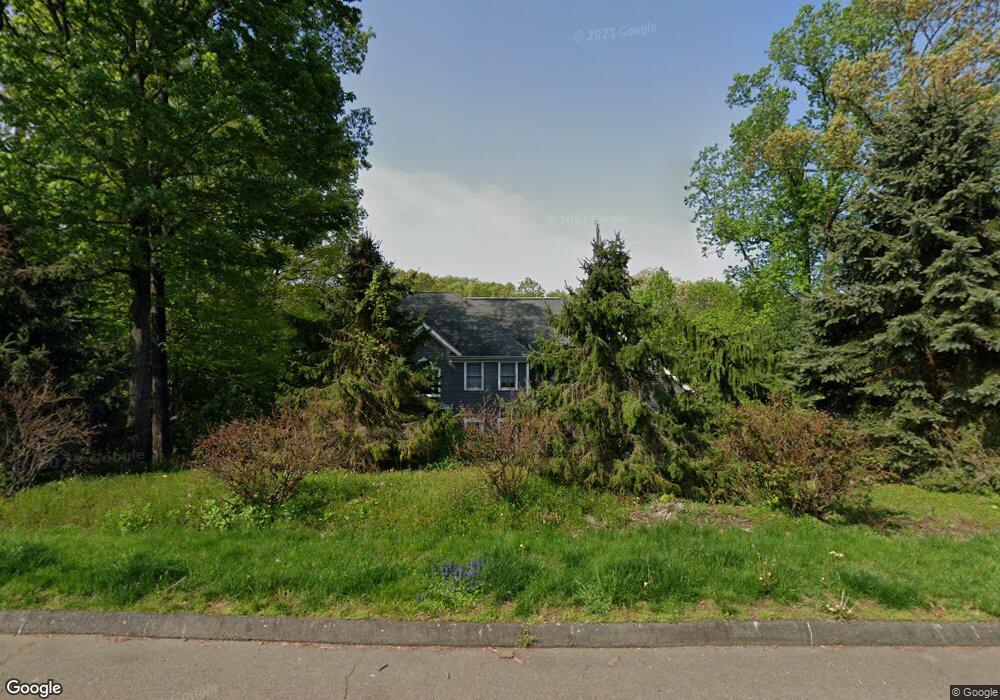
63 Aspen Ln Trumbull, CT 06611
Daniel Farm District NeighborhoodEstimated Value: $1,037,709 - $1,279,000
4
Beds
4
Baths
3,472
Sq Ft
$337/Sq Ft
Est. Value
About This Home
This home is located at 63 Aspen Ln, Trumbull, CT 06611 and is currently estimated at $1,170,427, approximately $337 per square foot. 63 Aspen Ln is a home located in Fairfield County with nearby schools including Daniels Farm School, Hillcrest Middle School, and Trumbull High School.
Ownership History
Date
Name
Owned For
Owner Type
Purchase Details
Closed on
May 2, 2011
Sold by
Lincoln Stephen P and Lincoln Leslie A
Bought by
Mcgill Mark R and Mcgill Rosa
Current Estimated Value
Home Financials for this Owner
Home Financials are based on the most recent Mortgage that was taken out on this home.
Original Mortgage
$284,000
Interest Rate
4.76%
Purchase Details
Closed on
Sep 2, 1999
Sold by
Porters Hill Dev Llc
Bought by
Lincoln Stephen P and Lincoln Leslie A
Create a Home Valuation Report for This Property
The Home Valuation Report is an in-depth analysis detailing your home's value as well as a comparison with similar homes in the area
Home Values in the Area
Average Home Value in this Area
Purchase History
We collect this data history from publicly available records. To have your information removed, we recommend requesting removal directly through your county’s website.
| Date | Buyer | Sale Price | Title Company |
|---|---|---|---|
| Mcgill Mark R | $670,000 | -- | |
| Lincoln Stephen P | $189,000 | -- |
Source: Public Records
Mortgage History
We collect this data history from publicly available records. To have your information removed, we recommend requesting removal directly through your county’s website.
| Date | Status | Borrower | Loan Amount |
|---|---|---|---|
| Open | Lincoln Stephen P | $255,000 | |
| Closed | Lincoln Stephen P | $284,000 | |
| Previous Owner | Lincoln Stephen P | $427,000 |
Source: Public Records
Tax History
| Year | Tax Paid | Tax Assessment Tax Assessment Total Assessment is a certain percentage of the fair market value that is determined by local assessors to be the total taxable value of land and additions on the property. | Land | Improvement |
|---|---|---|---|---|
| 2025 | $18,062 | $489,230 | $176,260 | $312,970 |
| 2024 | $17,568 | $489,230 | $176,260 | $312,970 |
| 2023 | $17,284 | $489,230 | $176,260 | $312,970 |
| 2022 | $17,008 | $489,230 | $176,260 | $312,970 |
| 2021 | $15,880 | $442,960 | $160,370 | $282,590 |
| 2020 | $15,880 | $442,960 | $160,370 | $282,590 |
| 2018 | $15,488 | $442,960 | $160,370 | $282,590 |
| 2017 | $15,176 | $442,960 | $160,370 | $282,590 |
| 2016 | $14,870 | $442,960 | $160,370 | $282,590 |
| 2015 | $15,075 | $443,900 | $151,000 | $292,900 |
| 2014 | $14,751 | $443,900 | $151,000 | $292,900 |
Source: Public Records
Map
Nearby Homes
- 9 Academy Rd
- 110 Porters Hill Rd
- 121 Lewis Rd
- 89 Cranbury Dr
- 1209 Daniels Farm Rd
- 17 Moose Hill Rd
- 20 Whitefield Dr
- 7 Mcguire Rd
- 1057 Daniels Farm Rd
- 107 Broadway
- 93 Putting Green Rd N
- 355 Spring Hill Rd
- 415 Pitkin Hollow
- 890 Daniels Farm Rd
- 11 Wilson Ln
- 21 Shawnee Ln
- 66 Natalie Rd
- 33 Ryegate Terrace
- 8 Scenic Hill Rd
- 184 Putting Green Rd
Your Personal Tour Guide
Ask me questions while you tour the home.