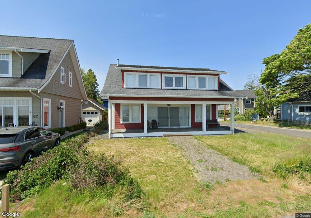
63 Bay View Dr Point Roberts, WA 98281
Estimated Value: $751,462 - $1,166,000
2
Beds
2
Baths
1,997
Sq Ft
$438/Sq Ft
Est. Value
About This Home
This home is located at 63 Bay View Dr, Point Roberts, WA 98281 and is currently estimated at $874,866, approximately $438 per square foot. 63 Bay View Dr is a home located in Whatcom County with nearby schools including Point Roberts Primary School, Blaine Middle School, and Blaine High School.
Ownership History
Date
Name
Owned For
Owner Type
Purchase Details
Closed on
Mar 7, 2011
Sold by
Hamill Wayne Andrew and Hamill Vicki Katharine
Bought by
Hogikyan Robert M and Hogikyan Lisa C
Current Estimated Value
Purchase Details
Closed on
Mar 5, 2010
Sold by
49 Below Holdings Ltd
Bought by
Hamill Wayne Andrew and Hamill Vicki Katherine
Purchase Details
Closed on
Jul 8, 2003
Sold by
Mcgregor Jim and Christi Barbara Ann
Bought by
49 Below Holdings Ltd
Purchase Details
Closed on
Mar 12, 2003
Sold by
Pomada Michelle Whalen and Bower Alan H
Bought by
Mcgregor Jim and Christi Barbara Ann
Home Financials for this Owner
Home Financials are based on the most recent Mortgage that was taken out on this home.
Original Mortgage
$87,000
Interest Rate
5.72%
Mortgage Type
Purchase Money Mortgage
Create a Home Valuation Report for This Property
The Home Valuation Report is an in-depth analysis detailing your home's value as well as a comparison with similar homes in the area
Home Values in the Area
Average Home Value in this Area
Purchase History
| Date | Buyer | Sale Price | Title Company |
|---|---|---|---|
| Hogikyan Robert M | $535,280 | First American Title Ins | |
| Hamill Wayne Andrew | -- | None Available | |
| 49 Below Holdings Ltd | -- | Whatcom Land Title | |
| Mcgregor Jim | $70,000 | Whatcom Land Title |
Source: Public Records
Mortgage History
| Date | Status | Borrower | Loan Amount |
|---|---|---|---|
| Previous Owner | Mcgregor Jim | $87,000 |
Source: Public Records
Tax History Compared to Growth
Tax History
| Year | Tax Paid | Tax Assessment Tax Assessment Total Assessment is a certain percentage of the fair market value that is determined by local assessors to be the total taxable value of land and additions on the property. | Land | Improvement |
|---|---|---|---|---|
| 2024 | $5,747 | $756,194 | $343,283 | $412,911 |
| 2023 | $5,747 | $724,986 | $312,075 | $412,911 |
| 2022 | $5,582 | $662,088 | $285,000 | $377,088 |
| 2021 | $5,558 | $584,872 | $214,016 | $370,856 |
| 2020 | $5,522 | $541,540 | $198,160 | $343,380 |
| 2019 | $5,102 | $519,459 | $190,080 | $329,379 |
| 2018 | $5,115 | $466,988 | $170,880 | $296,108 |
| 2017 | $4,432 | $446,000 | $163,200 | $282,800 |
| 2016 | $4,552 | $437,255 | $160,000 | $277,255 |
| 2015 | $4,843 | $436,641 | $154,576 | $282,065 |
| 2014 | -- | $456,474 | $161,600 | $294,874 |
| 2013 | -- | $436,590 | $155,200 | $281,390 |
Source: Public Records
Map
Nearby Homes
- 2145 Fir St
- 103 Goodman Rd
- 0 3 73 Acres Derby Ave
- 251 Elizabeth Dr
- 1931 Sanders Ct Unit 11
- 302 Boundary Bay Rd
- 4 Boundary Bay Rd
- Lot 35 Boundary Bay Rd
- 2138 Benson Rd
- 1871 Johnson Rd
- 0 X Weasel Run
- 412 High Bluff Dr
- 0 Lot 7 Weasel Run Rd
- 6 Weasel Run Rd
- 500 Moose Trail
- 1 Mill Rd
- 2 Mill Rd
- Lot 2 Greenwood Dr
- 2 Benson Rd
- lot 14 Cedar Park Dr Unit 14