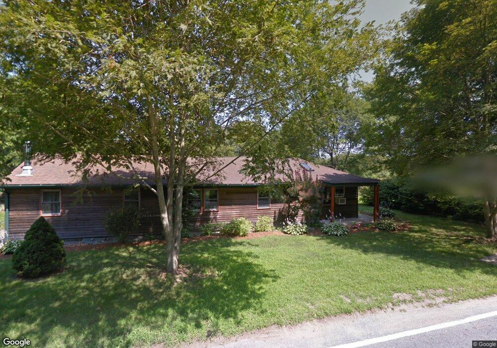
63 Blanding Rd Rehoboth, MA 02769
Estimated Value: $463,000 - $636,000
2
Beds
1
Bath
1,493
Sq Ft
$357/Sq Ft
Est. Value
About This Home
This home is located at 63 Blanding Rd, Rehoboth, MA 02769 and is currently estimated at $532,404, approximately $356 per square foot. 63 Blanding Rd is a home located in Bristol County with nearby schools including Dighton-Rehoboth Regional High School, St Margaret School, and Cedar Brook School.
Ownership History
Date
Name
Owned For
Owner Type
Purchase Details
Closed on
Feb 8, 2017
Sold by
Digiammo Nicholas H and Digiammo Debra L
Bought by
Digiammo Nicholas J and Digiammo Debra L
Current Estimated Value
Create a Home Valuation Report for This Property
The Home Valuation Report is an in-depth analysis detailing your home's value as well as a comparison with similar homes in the area
Home Values in the Area
Average Home Value in this Area
Purchase History
| Date | Buyer | Sale Price | Title Company |
|---|---|---|---|
| Digiammo Nicholas J | -- | -- |
Source: Public Records
Tax History
| Year | Tax Paid | Tax Assessment Tax Assessment Total Assessment is a certain percentage of the fair market value that is determined by local assessors to be the total taxable value of land and additions on the property. | Land | Improvement |
|---|---|---|---|---|
| 2025 | $45 | $405,100 | $196,700 | $208,400 |
| 2024 | $4,399 | $387,200 | $196,700 | $190,500 |
| 2023 | $4,134 | $357,000 | $192,700 | $164,300 |
| 2022 | $4,092 | $323,000 | $184,300 | $138,700 |
| 2021 | $3,893 | $294,000 | $168,000 | $126,000 |
| 2020 | $3,741 | $285,100 | $168,000 | $117,100 |
| 2018 | $3,265 | $272,800 | $160,200 | $112,600 |
| 2017 | $4,394 | $249,800 | $160,200 | $89,600 |
| 2016 | $3,067 | $252,400 | $160,200 | $92,200 |
| 2015 | $2,862 | $232,500 | $153,000 | $79,500 |
| 2014 | $2,803 | $225,300 | $145,800 | $79,500 |
Source: Public Records
Map
Nearby Homes
- 252 Pine St
- 67 Wheeler St
- 23 Colonial Way
- 7 Ciana Rd
- 44 Hope St
- 267 Chestnut St
- 0 Winter St
- 100 Bradley St
- 42 Tee Jay Dr
- 6 Running Stream Rd
- 15 Hickory Ridge Rd
- 9 Wedge Way
- 9 Tammy Jean Dr
- 111 Summer St
- 20 School St
- 8 Agawam Ct
- 702 Arcade Ave
- 155 Sagamore Rd
- 209 Providence St Bldr Lot 1
- 205 Providence St Bldr Lot 3
- 67 Blanding Rd
- 68 Blanding Rd
- 58 Blanding Rd
- 59 Blanding Rd
- 71 Blanding Rd
- 56 Blanding Rd
- 72 Blanding Rd
- 62 Blanding Rd
- 62 Blanding Rd Unit 2
- 55 Blanding Rd
- 54 Blanding Rd
- 75 Blanding Rd
- 52 Blanding Rd
- 78 Blanding Rd
- 569 Winthrop St
- 569 Winthrop St Unit 2
- 569 Winthrop St Unit 3
- 569 Winthrop St Unit 1
- 74 Blanding Rd Unit 78
- 308 Summer St
Your Personal Tour Guide
Ask me questions while you tour the home.