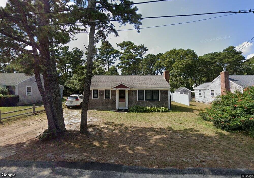
63 Captain Chase Rd Dennis Port, MA 02639
Dennis Port NeighborhoodEstimated Value: $506,000 - $608,000
3
Beds
1
Bath
936
Sq Ft
$613/Sq Ft
Est. Value
About This Home
This home is located at 63 Captain Chase Rd, Dennis Port, MA 02639 and is currently estimated at $573,741, approximately $612 per square foot. 63 Captain Chase Rd is a home located in Barnstable County with nearby schools including Dennis-Yarmouth Regional High School and St. Pius X. School.
Ownership History
Date
Name
Owned For
Owner Type
Purchase Details
Closed on
Jul 1, 2011
Sold by
Batstone David S and Batstone Stuart D
Bought by
Daly Lauren P
Current Estimated Value
Home Financials for this Owner
Home Financials are based on the most recent Mortgage that was taken out on this home.
Original Mortgage
$219,500
Outstanding Balance
$151,791
Interest Rate
4.62%
Mortgage Type
Purchase Money Mortgage
Estimated Equity
$421,950
Create a Home Valuation Report for This Property
The Home Valuation Report is an in-depth analysis detailing your home's value as well as a comparison with similar homes in the area
Home Values in the Area
Average Home Value in this Area
Purchase History
| Date | Buyer | Sale Price | Title Company |
|---|---|---|---|
| Daly Lauren P | $233,000 | -- |
Source: Public Records
Mortgage History
| Date | Status | Borrower | Loan Amount |
|---|---|---|---|
| Open | Daly Lauren P | $219,500 |
Source: Public Records
Tax History Compared to Growth
Tax History
| Year | Tax Paid | Tax Assessment Tax Assessment Total Assessment is a certain percentage of the fair market value that is determined by local assessors to be the total taxable value of land and additions on the property. | Land | Improvement |
|---|---|---|---|---|
| 2025 | $2,079 | $480,200 | $190,100 | $290,100 |
| 2024 | $1,941 | $442,200 | $182,800 | $259,400 |
| 2023 | $1,878 | $402,200 | $166,200 | $236,000 |
| 2022 | $1,807 | $322,700 | $149,700 | $173,000 |
| 2021 | $1,826 | $302,800 | $167,700 | $135,100 |
| 2020 | $1,663 | $272,600 | $146,700 | $125,900 |
| 2019 | $1,577 | $255,600 | $143,900 | $111,700 |
| 2018 | $1,512 | $238,500 | $137,000 | $101,500 |
| 2017 | $1,386 | $225,300 | $127,200 | $98,100 |
| 2016 | $1,429 | $218,800 | $137,000 | $81,800 |
| 2015 | $1,400 | $218,800 | $137,000 | $81,800 |
| 2014 | $1,265 | $199,200 | $117,400 | $81,800 |
Source: Public Records
Map
Nearby Homes
- 31 Easy St
- 80 Michaels Ave
- 22 Wixon Rd
- 19 Standish Way
- 37 Ocean Dr Unit 2
- 64 Beaten Rd
- 37 Beach Hills Rd
- 72 Bassett Ln
- 262 Old Wharf Rd Unit 67
- 262 Old Wharf Rd Unit 5
- 262 Old Wharf Rd Unit 5
- 262 Old Wharf Rd Unit 20
- 262 Old Wharf Rd Unit 87
- 37-A Beach Hills Rd
- 22 Ferncliff Rd
- 4 Coffey Ln
- 154 Old Wharf Rd Unit 26
- 154 Old Wharf Rd Unit 14
- 125 Main St Unit 3
- 241 Old Wharf Rd Unit 127
- 61 Captain Chase Rd
- 67 Captain Chase Rd
- 63 Capt Chase Rd
- 66 Captain Chase Rd
- 57 Captain Chase Rd
- 70 Captain Chase Rd
- 58 Captain Chase Rd
- 73 Captain Chase Rd
- 55 Captain Chase Rd
- 3 2nd Mate Row
- 4 1st Mate Row
- 4 2nd Mate Row
- 75 Captain Chase Rd
- 7 2nd Mate Row
- 51 Captain Chase Rd
- 54 Captain Chase Rd
- 75 Siasconset Ave
- 69 Siasconset Ave
- 8 2nd Mate Row
- 8 1st Mate Row