63 Carrie Cir Fairfield, CT 06825
Stratfield Village NeighborhoodEstimated Value: $735,000 - $838,000
2
Beds
3
Baths
1,782
Sq Ft
$430/Sq Ft
Est. Value
About This Home
This home is located at 63 Carrie Cir, Fairfield, CT 06825 and is currently estimated at $766,024, approximately $429 per square foot. 63 Carrie Cir is a home located in Fairfield County with nearby schools including North Stratfield Elementary School, Fairfield Woods Middle School, and Fairfield Warde High School.
Ownership History
Date
Name
Owned For
Owner Type
Purchase Details
Closed on
Jun 27, 2000
Sold by
Stratfield Falls Inc
Bought by
Maxwell Thomas F and Maxwell Ellen C
Current Estimated Value
Create a Home Valuation Report for This Property
The Home Valuation Report is an in-depth analysis detailing your home's value as well as a comparison with similar homes in the area
Home Values in the Area
Average Home Value in this Area
Purchase History
| Date | Buyer | Sale Price | Title Company |
|---|---|---|---|
| Maxwell Thomas F | $425,000 | -- | |
| Maxwell Thomas F | $425,000 | -- |
Source: Public Records
Mortgage History
| Date | Status | Borrower | Loan Amount |
|---|---|---|---|
| Open | Maxwell Thomas F | $280,000 | |
| Closed | Maxwell Thomas F | $200,000 | |
| Closed | Maxwell Thomas F | $322,700 | |
| Closed | Maxwell Thomas F | $340,000 |
Source: Public Records
Tax History
| Year | Tax Paid | Tax Assessment Tax Assessment Total Assessment is a certain percentage of the fair market value that is determined by local assessors to be the total taxable value of land and additions on the property. | Land | Improvement |
|---|---|---|---|---|
| 2025 | $11,288 | $397,600 | $0 | $397,600 |
| 2024 | $11,093 | $397,600 | $0 | $397,600 |
| 2023 | $10,938 | $397,600 | $0 | $397,600 |
| 2022 | $10,831 | $397,600 | $0 | $397,600 |
| 2021 | $9,694 | $397,600 | $0 | $397,600 |
| 2020 | $9,478 | $310,870 | $0 | $310,870 |
| 2019 | $8,328 | $310,870 | $0 | $310,870 |
| 2018 | $8,195 | $310,870 | $0 | $310,870 |
| 2017 | $8,027 | $310,870 | $0 | $310,870 |
| 2016 | $7,912 | $310,870 | $0 | $310,870 |
| 2015 | $8,381 | $338,100 | $0 | $338,100 |
| 2014 | $8,250 | $338,100 | $0 | $338,100 |
Source: Public Records
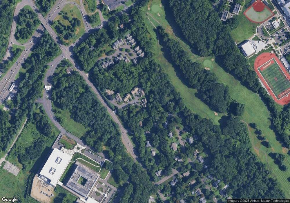
Map
Nearby Homes
- 71 Schiller Rd
- 338 Stevenson Rd
- 249 Wheeler Park Ave
- 5763 Park Ave
- 132 Toll House Ln
- 121 Campbell Rd
- 40 Toll House Ln
- 8 Raleigh Rd
- 357 Harvester Rd
- 160 Glengarry Rd Unit 160
- 18 Ridgebury Dr
- 170 Marilyn Dr
- 134 Delaware Rd
- 1924 Stratfield Rd
- 3460 Old Town Rd
- 16 Paisley Ln Unit 16
- 3432 Old Town Rd
- 35 Balmaha Ct
- 93 Tersana Dr
- 69 Seaver Cir
- 59 Carrie Cir
- 64 Carrie Cir
- 64 Carrie Cir Unit 64
- 60 Carrie Cir
- 60 Carrie Cir Unit 60
- 52 Carrie Cir
- 52 Carrie Cir Unit 52
- 56 Carrie Cir
- 40 Carrie Cir
- 44 Carrie Cir
- 24 Carrie Cir
- 24 Carrie Cir Unit 24
- 360 Autumn Ridge Rd
- 20 Carrie Cir
- 121 Spring Valley Rd
- 97 Spring Valley Rd
- 16 Carrie Cir
- 12 Carrie Cir
- 351 Autumn Ridge Rd
- 101 Hilary Cir
Your Personal Tour Guide
Ask me questions while you tour the home.