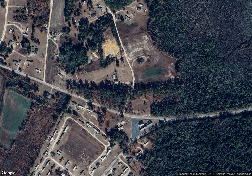
63 Carrie Ln Red Springs, NC 28377
Estimated Value: $129,000 - $182,000
3
Beds
1
Bath
1,222
Sq Ft
$128/Sq Ft
Est. Value
About This Home
This home is located at 63 Carrie Ln, Red Springs, NC 28377 and is currently estimated at $156,441, approximately $128 per square foot. 63 Carrie Ln is a home located in Robeson County with nearby schools including Union Chapel Elementary School, Parkton Elementary School, and Pembroke Middle School.
Ownership History
Date
Name
Owned For
Owner Type
Purchase Details
Closed on
Nov 20, 2020
Sold by
Bullard Harold and Bullard Sarah Ruth
Bought by
Bullard Harold and Bullard Sarah Ruth
Current Estimated Value
Purchase Details
Closed on
Oct 23, 2020
Sold by
Bullard Harold and Bullard Sarah Ruth
Bought by
Bullard Harold and Bullard Sarah Ruth
Purchase Details
Closed on
Sep 13, 2010
Sold by
Bullard Harold and Bullard Sarah Ruth
Bought by
Kerns Renee Bullard and Kerns Geno
Purchase Details
Closed on
May 11, 2010
Sold by
Bullard Harold and Bullard Sarah Ruth
Bought by
Bullard Harold and Bullard Sharon
Create a Home Valuation Report for This Property
The Home Valuation Report is an in-depth analysis detailing your home's value as well as a comparison with similar homes in the area
Home Values in the Area
Average Home Value in this Area
Purchase History
| Date | Buyer | Sale Price | Title Company |
|---|---|---|---|
| Bullard Harold | -- | None Available | |
| Bullard Harold | -- | None Available | |
| Kerns Renee Bullard | -- | -- | |
| Locklear Jennifer Bullard | -- | -- | |
| Bullard Harold | -- | -- |
Source: Public Records
Tax History Compared to Growth
Tax History
| Year | Tax Paid | Tax Assessment Tax Assessment Total Assessment is a certain percentage of the fair market value that is determined by local assessors to be the total taxable value of land and additions on the property. | Land | Improvement |
|---|---|---|---|---|
| 2025 | $982 | $94,700 | $17,000 | $77,700 |
| 2024 | $972 | $94,700 | $17,000 | $77,700 |
| 2023 | $727 | $67,600 | $14,700 | $52,900 |
| 2022 | $356 | $67,600 | $14,700 | $52,900 |
| 2021 | $356 | $67,600 | $14,700 | $52,900 |
| 2020 | $384 | $67,400 | $14,500 | $52,900 |
| 2018 | $392 | $49,500 | $10,000 | $39,500 |
| 2017 | $227 | $49,500 | $10,000 | $39,500 |
| 2016 | $227 | $49,500 | $10,000 | $39,500 |
| 2015 | $227 | $49,500 | $10,000 | $39,500 |
| 2014 | $227 | $47,900 | $10,400 | $37,500 |
Source: Public Records
Map
Nearby Homes
- 5166 Mount Tabor Rd
- 5033 Mount Tabor Rd
- 4948 Mount Tabor Rd
- 4829 Mount Tabor Rd
- 4833 Mount Tabor Rd
- 2301 Mcqueen Rd
- 2301 Mcqueen Rd
- 2301 Mcqueen Rd
- 174 Lewis McNeill Rd
- 2423 Mcqueen Rd
- 139 Lewis McNeill Rd
- 4692 Mount Tabor Rd
- 466 Columbus Cir
- 2408 Mcqueen Rd
- 4670 Mount Tabor Rd
- 225 Lewis McNeill Rd
- 135 Alphonzie Dr
- 4624 Mount Tabor Rd
- 2524 Mcqueen Rd
- 396 Lewis McNeill Rd
