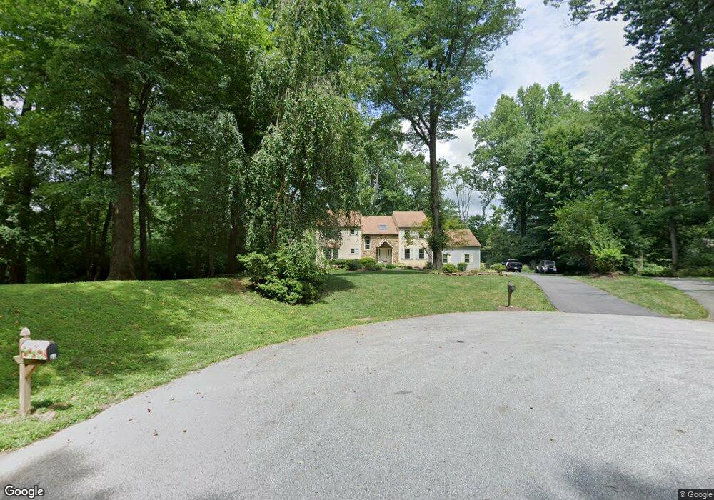
63 Carter Rd Thornton, PA 19373
Estimated Value: $757,000 - $860,000
4
Beds
3
Baths
2,747
Sq Ft
$302/Sq Ft
Est. Value
About This Home
This home is located at 63 Carter Rd, Thornton, PA 19373 and is currently estimated at $830,458, approximately $302 per square foot. 63 Carter Rd is a home located in Delaware County with nearby schools including Sarah W Starkweather Elementary School, Stetson Middle School, and Bayard Rustin High School.
Ownership History
Date
Name
Owned For
Owner Type
Purchase Details
Closed on
Jul 31, 2001
Sold by
Ley Thomas M and Ley Karen W
Bought by
Chizauskie Thomas M and Chizauskie Debora W
Current Estimated Value
Home Financials for this Owner
Home Financials are based on the most recent Mortgage that was taken out on this home.
Original Mortgage
$275,000
Outstanding Balance
$107,196
Interest Rate
7.14%
Mortgage Type
Purchase Money Mortgage
Estimated Equity
$723,262
Purchase Details
Closed on
Feb 4, 1995
Sold by
Abt John W and Abt Loretta D
Bought by
Ley Thomas M and Ley Karen W
Home Financials for this Owner
Home Financials are based on the most recent Mortgage that was taken out on this home.
Original Mortgage
$195,000
Interest Rate
8.78%
Mortgage Type
Purchase Money Mortgage
Create a Home Valuation Report for This Property
The Home Valuation Report is an in-depth analysis detailing your home's value as well as a comparison with similar homes in the area
Home Values in the Area
Average Home Value in this Area
Purchase History
| Date | Buyer | Sale Price | Title Company |
|---|---|---|---|
| Chizauskie Thomas M | $369,000 | Fidelity National Title Ins | |
| Ley Thomas M | $297,500 | Commonwealth Land Title Ins |
Source: Public Records
Mortgage History
| Date | Status | Borrower | Loan Amount |
|---|---|---|---|
| Open | Chizauskie Thomas M | $275,000 | |
| Previous Owner | Ley Thomas M | $195,000 | |
| Closed | Chizauskie Thomas M | $20,000 |
Source: Public Records
Tax History Compared to Growth
Tax History
| Year | Tax Paid | Tax Assessment Tax Assessment Total Assessment is a certain percentage of the fair market value that is determined by local assessors to be the total taxable value of land and additions on the property. | Land | Improvement |
|---|---|---|---|---|
| 2025 | $7,855 | $599,980 | $198,460 | $401,520 |
| 2024 | $7,855 | $599,980 | $198,460 | $401,520 |
| 2023 | $7,760 | $599,980 | $198,460 | $401,520 |
| 2022 | $7,509 | $599,980 | $198,460 | $401,520 |
| 2021 | $11,797 | $599,980 | $198,460 | $401,520 |
| 2020 | $6,509 | $299,690 | $78,650 | $221,040 |
| 2019 | $6,454 | $299,690 | $78,650 | $221,040 |
| 2018 | $6,236 | $299,690 | $0 | $0 |
| 2017 | $6,087 | $299,690 | $0 | $0 |
| 2016 | $1,645 | $299,690 | $0 | $0 |
| 2015 | $1,645 | $299,690 | $0 | $0 |
| 2014 | $1,645 | $299,690 | $0 | $0 |
Source: Public Records
Map
Nearby Homes
- 16 Fox Lair Ln
- 403 Brinton Lake Rd
- 36 Judith Ln
- 14 Stoneridge Rd
- 16 Creekview Cir
- 17 Judith Ln
- 12 Cherry Farm Ln
- 111 Mill Rd
- 56 Old Barn Dr
- 34 Oakland Rd Unit C2
- 186 Dilworthtown Rd
- 1384 Faucett Dr
- 0 Baltimore Pike
- 530 Woodhaven Rd
- 131 Dilworthtown Rd
- 101 Harvey Ln
- 101 Bellefair Ln
- 300 Greenbriar Dr
- 1707 Painters Crossing Unit 1707
- 111 Harvey Ln