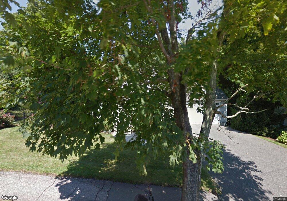
63 Clifton Rd Milton, MA 02186
Milton Center NeighborhoodEstimated Value: $1,493,000 - $1,976,000
4
Beds
4
Baths
4,088
Sq Ft
$417/Sq Ft
Est. Value
About This Home
This home is located at 63 Clifton Rd, Milton, MA 02186 and is currently estimated at $1,703,818, approximately $416 per square foot. 63 Clifton Rd is a home located in Norfolk County with nearby schools including Milton High School, St. Mary of the Hills School, and Milton Academy.
Ownership History
Date
Name
Owned For
Owner Type
Purchase Details
Closed on
Jul 27, 2011
Sold by
Feloney Peter J
Bought by
Porras Diego and Avalos Ingrid
Current Estimated Value
Home Financials for this Owner
Home Financials are based on the most recent Mortgage that was taken out on this home.
Original Mortgage
$703,200
Outstanding Balance
$485,751
Interest Rate
4.52%
Mortgage Type
Purchase Money Mortgage
Estimated Equity
$1,218,067
Purchase Details
Closed on
Aug 26, 1999
Sold by
Davison Rt
Bought by
Feloney Peter J
Home Financials for this Owner
Home Financials are based on the most recent Mortgage that was taken out on this home.
Original Mortgage
$25,500
Interest Rate
7.53%
Mortgage Type
Purchase Money Mortgage
Create a Home Valuation Report for This Property
The Home Valuation Report is an in-depth analysis detailing your home's value as well as a comparison with similar homes in the area
Home Values in the Area
Average Home Value in this Area
Purchase History
| Date | Buyer | Sale Price | Title Company |
|---|---|---|---|
| Porras Diego | $879,000 | -- | |
| Feloney Peter J | $255,000 | -- |
Source: Public Records
Mortgage History
| Date | Status | Borrower | Loan Amount |
|---|---|---|---|
| Open | Porras Diego | $703,200 | |
| Closed | Feloney Peter J | $100,000 | |
| Previous Owner | Feloney Peter J | $222,000 | |
| Previous Owner | Feloney Peter J | $25,500 | |
| Closed | Feloney Peter J | $204,000 |
Source: Public Records
Tax History
| Year | Tax Paid | Tax Assessment Tax Assessment Total Assessment is a certain percentage of the fair market value that is determined by local assessors to be the total taxable value of land and additions on the property. | Land | Improvement |
|---|---|---|---|---|
| 2025 | $13,725 | $1,237,600 | $530,200 | $707,400 |
| 2024 | $13,237 | $1,212,200 | $504,800 | $707,400 |
| 2023 | $12,818 | $1,124,400 | $480,900 | $643,500 |
| 2022 | $12,238 | $981,400 | $480,900 | $500,500 |
| 2021 | $11,973 | $911,900 | $435,200 | $476,700 |
| 2020 | $12,044 | $918,000 | $427,000 | $491,000 |
| 2019 | $11,504 | $872,800 | $414,600 | $458,200 |
| 2018 | $11,813 | $855,400 | $396,700 | $458,700 |
| 2017 | $11,058 | $815,500 | $377,800 | $437,700 |
| 2016 | $11,310 | $837,800 | $409,300 | $428,500 |
| 2015 | $11,718 | $840,600 | $352,600 | $488,000 |
Source: Public Records
Map
Nearby Homes
- 50 Marine Rd
- 403405 Reedsdale Rd
- 111-113 Pleasant St
- 104 Gulliver St
- 3 Horton Place
- 424 Brook Rd
- 4 Farmer Rd
- 7 Preacher Rd
- 7 Parkway Crescent
- 485 Blue Hills Pkwy Unit 10
- 485 Blue Hills Pkwy Unit 12
- 485 Blue Hills Pkwy Unit 33
- 485 Blue Hills Pkwy Unit 13
- 485 Blue Hills Pkwy Unit 2
- 485 Blue Hills Pkwy Unit 20
- 485 Blue Hills Pkwy Unit 49
- 485 Blue Hills Pkwy Unit 6
- 137 Thacher St Unit 137
- 6 Brewster Rd
- 96 Houston Ave
Your Personal Tour Guide
Ask me questions while you tour the home.