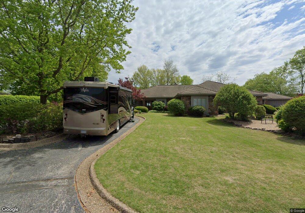
63 Dogwood Dr Bella Vista, AR 72715
Estimated Value: $480,000 - $621,000
3
Beds
3
Baths
3,042
Sq Ft
$174/Sq Ft
Est. Value
About This Home
This home is located at 63 Dogwood Dr, Bella Vista, AR 72715 and is currently estimated at $528,430, approximately $173 per square foot. 63 Dogwood Dr is a home located in Benton County with nearby schools including Cooper Elementary School, Old High Middle School, and Washington Junior High School.
Ownership History
Date
Name
Owned For
Owner Type
Purchase Details
Closed on
Apr 19, 2006
Sold by
Austin Trilla Mae
Bought by
Richards Thomas E and Richards Debra L
Current Estimated Value
Home Financials for this Owner
Home Financials are based on the most recent Mortgage that was taken out on this home.
Original Mortgage
$191,200
Interest Rate
6.32%
Mortgage Type
Purchase Money Mortgage
Purchase Details
Closed on
Nov 12, 1999
Bought by
Austin Tr
Purchase Details
Closed on
Jul 28, 1986
Bought by
Austin
Create a Home Valuation Report for This Property
The Home Valuation Report is an in-depth analysis detailing your home's value as well as a comparison with similar homes in the area
Home Values in the Area
Average Home Value in this Area
Purchase History
| Date | Buyer | Sale Price | Title Company |
|---|---|---|---|
| Richards Thomas E | $239,000 | None Available | |
| Austin Tr | -- | -- | |
| Austin Trust | -- | -- | |
| Austin | $208,000 | -- |
Source: Public Records
Mortgage History
| Date | Status | Borrower | Loan Amount |
|---|---|---|---|
| Closed | Richards Thomas E | $191,200 |
Source: Public Records
Tax History Compared to Growth
Tax History
| Year | Tax Paid | Tax Assessment Tax Assessment Total Assessment is a certain percentage of the fair market value that is determined by local assessors to be the total taxable value of land and additions on the property. | Land | Improvement |
|---|---|---|---|---|
| 2025 | $4,175 | $84,650 | $13,000 | $71,650 |
| 2024 | $4,132 | $84,650 | $13,000 | $71,650 |
| 2023 | $4,132 | $67,410 | $10,000 | $57,410 |
| 2022 | $3,855 | $67,410 | $10,000 | $57,410 |
| 2021 | $3,654 | $67,410 | $10,000 | $57,410 |
| 2020 | $3,497 | $60,780 | $10,000 | $50,780 |
| 2019 | $3,497 | $60,780 | $10,000 | $50,780 |
| 2018 | $3,522 | $60,780 | $10,000 | $50,780 |
| 2017 | $3,207 | $60,780 | $10,000 | $50,780 |
| 2016 | $3,207 | $60,780 | $10,000 | $50,780 |
| 2015 | $3,332 | $55,260 | $10,000 | $45,260 |
| 2014 | $2,982 | $55,260 | $10,000 | $45,260 |
Source: Public Records
Map
Nearby Homes
- 26 Norwood Dr
- 26 Annette Ln
- 20 Annette Ln
- 5 Mellor Ln
- TBD Coverack Ln
- 11 Mellor Ln
- 16 Coverack Ln
- 19 Mellor Ln
- 35 Dogwood Dr
- 76 Overton Dr
- Undisclosed Nantucket Dr
- 15 Nantucket Dr
- 43 Britten Cir
- 19 Nantucket Dr
- 4 Nantucket Dr
- 0 Overton Dr
- 45 Penzance Dr
- 14 Britten Cir
- 0 Kirkwall and Copinsay Unit 1322488
- 35 Fleetwood Dr