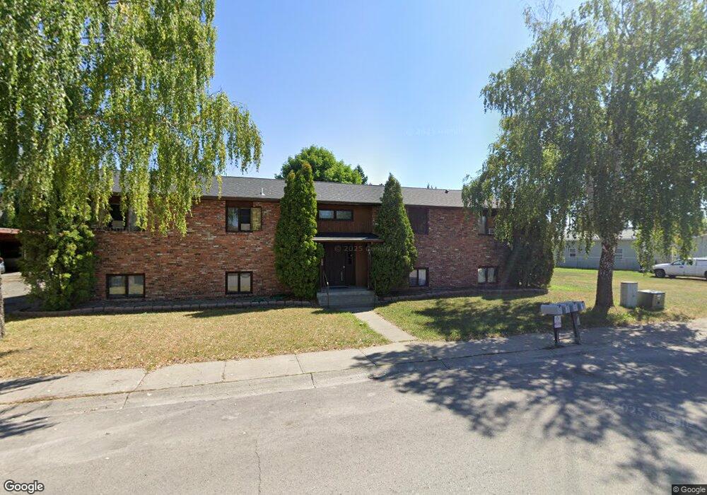
63 Hawthorn Ave Kalispell, MT 59901
Estimated Value: $774,000 - $1,025,000
8
Beds
--
Bath
3,823
Sq Ft
$240/Sq Ft
Est. Value
About This Home
This home is located at 63 Hawthorn Ave, Kalispell, MT 59901 and is currently estimated at $917,000, approximately $239 per square foot. 63 Hawthorn Ave is a home located in Flathead County with nearby schools including Russell School, Kalispell Middle School, and Glacier High School.
Ownership History
Date
Name
Owned For
Owner Type
Purchase Details
Closed on
Jun 17, 2013
Sold by
Hudzinski Michael P
Bought by
Fleming Rodney E
Current Estimated Value
Purchase Details
Closed on
Jan 31, 2006
Sold by
Parsons Gordon E
Bought by
Hudzinski Michael P
Home Financials for this Owner
Home Financials are based on the most recent Mortgage that was taken out on this home.
Original Mortgage
$236,800
Interest Rate
6.21%
Mortgage Type
New Conventional
Create a Home Valuation Report for This Property
The Home Valuation Report is an in-depth analysis detailing your home's value as well as a comparison with similar homes in the area
Purchase History
| Date | Buyer | Sale Price | Title Company |
|---|---|---|---|
| Fleming Rodney E | -- | First American Title Company | |
| Hudzinski Michael P | -- | Citizens Title And Escrow Co |
Source: Public Records
Mortgage History
| Date | Status | Borrower | Loan Amount |
|---|---|---|---|
| Previous Owner | Hudzinski Michael P | $236,800 |
Source: Public Records
Tax History
| Year | Tax Paid | Tax Assessment Tax Assessment Total Assessment is a certain percentage of the fair market value that is determined by local assessors to be the total taxable value of land and additions on the property. | Land | Improvement |
|---|---|---|---|---|
| 2025 | $3,819 | $670,800 | $0 | $0 |
| 2024 | $6,094 | $782,500 | $0 | $0 |
| 2023 | $7,299 | $782,500 | $0 | $0 |
| 2022 | $4,529 | $450,900 | $0 | $0 |
| 2021 | $4,852 | $450,900 | $0 | $0 |
| 2020 | $5,289 | $379,400 | $0 | $0 |
| 2019 | $5,297 | $379,400 | $0 | $0 |
| 2018 | $5,120 | $348,000 | $0 | $0 |
| 2017 | $5,133 | $348,000 | $0 | $0 |
| 2016 | $4,654 | $339,000 | $0 | $0 |
| 2015 | $4,654 | $339,000 | $0 | $0 |
| 2014 | $3,713 | $150,308 | $0 | $0 |
Source: Public Records
Map
Nearby Homes
- 71 Hawthorn Ave
- 114 Lambert Ct
- 195 Two Mile Dr
- 19 Glacier St
- 97 Hawthorn W
- 221 Hawthorn Ave
- 163 Greenbriar Dr
- 786 5th Avenue West N
- 106 Northern Lights Blvd
- 875 & 871 2 Mile Dr
- 417 W Arizona St
- 252 Three Mile Dr
- 28 Vista Loop
- 503 W Oregon St
- 111 Westview Park Place
- 120 Garland St
- 249 Three Mile Dr
- 17 Empire Loop
- 36 9th Ave W
- 803 2 Mile Dr
- 127 Sunburst Ct
- 125 Sunburst Ct
- 128 Lambert Ct
- 123 Sunburst Ct
- 130 Sunburst Ct
- 55 Hawthorn Ave
- 126 Lambert Ct
- 66 Hawthorn Ave
- 124 Lambert Ct
- 121 Sunburst Ct
- 122 Lambert Ct
- 132 Sunburst Ct
- 79 Hawthorn Ave
- 12 Teton St
- 120 Lambert Ct
- 51 Hawthorn Ave
- 119 Sunburst Ct
- 2 Yellowstone St
- 129 Lambert Ct
- 127 Lambert Ct
Your Personal Tour Guide
Ask me questions while you tour the home.