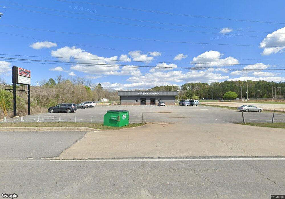
63 Highway 95 Rock Spring, GA 30739
Rock Spring Neighborhood
--
Bed
--
Bath
5,600
Sq Ft
1.84
Acres
About This Home
This home is located at 63 Highway 95, Rock Spring, GA 30739. 63 Highway 95 is a home located in Walker County with nearby schools including Rock Spring Elementary School, Lafayette High School, and Alice M Daley Adventist School.
Ownership History
Date
Name
Owned For
Owner Type
Purchase Details
Closed on
Aug 10, 1995
Sold by
Potts Richard S and Jeff Potts
Bought by
Debord Timothy L
Purchase Details
Closed on
May 3, 1994
Sold by
Shields R J Estate
Bought by
Potts Richard S and Jeff Potts
Purchase Details
Closed on
Jan 1, 1972
Bought by
Shields R J Estate
Create a Home Valuation Report for This Property
The Home Valuation Report is an in-depth analysis detailing your home's value as well as a comparison with similar homes in the area
Home Values in the Area
Average Home Value in this Area
Purchase History
| Date | Buyer | Sale Price | Title Company |
|---|---|---|---|
| Debord Timothy L | $30,000 | -- | |
| Potts Richard S | $12,000 | -- | |
| Shields R J Estate | -- | -- |
Source: Public Records
Tax History Compared to Growth
Tax History
| Year | Tax Paid | Tax Assessment Tax Assessment Total Assessment is a certain percentage of the fair market value that is determined by local assessors to be the total taxable value of land and additions on the property. | Land | Improvement |
|---|---|---|---|---|
| 2024 | $4,234 | $169,872 | $68,738 | $101,134 |
| 2023 | $4,005 | $155,454 | $52,699 | $102,755 |
| 2022 | $3,712 | $135,682 | $52,699 | $82,983 |
| 2021 | $4,041 | $135,364 | $52,699 | $82,665 |
| 2020 | $4,648 | $153,170 | $52,699 | $100,471 |
| 2019 | $4,730 | $153,170 | $52,699 | $100,471 |
| 2018 | $8,780 | $331,803 | $196,543 | $135,260 |
| 2017 | $5,849 | $176,620 | $41,360 | $135,260 |
| 2016 | $4,522 | $176,620 | $41,360 | $135,260 |
| 2015 | $3,119 | $112,066 | $37,998 | $74,068 |
| 2014 | $2,927 | $112,066 | $37,998 | $74,068 |
| 2013 | -- | $112,066 | $37,998 | $74,068 |
Source: Public Records
Map
Nearby Homes
- 1902 Long Hollow Rd
- 1370 Old Highway 27
- 1003 Highway N Old 27
- 5602 Georgia 95
- 00 Georgia 95
- 701 Bicentennial Trail
- 10180 Us Highway 27
- 195 Honeysuckle Dr
- 59 Honeysuckle Dr
- 954 Goodson Cir
- 1476 Arnold Rd
- 36 Pheonix Cir
- 15 Willow Cir
- 23 Willow Cir
- 1121 Arnold Rd
- 16 Willow Cir
- 11 Willow Cir
- The Pearson Plan at Laurel Ridge
- The Benson II Plan at Laurel Ridge
- The Langford Plan at Laurel Ridge
- 63 Georgia 95
- 8040 Ga-95
- 120 Highway 95
- 0 Ga Hwy 95 Unit 1349260
- 0 Highway 95
- 60 Highway 95
- 30 Highway 95
- 125 Pruett Ln
- 1 Highway 95
- 954 Old Highway 27
- 305 Highway 95
- 206 Crest Dr
- 176 Crest Dr
- 130 Crest Dr
- 773 Old Highway 27
- 100 Crest Dr
- 163 Crest Dr
- 761 Old Highway 27
- 139 Crest Dr
- 823 Old Highway 27