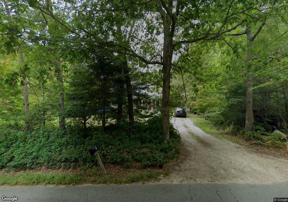
63 John Dyer Rd Little Compton, RI 02837
Estimated Value: $856,785 - $1,102,000
4
Beds
3
Baths
2,121
Sq Ft
$463/Sq Ft
Est. Value
About This Home
This home is located at 63 John Dyer Rd, Little Compton, RI 02837 and is currently estimated at $981,196, approximately $462 per square foot. 63 John Dyer Rd is a home located in Newport County with nearby schools including Wilbur & McMahon School.
Ownership History
Date
Name
Owned For
Owner Type
Purchase Details
Closed on
Mar 31, 2021
Sold by
Melanson Peter
Bought by
Melanson Judith A
Current Estimated Value
Purchase Details
Closed on
Oct 3, 1994
Sold by
Stone Clifton A and Stone Virginia
Bought by
Melanson Peter and Melanson Judith
Create a Home Valuation Report for This Property
The Home Valuation Report is an in-depth analysis detailing your home's value as well as a comparison with similar homes in the area
Home Values in the Area
Average Home Value in this Area
Purchase History
| Date | Buyer | Sale Price | Title Company |
|---|---|---|---|
| Melanson Judith A | -- | None Available | |
| Melanson Peter | $161,000 | -- |
Source: Public Records
Mortgage History
| Date | Status | Borrower | Loan Amount |
|---|---|---|---|
| Previous Owner | Melanson Peter | $188,000 | |
| Previous Owner | Melanson Peter | $60,000 | |
| Previous Owner | Melanson Peter | $222,000 |
Source: Public Records
Tax History
| Year | Tax Paid | Tax Assessment Tax Assessment Total Assessment is a certain percentage of the fair market value that is determined by local assessors to be the total taxable value of land and additions on the property. | Land | Improvement |
|---|---|---|---|---|
| 2025 | $3,317 | $692,400 | $294,400 | $398,000 |
| 2024 | $3,215 | $632,900 | $197,800 | $435,100 |
| 2023 | $3,139 | $632,900 | $197,800 | $435,100 |
| 2022 | $3,101 | $632,900 | $197,800 | $435,100 |
| 2021 | $2,773 | $459,100 | $173,400 | $285,700 |
| 2020 | $2,724 | $454,700 | $173,400 | $281,300 |
| 2019 | $2,548 | $429,700 | $173,400 | $256,300 |
| 2018 | $2,422 | $406,400 | $173,400 | $233,000 |
| 2016 | $2,304 | $406,400 | $173,400 | $233,000 |
| 2015 | $2,297 | $399,500 | $158,500 | $241,000 |
| 2014 | $2,253 | $399,500 | $158,500 | $241,000 |
Source: Public Records
Map
Nearby Homes
- 245 John Dyer Rd
- 116 Amy Hart Path
- 25 Quail Trail
- 17 Quail Trail
- 140 Long Hwy
- 140I Long Hwy
- 90 Two Rod Rd
- 502 Southlake Rd
- 184 Field Stone Ln
- 255 John Dyer Rd
- 505 Long Hwy
- 127 Preservation Way
- 164 Stoney Hollow Rd
- 1282 East Rd
- 1 Puddingstone Cir
- 0 Willow Ave
- 141 Peckham Rd
- 101 Adamsville Rd
- 4 Pequaw-Honk Dr
- 839 Main Rd
- 67 John Dyer Rd
- 59 John Dyer Rd
- 60 John Dyer Rd
- 68 John Dyer Rd
- 104 John Dyer Rd
- 73 John Dyer Rd
- 51 John Dyer Rd
- 4 W Branch Rd
- 79 John Dyer Rd
- 9 W Branch Rd
- 70 John Dyer Rd
- 8 W Branch Rd
- 43 John Dyer Rd
- 12 W Branch Rd
- 15 W Branch Rd
- 40 John Dyer Rd
- 88 John Dyer Rd
- 33 Big Drum Rd
- 35 John Dyer Rd
- 41 Big Drum Rd
Your Personal Tour Guide
Ask me questions while you tour the home.