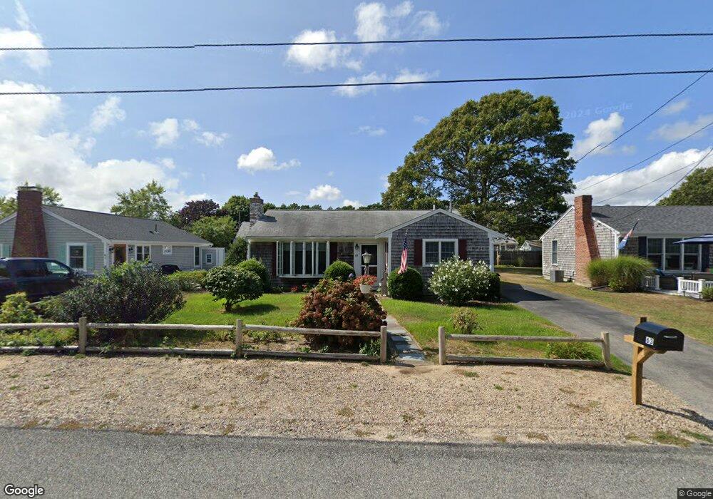
63 Lawrence Rd Dennis Port, MA 02639
Dennis Port NeighborhoodEstimated Value: $545,000 - $673,000
2
Beds
2
Baths
1,074
Sq Ft
$554/Sq Ft
Est. Value
About This Home
This home is located at 63 Lawrence Rd, Dennis Port, MA 02639 and is currently estimated at $595,241, approximately $554 per square foot. 63 Lawrence Rd is a home located in Barnstable County with nearby schools including Dennis-Yarmouth Regional High School and St. Pius X. School.
Ownership History
Date
Name
Owned For
Owner Type
Purchase Details
Closed on
Nov 7, 2014
Sold by
Considine David W and Considine Veronica J
Bought by
Considene Rt and Considine
Current Estimated Value
Purchase Details
Closed on
Jul 24, 1992
Sold by
Holden Mary H
Bought by
Considine David W and Considine Veronica
Create a Home Valuation Report for This Property
The Home Valuation Report is an in-depth analysis detailing your home's value as well as a comparison with similar homes in the area
Home Values in the Area
Average Home Value in this Area
Purchase History
| Date | Buyer | Sale Price | Title Company |
|---|---|---|---|
| Considene Rt | -- | -- | |
| Considine David W | $94,000 | -- | |
| Considene Rt | -- | -- | |
| Considine David W | $94,000 | -- |
Source: Public Records
Tax History Compared to Growth
Tax History
| Year | Tax Paid | Tax Assessment Tax Assessment Total Assessment is a certain percentage of the fair market value that is determined by local assessors to be the total taxable value of land and additions on the property. | Land | Improvement |
|---|---|---|---|---|
| 2025 | $2,323 | $536,600 | $195,300 | $341,300 |
| 2024 | $2,206 | $502,600 | $187,800 | $314,800 |
| 2023 | $2,134 | $457,000 | $170,700 | $286,300 |
| 2022 | $2,068 | $369,200 | $153,800 | $215,400 |
| 2021 | $2,113 | $350,400 | $172,300 | $178,100 |
| 2020 | $1,906 | $312,400 | $150,800 | $161,600 |
| 2019 | $1,879 | $304,600 | $147,800 | $156,800 |
| 2018 | $1,806 | $284,800 | $140,700 | $144,100 |
| 2017 | $1,661 | $270,100 | $130,700 | $139,400 |
| 2016 | $1,695 | $259,500 | $140,700 | $118,800 |
| 2015 | $1,661 | $259,500 | $140,700 | $118,800 |
| 2014 | $1,520 | $239,400 | $120,600 | $118,800 |
Source: Public Records
Map
Nearby Homes
- 80 Michaels Ave
- 37 Ocean Dr Unit 2
- 31 Easy St
- 19 Standish Way
- 64 Beaten Rd
- 22 Wixon Rd
- 112 Old Wharf Rd Unit E4
- 112 Old Wharf Rd Unit E1
- 12 Spoonbill Rd
- 61 Trotters Ln
- 4 Coffey Ln
- 71 Main St
- 154 Old Wharf Rd Unit 26
- 154 Old Wharf Rd Unit 14
- 120 Old Wharf Rd Unit 11
- 15 Woodside Park Rd
- 125 Main St Unit 3
- 72 Bassett Ln
- 217 Old Wharf Rd Unit 64
- 262 Old Wharf Rd Unit 67
- 61 Lawrence Rd
- 67 Lawrence Rd
- 106 Michaels Ave
- 102 Michaels Ave
- 57 Lawrence Rd
- 69 Lawrence Rd
- 62 Lawrence Rd
- 110 Michaels Ave
- 98 Michaels Ave
- 73 Lawrence Rd
- 55 Lawrence Rd
- 70 Lawrence Rd
- 54 Lawrence Rd
- 114 Michaels Ave
- 52 Lawrence Rd
- 75 Lawrence Rd
- 107 Michaels Ave
- 94 Michaels Ave
- 51 Lawrence Rd
- 103 Michaels Ave