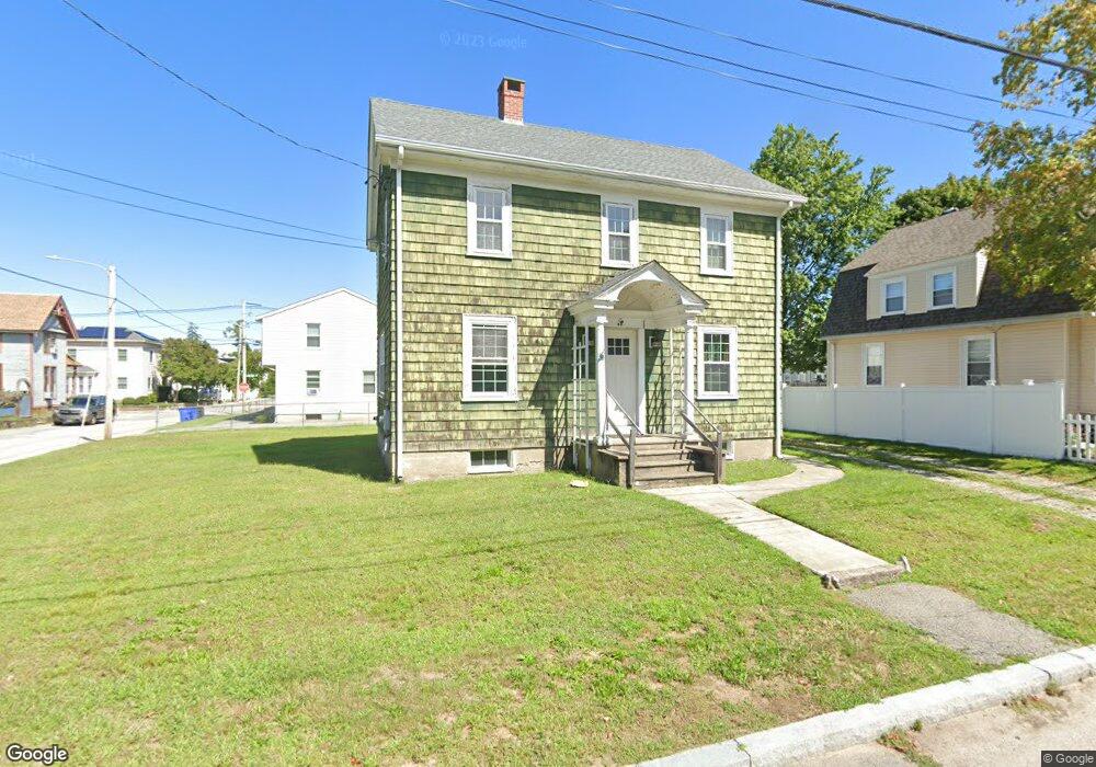
63 Maple Ave Riverside, RI 02915
Riverside NeighborhoodEstimated Value: $406,000 - $448,000
4
Beds
1
Bath
1,440
Sq Ft
$291/Sq Ft
Est. Value
About This Home
This home is located at 63 Maple Ave, Riverside, RI 02915 and is currently estimated at $418,571, approximately $290 per square foot. 63 Maple Ave is a home located in Providence County with nearby schools including East Providence High School, St Mary Academy-Bay View, and The Gordon School.
Ownership History
Date
Name
Owned For
Owner Type
Purchase Details
Closed on
Sep 11, 2009
Sold by
Thurber Carol A
Bought by
Borges Michael M
Current Estimated Value
Home Financials for this Owner
Home Financials are based on the most recent Mortgage that was taken out on this home.
Original Mortgage
$108,000
Outstanding Balance
$70,953
Interest Rate
5.36%
Mortgage Type
Purchase Money Mortgage
Estimated Equity
$347,618
Create a Home Valuation Report for This Property
The Home Valuation Report is an in-depth analysis detailing your home's value as well as a comparison with similar homes in the area
Home Values in the Area
Average Home Value in this Area
Purchase History
| Date | Buyer | Sale Price | Title Company |
|---|---|---|---|
| Borges Michael M | $135,000 | -- | |
| Borges Michael M | $135,000 | -- |
Source: Public Records
Mortgage History
| Date | Status | Borrower | Loan Amount |
|---|---|---|---|
| Open | Borges Michael M | $108,000 | |
| Closed | Borges Michael M | $108,000 |
Source: Public Records
Tax History
| Year | Tax Paid | Tax Assessment Tax Assessment Total Assessment is a certain percentage of the fair market value that is determined by local assessors to be the total taxable value of land and additions on the property. | Land | Improvement |
|---|---|---|---|---|
| 2025 | $4,646 | $355,500 | $98,200 | $257,300 |
| 2024 | $4,427 | $288,800 | $81,900 | $206,900 |
| 2023 | $4,263 | $288,800 | $81,900 | $206,900 |
| 2022 | $4,245 | $194,200 | $53,300 | $140,900 |
| 2021 | $4,175 | $194,200 | $53,300 | $140,900 |
| 2020 | $3,999 | $194,200 | $53,300 | $140,900 |
| 2019 | $3,888 | $194,200 | $53,300 | $140,900 |
| 2018 | $3,885 | $169,800 | $53,500 | $116,300 |
| 2017 | $3,798 | $169,800 | $53,500 | $116,300 |
| 2016 | $3,780 | $169,800 | $53,500 | $116,300 |
| 2015 | $3,968 | $172,900 | $54,500 | $118,400 |
| 2014 | $3,968 | $172,900 | $54,500 | $118,400 |
Source: Public Records
Map
Nearby Homes
- 33 Pine St Unit 35
- 28 Jefferson Ave
- 129 Shore Rd
- 72 Stowe Ave
- 103 Burnside Ave
- 99 Allen Ave
- 25 Arnold St
- 123 Providence Ave
- 151 Willett Ave Unit 2
- 43 Bullocks Point Ave Unit 4A
- 33 Bullocks Point Ave Unit 5C
- 25 Bullocks Point Ave Unit 5C
- 41 White Ave
- 6 Fuller Ave
- 25 Winslow St
- 14 Benedict St
- 10 Booth Ave
- 15 Claire St
- 0 Carousel Dr
- 85 Hilton Ave
Your Personal Tour Guide
Ask me questions while you tour the home.