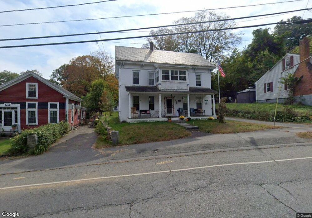
63 Maple St Warren, MA 01083
Estimated Value: $262,000 - $356,000
4
Beds
2
Baths
1,872
Sq Ft
$159/Sq Ft
Est. Value
About This Home
This home is located at 63 Maple St, Warren, MA 01083 and is currently estimated at $298,423, approximately $159 per square foot. 63 Maple St is a home with nearby schools including Quaboag Regional High School.
Ownership History
Date
Name
Owned For
Owner Type
Purchase Details
Closed on
Jun 26, 2023
Sold by
Hamill Shirley M Est and Simmons
Bought by
Simmons Britni M
Current Estimated Value
Home Financials for this Owner
Home Financials are based on the most recent Mortgage that was taken out on this home.
Original Mortgage
$150,000
Outstanding Balance
$145,581
Interest Rate
5.63%
Mortgage Type
Purchase Money Mortgage
Estimated Equity
$152,842
Create a Home Valuation Report for This Property
The Home Valuation Report is an in-depth analysis detailing your home's value as well as a comparison with similar homes in the area
Home Values in the Area
Average Home Value in this Area
Purchase History
| Date | Buyer | Sale Price | Title Company |
|---|---|---|---|
| Simmons Britni M | $185,000 | None Available |
Source: Public Records
Mortgage History
| Date | Status | Borrower | Loan Amount |
|---|---|---|---|
| Open | Simmons Britni M | $150,000 |
Source: Public Records
Tax History Compared to Growth
Tax History
| Year | Tax Paid | Tax Assessment Tax Assessment Total Assessment is a certain percentage of the fair market value that is determined by local assessors to be the total taxable value of land and additions on the property. | Land | Improvement |
|---|---|---|---|---|
| 2025 | $3,288 | $222,000 | $47,100 | $174,900 |
| 2024 | $3,346 | $222,000 | $47,100 | $174,900 |
| 2023 | $3,272 | $207,100 | $47,100 | $160,000 |
| 2022 | $2,885 | $185,400 | $38,700 | $146,700 |
| 2021 | $5,792 | $176,700 | $36,600 | $140,100 |
| 2020 | $2,776 | $161,800 | $36,600 | $125,200 |
| 2019 | $2,781 | $153,200 | $36,600 | $116,600 |
| 2018 | $2,433 | $140,500 | $36,600 | $103,900 |
| 2017 | $2,517 | $135,600 | $38,000 | $97,600 |
| 2016 | $2,573 | $129,700 | $36,300 | $93,400 |
| 2015 | $2,318 | $123,600 | $36,300 | $87,300 |
| 2014 | $2,424 | $126,900 | $36,300 | $90,600 |
Source: Public Records
Map
Nearby Homes
- 72 Maple St
- 82 Comins Pond Rd
- Lot 4 Brimfield Rd
- 58 Nelson St
- 59 High St
- Lot 8 Southbridge Rd
- LOT 7 Southbridge Rd
- 35 Bacon St
- 124 Southbridge Rd
- 152 Southbridge Rd Unit 3D
- 29 Liberty St
- 170 Bridge St
- 17 Otis St
- 366 Southbridge Rd
- Lot 5 Brimfield Rd
- Lot 3 Brimfield Rd
- Lot 4 Reed St
- Lot 7 Reed St
- 0 Town Farm Rd
- Lot 2 Brimfield Rd
- 55 Maple St
- 69 Maple St
- 69 Maple St
- 10 Washburn Ave
- 10 Washburn Ave
- 51 Maple St Unit C
- 51 Maple St
- 73 Maple St
- 22 Washburn Ave
- 45 Maple St
- 11 Washburn Ave
- 50 Maple St
- 81 Maple St
- 15 Hitchcock Ave
- 13 Washburn Ave
- 41 Maple St
- 6,7,8&9 Lots Cronin Rd
- 0 Lot 8 Devils Ln Unit 70503863
- 7 Hitchcock Ave
- 100 Maple St