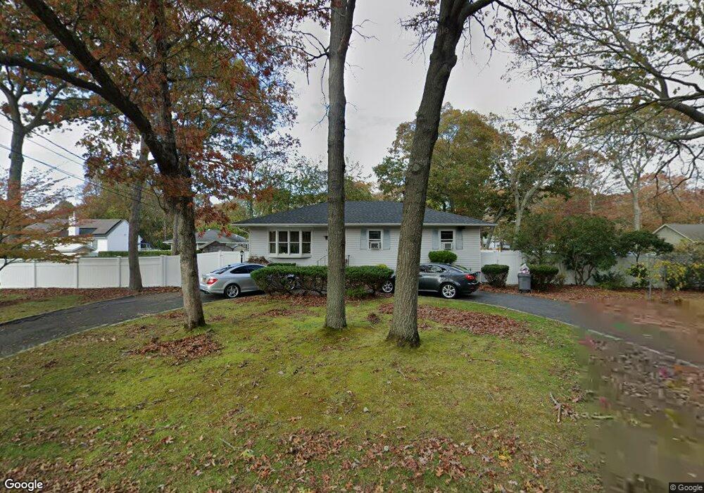
63 Mastic Blvd Mastic, NY 11950
Estimated Value: $508,756 - $550,000
3
Beds
1
Bath
1,452
Sq Ft
$368/Sq Ft
Est. Value
About This Home
This home is located at 63 Mastic Blvd, Mastic, NY 11950 and is currently estimated at $533,689, approximately $367 per square foot. 63 Mastic Blvd is a home located in Suffolk County with nearby schools including Moriches Elementary School, William Floyd Middle School, and William Floyd High School.
Ownership History
Date
Name
Owned For
Owner Type
Purchase Details
Closed on
Aug 25, 2005
Sold by
Gustavson Teno A
Bought by
Toro Fabiola
Current Estimated Value
Purchase Details
Closed on
Jan 28, 2000
Sold by
Graziano John R and Graziano Michele E
Bought by
Gustavson Teno A
Home Financials for this Owner
Home Financials are based on the most recent Mortgage that was taken out on this home.
Original Mortgage
$110,200
Interest Rate
8.11%
Create a Home Valuation Report for This Property
The Home Valuation Report is an in-depth analysis detailing your home's value as well as a comparison with similar homes in the area
Home Values in the Area
Average Home Value in this Area
Purchase History
| Date | Buyer | Sale Price | Title Company |
|---|---|---|---|
| Toro Fabiola | $339,000 | Victor Campos | |
| Gustavson Teno A | $116,000 | -- |
Source: Public Records
Mortgage History
| Date | Status | Borrower | Loan Amount |
|---|---|---|---|
| Previous Owner | Gustavson Teno A | $110,200 |
Source: Public Records
Tax History
| Year | Tax Paid | Tax Assessment Tax Assessment Total Assessment is a certain percentage of the fair market value that is determined by local assessors to be the total taxable value of land and additions on the property. | Land | Improvement |
|---|---|---|---|---|
| 2024 | $7,383 | $2,050 | $200 | $1,850 |
| 2023 | $7,383 | $2,050 | $200 | $1,850 |
| 2022 | $7,855 | $2,050 | $200 | $1,850 |
| 2021 | $7,855 | $2,050 | $200 | $1,850 |
| 2020 | $8,061 | $2,050 | $200 | $1,850 |
| 2019 | $8,061 | $0 | $0 | $0 |
| 2018 | $7,717 | $2,050 | $200 | $1,850 |
| 2017 | $7,717 | $2,050 | $200 | $1,850 |
| 2016 | $7,744 | $2,050 | $200 | $1,850 |
| 2015 | -- | $2,050 | $200 | $1,850 |
| 2014 | -- | $2,050 | $200 | $1,850 |
Source: Public Records
Map
Nearby Homes
- 66 Wood Ave
- 29 Bedford Ave
- 0 Bedford Ave Unit KEYL3488158
- 19 Hawthorne St
- 1287 Montauk Hwy
- 176 Bedford Ave
- 1397 Montauk Hwy
- 118 Moriches Ave
- 111 A Wood Ave
- 0 Carlton Ave Unit KEY853013
- 25 Gores Dr
- 1467 Montauk Hwy
- 45O Oakland Ave
- 8 George Dr
- N/C First Place
- 120 Somerset Ave
- 155 Patchogue Ave
- 3 Lee Place
- 30 George Dr
- 139 Madison St