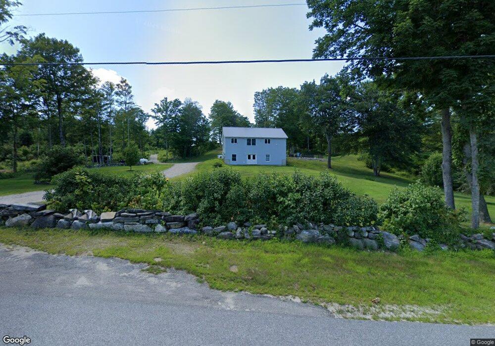
63 Merrill Hill Rd Hebron, ME 04238
Estimated Value: $304,127 - $341,000
Studio
--
Bath
1,120
Sq Ft
$292/Sq Ft
Est. Value
About This Home
This home is located at 63 Merrill Hill Rd, Hebron, ME 04238 and is currently estimated at $327,042, approximately $292 per square foot. 63 Merrill Hill Rd is a home with nearby schools including Hebron Station School, Oxford Hills Middle School, and Oxford Hills Comprehensive High School.
Ownership History
Date
Name
Owned For
Owner Type
Purchase Details
Closed on
May 6, 2025
Sold by
Trundy Aaron C
Bought by
All Terrain Prop Llc
Current Estimated Value
Purchase Details
Closed on
May 10, 2023
Sold by
Berry Scott A Est and Wilson
Bought by
All Terrain Prop Llc
Create a Home Valuation Report for This Property
The Home Valuation Report is an in-depth analysis detailing your home's value as well as a comparison with similar homes in the area
Home Values in the Area
Average Home Value in this Area
Purchase History
| Date | Buyer | Sale Price | Title Company |
|---|---|---|---|
| All Terrain Prop Llc | -- | None Available | |
| All Terrain Prop Llc | -- | None Available | |
| All Terrain Prop Llc | -- | None Available | |
| All Terrain Prop Llc | -- | None Available |
Source: Public Records
Tax History
| Year | Tax Paid | Tax Assessment Tax Assessment Total Assessment is a certain percentage of the fair market value that is determined by local assessors to be the total taxable value of land and additions on the property. | Land | Improvement |
|---|---|---|---|---|
| 2025 | $3,073 | $280,633 | $75,500 | $205,133 |
| 2024 | $3,073 | $280,633 | $75,500 | $205,133 |
| 2023 | $2,848 | $280,633 | $75,500 | $205,133 |
| 2022 | $2,269 | $155,435 | $50,000 | $105,435 |
| 2021 | $2,262 | $155,435 | $50,000 | $105,435 |
| 2020 | $2,339 | $155,435 | $50,000 | $105,435 |
| 2019 | $2,425 | $155,435 | $50,000 | $105,435 |
| 2018 | $2,425 | $155,435 | $50,000 | $105,435 |
| 2017 | $0 | $155,435 | $50,000 | $105,435 |
| 2016 | -- | $155,435 | $50,000 | $105,435 |
| 2015 | -- | $155,435 | $50,000 | $105,435 |
| 2013 | $1,974 | $155,435 | $50,000 | $105,435 |
Source: Public Records
Map
Nearby Homes
- 362 Hebron Rd
- 234 Buckfield Rd
- 22 N Town Farm Rd
- 84 Noble Rd
- 102 Noble Rd
- Lot 21B Station Rd
- Lot 1 Dunham Ln
- 11 Scenic Heights Dr
- 12 Scenic Heights Dr
- 10 Scenic Heights Dr
- 14 Scenic Heights Dr
- 13 Scenic Heights Dr
- 15 Scenic Heights Dr
- 101 Goodrich Rd
- 31 Sodom Rd
- 173 Halls Pond Rd
- 78 Star Dr
- R-13-05.2 King Hill Rd
- 84 Whittemore Rd
- 167 E Oxford Rd
Your Personal Tour Guide
Ask me questions while you tour the home.