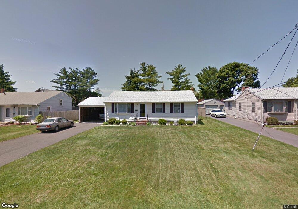
63 Michael Ln Newington, CT 06111
Estimated Value: $323,000 - $349,000
3
Beds
1
Bath
1,008
Sq Ft
$335/Sq Ft
Est. Value
About This Home
This home is located at 63 Michael Ln, Newington, CT 06111 and is currently estimated at $337,554, approximately $334 per square foot. 63 Michael Ln is a home located in Hartford County with nearby schools including Anna Reynolds School, Martin Kellogg Middle School, and Newington High School.
Ownership History
Date
Name
Owned For
Owner Type
Purchase Details
Closed on
Mar 20, 2013
Sold by
Ferreira Amilcar M and Ferreira Lucia M
Bought by
Magalhaes Madalena and Rosa Ilda
Current Estimated Value
Purchase Details
Closed on
Jul 16, 1990
Sold by
Fahmi Mourad M
Bought by
Ferreira Amilcar M
Home Financials for this Owner
Home Financials are based on the most recent Mortgage that was taken out on this home.
Original Mortgage
$70,000
Interest Rate
10.17%
Create a Home Valuation Report for This Property
The Home Valuation Report is an in-depth analysis detailing your home's value as well as a comparison with similar homes in the area
Home Values in the Area
Average Home Value in this Area
Purchase History
| Date | Buyer | Sale Price | Title Company |
|---|---|---|---|
| Magalhaes Madalena | -- | -- | |
| Ferreira Amilcar M | $139,000 | -- |
Source: Public Records
Mortgage History
| Date | Status | Borrower | Loan Amount |
|---|---|---|---|
| Previous Owner | Ferreira Amilcar M | $38,416 | |
| Previous Owner | Ferreira Amilcar M | $79,345 | |
| Previous Owner | Ferreira Amilcar M | $70,000 |
Source: Public Records
Tax History Compared to Growth
Tax History
| Year | Tax Paid | Tax Assessment Tax Assessment Total Assessment is a certain percentage of the fair market value that is determined by local assessors to be the total taxable value of land and additions on the property. | Land | Improvement |
|---|---|---|---|---|
| 2025 | $5,277 | $132,000 | $55,440 | $76,560 |
| 2024 | $5,236 | $132,000 | $55,440 | $76,560 |
| 2023 | $5,064 | $132,000 | $55,440 | $76,560 |
| 2022 | $5,081 | $132,000 | $55,440 | $76,560 |
| 2021 | $5,123 | $132,000 | $55,440 | $76,560 |
| 2020 | $4,952 | $126,060 | $51,980 | $74,080 |
| 2019 | $4,973 | $126,060 | $51,980 | $74,080 |
| 2018 | $4,853 | $126,060 | $51,980 | $74,080 |
| 2017 | $4,613 | $126,060 | $51,980 | $74,080 |
| 2016 | $4,507 | $126,060 | $51,980 | $74,080 |
| 2014 | $4,167 | $119,850 | $52,120 | $67,730 |
Source: Public Records
Map
Nearby Homes
- 105 Gilbert Rd
- 140 Camp Ave
- 35 Harding Ave
- 27 Harding Ave
- 31 Dacosta Dr
- 57 Welles Dr
- 47 Francis Dr
- 84 Connecticut Ave
- 9 Old Farm Dr
- 7 Old Farm Dr
- 20 Surrey Dr Unit B16 aka B4
- 760 Willard Ave
- 131 Williamstown Ct Unit 131
- 64 Garfield St
- 305 Hampton Ct
- 263 Williamstown Ct
- 37 Commonwealth Ave
- 218 Sterling Dr Unit 218
- 236 Sterling Dr Unit 236
- 123 Ellsworth St