63 Moxley Rd Uncasville, CT 06382
Oxoboxo River NeighborhoodEstimated Value: $362,000 - $415,000
4
Beds
3
Baths
1,806
Sq Ft
$220/Sq Ft
Est. Value
About This Home
This home is located at 63 Moxley Rd, Uncasville, CT 06382 and is currently estimated at $396,971, approximately $219 per square foot. 63 Moxley Rd is a home located in New London County with nearby schools including Leonard J. Tyl Middle School, Montville High School, and Bradley School-New London Regional.
Create a Home Valuation Report for This Property
The Home Valuation Report is an in-depth analysis detailing your home's value as well as a comparison with similar homes in the area
Home Values in the Area
Average Home Value in this Area
Tax History Compared to Growth
Tax History
| Year | Tax Paid | Tax Assessment Tax Assessment Total Assessment is a certain percentage of the fair market value that is determined by local assessors to be the total taxable value of land and additions on the property. | Land | Improvement |
|---|---|---|---|---|
| 2025 | $4,212 | $145,880 | $40,950 | $104,930 |
| 2024 | $4,051 | $145,880 | $40,950 | $104,930 |
| 2023 | $4,051 | $145,880 | $40,950 | $104,930 |
| 2022 | $3,896 | $145,880 | $40,950 | $104,930 |
| 2021 | $3,610 | $113,690 | $40,380 | $73,310 |
| 2020 | $3,681 | $113,690 | $40,380 | $73,310 |
| 2019 | $3,696 | $113,690 | $40,380 | $73,310 |
| 2018 | $3,607 | $113,690 | $40,380 | $73,310 |
| 2017 | $3,604 | $113,690 | $40,380 | $73,310 |
| 2016 | $3,631 | $118,620 | $52,290 | $66,330 |
| 2015 | $3,569 | $118,620 | $52,290 | $66,330 |
| 2014 | $3,484 | $118,620 | $52,290 | $66,330 |
Source: Public Records
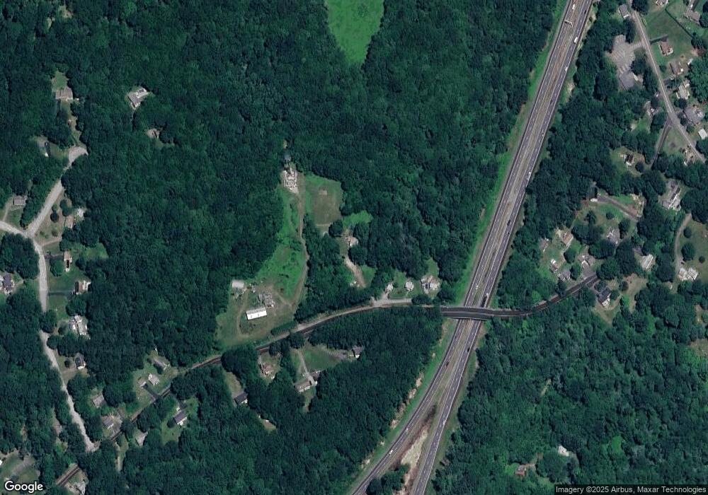
Map
Nearby Homes
- 60 Hammel Ln
- 19 Wyndwood Rd
- 22 Heather Brook Rd
- 245 Norwich New London Turnpike Unit 22
- 57 Roselund Hill Rd
- 5 Mountain Laurel Ridge
- 36 Depot Rd
- 1 High Ridge Cir
- 13 Dock Rd
- 0 Monahan Dr
- 10 Marcia Dr
- 230 Gay Hill Rd
- 270 Gay Hill Rd
- 320 Maple Ave
- 505 Old Colchester Rd
- 184 Kitemaug Rd
- 6 Sunset Rd
- 9 West Dr
- 205 Old Norwich Rd
- 45 Lynch Hill Rd