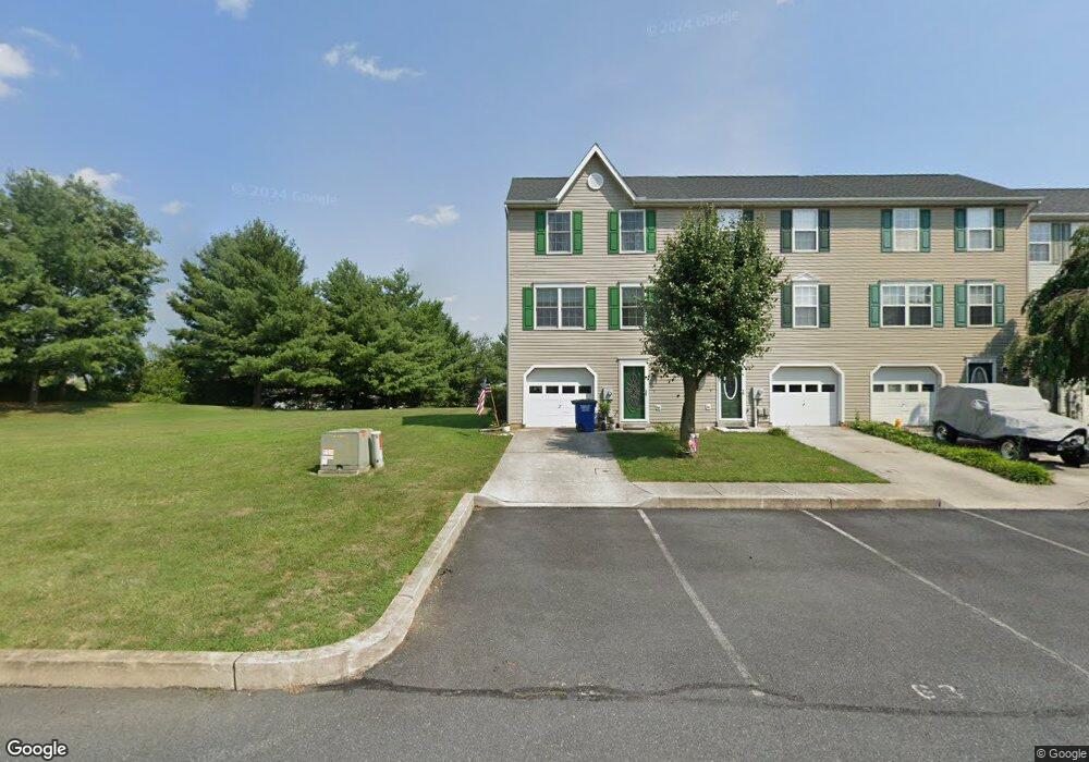
63 N Gala Unit 404 Littlestown, PA 17340
Estimated Value: $193,000 - $230,000
2
Beds
3
Baths
1,042
Sq Ft
$202/Sq Ft
Est. Value
About This Home
This home is located at 63 N Gala Unit 404, Littlestown, PA 17340 and is currently estimated at $210,439, approximately $201 per square foot. 63 N Gala Unit 404 is a home located in Adams County with nearby schools including Rolling Acres El School, Maple Avenue Middle School, and Littlestown Senior High School.
Ownership History
Date
Name
Owned For
Owner Type
Purchase Details
Closed on
Apr 8, 2022
Sold by
Lawon Kathryn L
Bought by
Brown Mark
Current Estimated Value
Home Financials for this Owner
Home Financials are based on the most recent Mortgage that was taken out on this home.
Original Mortgage
$145,403
Outstanding Balance
$137,236
Interest Rate
4.72%
Mortgage Type
New Conventional
Estimated Equity
$73,203
Purchase Details
Closed on
Jul 30, 2004
Bought by
Lawson Kathryn L
Create a Home Valuation Report for This Property
The Home Valuation Report is an in-depth analysis detailing your home's value as well as a comparison with similar homes in the area
Home Values in the Area
Average Home Value in this Area
Purchase History
| Date | Buyer | Sale Price | Title Company |
|---|---|---|---|
| Brown Mark | $149,900 | Quality Service Settlements | |
| Lawson Kathryn L | $105,000 | -- |
Source: Public Records
Mortgage History
| Date | Status | Borrower | Loan Amount |
|---|---|---|---|
| Open | Brown Mark | $145,403 | |
| Closed | Brown Mark | $7,495 | |
| Previous Owner | Lawson Kathryn L | $82,800 |
Source: Public Records
Tax History Compared to Growth
Tax History
| Year | Tax Paid | Tax Assessment Tax Assessment Total Assessment is a certain percentage of the fair market value that is determined by local assessors to be the total taxable value of land and additions on the property. | Land | Improvement |
|---|---|---|---|---|
| 2025 | $3,195 | $139,000 | $28,000 | $111,000 |
| 2024 | $3,079 | $139,000 | $28,000 | $111,000 |
| 2023 | $2,960 | $139,000 | $28,000 | $111,000 |
| 2022 | $2,942 | $139,000 | $28,000 | $111,000 |
| 2021 | $2,855 | $139,000 | $28,000 | $111,000 |
| 2020 | $2,821 | $139,000 | $28,000 | $111,000 |
| 2019 | $2,736 | $139,000 | $28,000 | $111,000 |
| 2018 | $2,686 | $139,000 | $28,000 | $111,000 |
| 2017 | $2,617 | $139,000 | $28,000 | $111,000 |
| 2016 | -- | $139,000 | $28,000 | $111,000 |
| 2015 | -- | $139,000 | $28,000 | $111,000 |
| 2014 | -- | $139,000 | $28,000 | $111,000 |
Source: Public Records
Map
Nearby Homes
- 440 N Queen St
- 135 Apple Grove Ln Unit 438
- 140 Apple Grove Ln Unit 425
- 52 Stayman Way Unit 81
- 161 Stoners Cir
- 58 Windsor Ct
- 48 Windsor Ct
- 20c Locust Dr
- 0 Locust Dr Unit PAAD2015910
- 20 Locust Dr
- 22 Rita Marie Ave
- 162 Newark St
- 129 W King St
- 115 Charles St
- 117 Charles St
- 61 E King St
- 211 E King St
- 41 Smith Cir
- 1024 Frederick Pike Unit 6
- 449 Glenwyn Dr
- 61 N Gala Unit 405
- 59 N Gala Unit 406
- 57 N Gala Unit 407
- 55 N Gala Unit 408
- 110 Apple Grove Ln Unit 410
- 112 Apple Grove Ln Unit 411
- 53 N Gala Unit 409
- 114 Apple Grove Ln Unit 412
- 116 Apple Grove Ln Unit 413
- 62 N Gala Unit 399
- 60 N Gala Unit 398
- 64 N Gala Unit 400
- 118 Apple Grove Ln Unit 414
- 56 N Gala Unit 396
- 66 N Gala Unit 401
- 54 N Gala Unit 395
- 68 N Gala Unit 402
- 120 Apple Grove Ln Unit 415
- 52 N Gala Unit 394
- 107 S Gala Unit 440