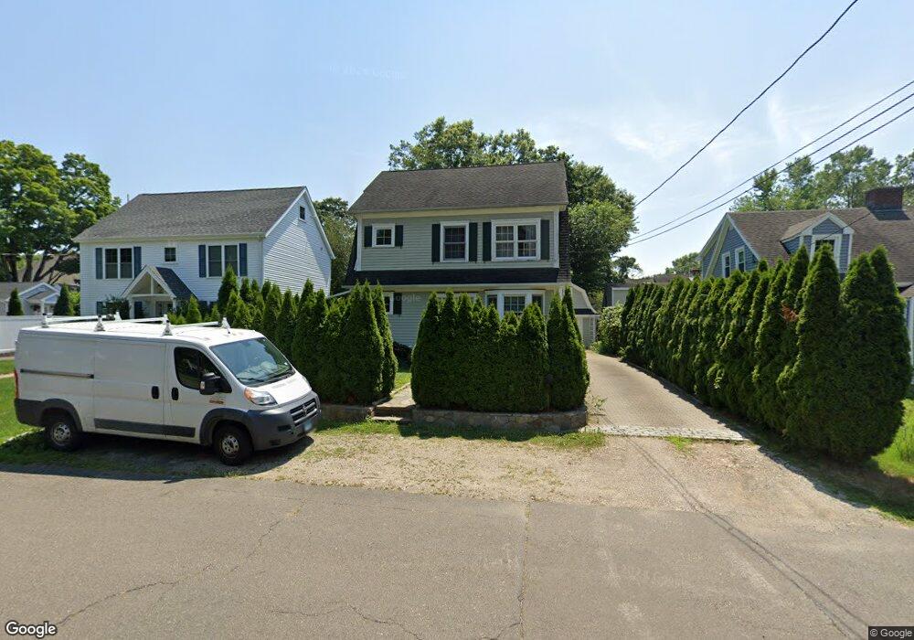
63 Perry St Fairfield, CT 06824
University NeighborhoodEstimated Value: $659,000 - $1,194,000
3
Beds
3
Baths
1,878
Sq Ft
$504/Sq Ft
Est. Value
About This Home
This home is located at 63 Perry St, Fairfield, CT 06824 and is currently estimated at $946,122, approximately $503 per square foot. 63 Perry St is a home located in Fairfield County with nearby schools including Riverfield Elementary School, Roger Ludlowe Middle School, and Fairfield Ludlowe High School.
Ownership History
Date
Name
Owned For
Owner Type
Purchase Details
Closed on
Feb 25, 2000
Sold by
Mclevy Charles E and Mclevy Virginia A
Bought by
Godlewski Tadevsz
Current Estimated Value
Purchase Details
Closed on
May 15, 1998
Sold by
Oleary Barbara E
Bought by
Mclevy Charles E and Mclevy Virginia A
Create a Home Valuation Report for This Property
The Home Valuation Report is an in-depth analysis detailing your home's value as well as a comparison with similar homes in the area
Home Values in the Area
Average Home Value in this Area
Purchase History
| Date | Buyer | Sale Price | Title Company |
|---|---|---|---|
| Godlewski Tadevsz | $204,000 | -- | |
| Godlewski Tadevsz | $204,000 | -- | |
| Mclevy Charles E | $140,000 | -- | |
| Mclevy Charles E | $140,000 | -- |
Source: Public Records
Mortgage History
| Date | Status | Borrower | Loan Amount |
|---|---|---|---|
| Open | Mclevy Charles E | $185,555 | |
| Closed | Mclevy Charles E | $206,000 | |
| Closed | Mclevy Charles E | $206,000 |
Source: Public Records
Tax History Compared to Growth
Tax History
| Year | Tax Paid | Tax Assessment Tax Assessment Total Assessment is a certain percentage of the fair market value that is determined by local assessors to be the total taxable value of land and additions on the property. | Land | Improvement |
|---|---|---|---|---|
| 2025 | $11,431 | $402,640 | $237,370 | $165,270 |
| 2024 | $11,234 | $402,640 | $237,370 | $165,270 |
| 2023 | $11,077 | $402,640 | $237,370 | $165,270 |
| 2022 | $10,968 | $402,640 | $237,370 | $165,270 |
| 2021 | $10,863 | $402,640 | $237,370 | $165,270 |
| 2020 | $10,543 | $393,540 | $234,850 | $158,690 |
| 2019 | $10,543 | $393,540 | $234,850 | $158,690 |
| 2018 | $10,374 | $393,540 | $234,850 | $158,690 |
| 2017 | $10,161 | $393,540 | $234,850 | $158,690 |
| 2016 | $10,016 | $393,540 | $234,850 | $158,690 |
| 2015 | $10,648 | $429,520 | $260,960 | $168,560 |
| 2014 | $10,480 | $429,520 | $260,960 | $168,560 |
Source: Public Records
Map
Nearby Homes
- 647 Bronson Rd
- 105 Charter Oak Rd
- 20 Ermine St
- 245 Unquowa Rd Unit 33
- 21 Beaumont St
- 65 Thorpe St Unit 65
- 43 Helen St
- 168 Wormwood Rd
- 360 Duck Farm Rd
- 88 Overhill Rd
- 38 Edge Hill Rd
- 844 Mill Hill Terrace
- 327 Meadowbrook Rd
- 209 S Pine Creek Rd
- 226 Ruane St
- 15 Barton Rd
- 127 Paul Place
- 324 Sunnieholme Dr
- 338 Orchard Hill Ln
- 2180 Kings Hwy Unit 1