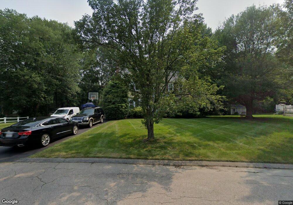
63 Peters Way Attleboro, MA 02703
Estimated Value: $614,504 - $688,000
4
Beds
3
Baths
2,070
Sq Ft
$309/Sq Ft
Est. Value
About This Home
This home is located at 63 Peters Way, Attleboro, MA 02703 and is currently estimated at $640,376, approximately $309 per square foot. 63 Peters Way is a home located in Bristol County with nearby schools including A. Irvin Studley Elementary School, Robert J. Coelho Middle School, and Attleboro High School.
Ownership History
Date
Name
Owned For
Owner Type
Purchase Details
Closed on
Mar 31, 1989
Sold by
Z A K Dev Corp
Bought by
Burns Michael J
Current Estimated Value
Home Financials for this Owner
Home Financials are based on the most recent Mortgage that was taken out on this home.
Original Mortgage
$1,489,000
Interest Rate
10.63%
Mortgage Type
Purchase Money Mortgage
Create a Home Valuation Report for This Property
The Home Valuation Report is an in-depth analysis detailing your home's value as well as a comparison with similar homes in the area
Home Values in the Area
Average Home Value in this Area
Purchase History
| Date | Buyer | Sale Price | Title Company |
|---|---|---|---|
| Burns Michael J | $187,125 | -- |
Source: Public Records
Mortgage History
| Date | Status | Borrower | Loan Amount |
|---|---|---|---|
| Open | Burns Michael J | $153,000 | |
| Closed | Burns Michael J | $11,000 | |
| Closed | Burns Michael J | $1,489,000 |
Source: Public Records
Tax History Compared to Growth
Tax History
| Year | Tax Paid | Tax Assessment Tax Assessment Total Assessment is a certain percentage of the fair market value that is determined by local assessors to be the total taxable value of land and additions on the property. | Land | Improvement |
|---|---|---|---|---|
| 2025 | $6,113 | $487,100 | $178,200 | $308,900 |
| 2024 | $5,764 | $452,800 | $160,800 | $292,000 |
| 2023 | $5,491 | $401,100 | $162,400 | $238,700 |
| 2022 | $5,290 | $366,100 | $155,000 | $211,100 |
| 2021 | $5,267 | $355,900 | $149,200 | $206,700 |
| 2020 | $5,017 | $344,600 | $142,600 | $202,000 |
| 2019 | $4,881 | $344,700 | $140,000 | $204,700 |
| 2018 | $4,748 | $320,400 | $136,000 | $184,400 |
| 2017 | $4,618 | $317,400 | $132,600 | $184,800 |
| 2016 | $4,470 | $301,600 | $124,200 | $177,400 |
| 2015 | $4,353 | $295,900 | $124,200 | $171,700 |
| 2014 | $4,286 | $288,600 | $118,800 | $169,800 |
Source: Public Records
Map
Nearby Homes
- 6 Perez St
- 124 Tiffany St
- 714 S Main St
- 804 County St
- 20 Georgia Rae Way
- 0 Tulip Unit 73410552
- 0 Tulip Unit 73407296
- 660 Thacher St Unit 1402
- 101 South Ave Unit 803
- 88 Sandalwood Dr
- 464 S Main St
- 176 Read St
- 15 Arline Dr
- 72 Alder St
- 0 Middle St
- 22 Frenier Ave Unit 26
- 3 Dailey St Unit J
- 31 Verndale Ave
- 34 Hawthorne St
- 429 S Main St Unit 1
- 71 Peters Way
- 55 Peters Way
- 102 Peter's Way
- 107 Peter's Way
- 45 Kellcourt Dr
- 68 Kellcourt Dr
- 47 Peters Way
- 60 Kellcourt Dr
- 38 Peters Way
- 52 Kellcourt Dr
- 37 Kellcourt Dr
- 39 Peters Way
- 30 Peters Way
- 44 Kellcourt Dr
- 31 Peters Way
- 29 Kellcourt Dr
- 36 Kellcourt Dr
- 22 Peters Way
- 23 Peters Way
- 28 Kellcourt Dr