63 Pineswamp Rd Ipswich, MA 01938
Estimated Value: $1,434,000 - $1,791,000
3
Beds
5
Baths
5,593
Sq Ft
$286/Sq Ft
Est. Value
About This Home
This home is located at 63 Pineswamp Rd, Ipswich, MA 01938 and is currently estimated at $1,598,801, approximately $285 per square foot. 63 Pineswamp Rd is a home located in Essex County with nearby schools including Ipswich High School.
Ownership History
Date
Name
Owned For
Owner Type
Purchase Details
Closed on
Jun 23, 2021
Sold by
Kamon 1999 Rt and Perry
Bought by
Essex Cnty Grnbelt Assn
Current Estimated Value
Purchase Details
Closed on
Jan 12, 2009
Sold by
Pappas Alexander G
Bought by
Pps Rt
Create a Home Valuation Report for This Property
The Home Valuation Report is an in-depth analysis detailing your home's value as well as a comparison with similar homes in the area
Home Values in the Area
Average Home Value in this Area
Purchase History
| Date | Buyer | Sale Price | Title Company |
|---|---|---|---|
| Essex Cnty Grnbelt Assn | $1,150,000 | None Available | |
| Pps Rt | -- | -- |
Source: Public Records
Mortgage History
| Date | Status | Borrower | Loan Amount |
|---|---|---|---|
| Previous Owner | Pps Rt | $235,000 | |
| Previous Owner | Pps Rt | $200,000 | |
| Previous Owner | Pps Rt | $325,000 |
Source: Public Records
Tax History Compared to Growth
Tax History
| Year | Tax Paid | Tax Assessment Tax Assessment Total Assessment is a certain percentage of the fair market value that is determined by local assessors to be the total taxable value of land and additions on the property. | Land | Improvement |
|---|---|---|---|---|
| 2025 | $14,721 | $1,320,300 | $448,100 | $872,200 |
| 2024 | $14,447 | $1,269,500 | $444,400 | $825,100 |
| 2023 | $14,626 | $1,195,900 | $396,500 | $799,400 |
| 2022 | $13,841 | $1,076,300 | $359,500 | $716,800 |
| 2021 | $13,372 | $1,011,500 | $346,400 | $665,100 |
| 2020 | $13,168 | $939,200 | $324,600 | $614,600 |
| 2019 | $13,094 | $929,300 | $309,400 | $619,900 |
| 2018 | $12,459 | $874,900 | $292,000 | $582,900 |
| 2017 | $11,981 | $844,300 | $278,900 | $565,400 |
| 2016 | $11,436 | $770,100 | $274,500 | $495,600 |
| 2015 | $9,920 | $734,300 | $265,800 | $468,500 |
Source: Public Records
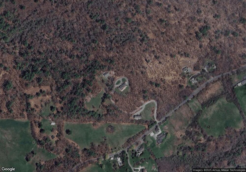
Map
Nearby Homes
- 45 Pineswamp Rd
- 4 Sheppards Way
- 6 Mayfair Ct
- 24 River Point Dr Unit 6
- 38 Kimball Ave Unit 5
- 21 Brownville Ave
- 125 Topsfield Rd
- 128 High St Unit 4
- 11 Washington St Unit 11
- 11 Washington St
- 11 Washington St Unit 7
- 11 Washington St Unit 5
- 11 Washington St Unit 10
- 11 Washington St Unit 4
- 11 Washington St Unit 12
- 11 Washington St Unit Nine
- 24 Primrose Ln Unit 24
- 500 Colonial Dr Unit 3
- 50 Market St Unit 2
- 50-56 Market St
- 65 Pineswamp Rd
- 67 Pineswamp Rd
- 61 Pineswamp Rd
- 64 Pineswamp Rd
- 57 Pineswamp Rd
- 68 Pineswamp Rd
- 59 Pineswamp Rd
- 74 Pineswamp Rd
- 70 Pineswamp Rd
- 55 Pineswamp Rd
- 72 Pineswamp Rd
- 38 Pineswamp Rd
- 43 Pineswamp Rd
- 41 Pineswamp Rd
- 48 Pineswamp Rd
- 35 Pineswamp Rd
- 39 Pineswamp Rd
- 44 Pineswamp Rd
- 29 Bush Hill Rd
- 84 Linebrook Rd