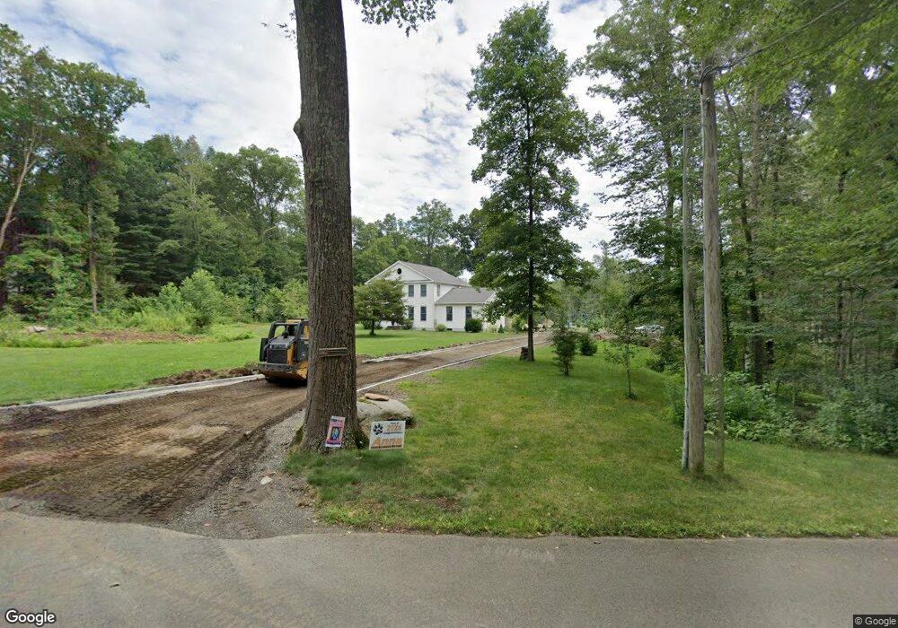
63 Pond Meadow Rd Killingworth, CT 06419
Estimated Value: $725,000 - $844,000
--
Bed
3
Baths
2,856
Sq Ft
$271/Sq Ft
Est. Value
About This Home
This home is located at 63 Pond Meadow Rd, Killingworth, CT 06419 and is currently estimated at $773,774, approximately $270 per square foot. 63 Pond Meadow Rd is a home located in Middlesex County with nearby schools including Haddam-Killingworth High School and Haddam-Killingworth Intermediate School.
Ownership History
Date
Name
Owned For
Owner Type
Purchase Details
Closed on
Mar 28, 1996
Sold by
Lauer Carl A and Lauer Marion Davis
Bought by
Rohlfs Mark W and Rohlfs Kristie L
Current Estimated Value
Home Financials for this Owner
Home Financials are based on the most recent Mortgage that was taken out on this home.
Original Mortgage
$176,000
Interest Rate
6.9%
Mortgage Type
Unknown
Create a Home Valuation Report for This Property
The Home Valuation Report is an in-depth analysis detailing your home's value as well as a comparison with similar homes in the area
Home Values in the Area
Average Home Value in this Area
Purchase History
| Date | Buyer | Sale Price | Title Company |
|---|---|---|---|
| Rohlfs Mark W | $78,000 | -- |
Source: Public Records
Mortgage History
| Date | Status | Borrower | Loan Amount |
|---|---|---|---|
| Open | Rohlfs Mark W | $308,000 | |
| Closed | Rohlfs Mark W | $155,000 | |
| Closed | Rohlfs Mark W | $20,000 | |
| Closed | Rohlfs Mark W | $176,000 |
Source: Public Records
Tax History Compared to Growth
Tax History
| Year | Tax Paid | Tax Assessment Tax Assessment Total Assessment is a certain percentage of the fair market value that is determined by local assessors to be the total taxable value of land and additions on the property. | Land | Improvement |
|---|---|---|---|---|
| 2025 | $10,014 | $381,920 | $77,280 | $304,640 |
| 2024 | $9,250 | $381,920 | $77,280 | $304,640 |
| 2023 | $9,141 | $389,480 | $77,280 | $312,200 |
| 2022 | $7,726 | $332,710 | $77,280 | $255,430 |
| 2021 | $4,616 | $268,250 | $86,570 | $181,680 |
| 2020 | $4,637 | $268,250 | $86,570 | $181,680 |
| 2019 | $5,719 | $268,250 | $86,570 | $181,680 |
| 2018 | $4,549 | $278,910 | $97,230 | $181,680 |
| 2017 | $4,829 | $278,910 | $97,230 | $181,680 |
| 2016 | $7,889 | $304,730 | $143,450 | $161,280 |
| 2015 | $7,688 | $304,730 | $143,450 | $161,280 |
| 2014 | $7,475 | $304,730 | $143,450 | $161,280 |
Source: Public Records
Map
Nearby Homes
- 13 Cranberry Meadow Ln
- 640 Route 81
- 12 Rachel Ct
- 36 Meadow Rd
- 511 Route 81
- 275 Route 148
- 172 Parker Hill Rd
- 464 Roast Meat Hill Rd
- 24 Boulder Trail
- 593 Route 148
- 590 Route 148
- 29 Bridlepath Trail
- 6 Country Club Trail
- 8 Livemore Trail
- 10 & 12 Firetower Rd
- 28 Fieldstone Ln
- 3 Woodland Trail
- 14 Kenilworth Dr
- 0 Little City Rd
- 1 Route 148
- 69 Pond Meadow Rd
- 71 Pond Meadow Rd
- 60 Pond Meadow Rd
- 75 Pond Meadow Rd
- 74 Pond Meadow Rd
- 79 Pond Meadow Rd
- 55 Pond Meadow Rd
- 43 Pond Meadow Rd
- 80 Pond Meadow Rd
- 83 Pond Meadow Rd
- 54 Bethke Rd
- 37 Pond Meadow Rd
- 76 Pond Meadow Rd
- 85 Pond Meadow Rd
- 89 Pond Meadow Rd
- 50 Bethke Rd
- 91 Pond Meadow Rd
- 96 Pond Meadow Rd
- 96 Pond Meadow Rd
- 31 Pond Meadow Rd