Estimated Value: $413,000 - $735,657
3
Beds
3
Baths
1,664
Sq Ft
$333/Sq Ft
Est. Value
About This Home
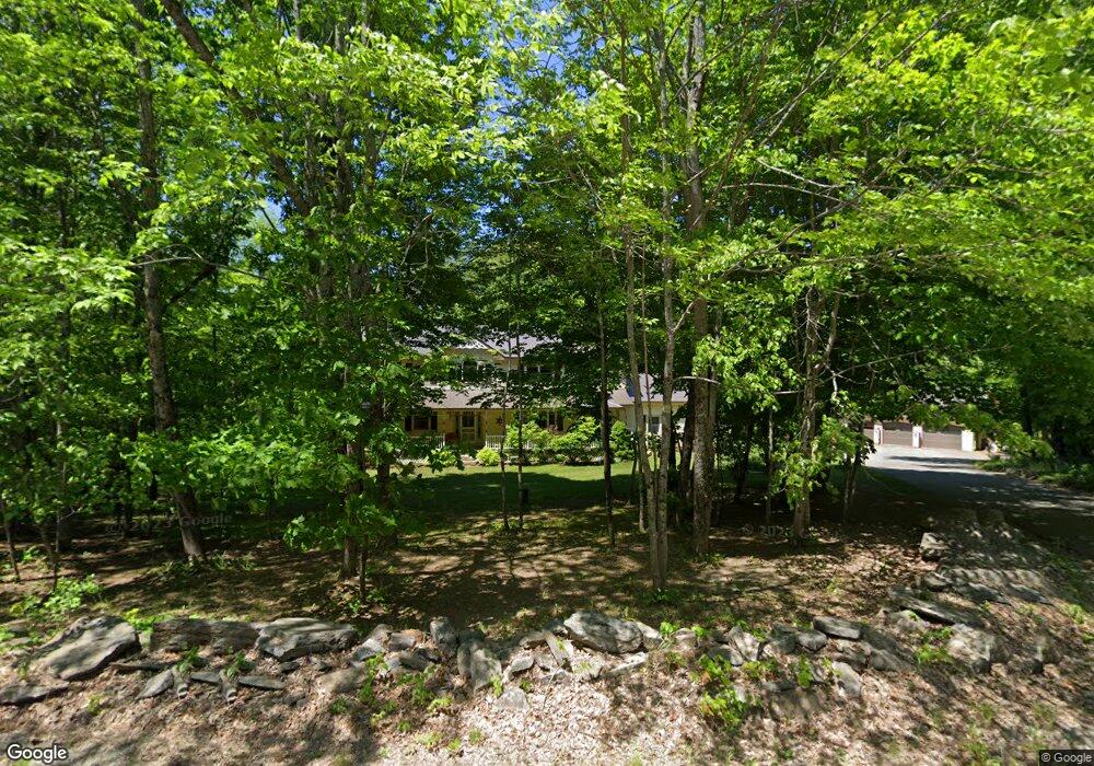
This home is located at 63 Pond Rd, Wayne, ME 04284 and is currently estimated at $554,552, approximately $333 per square foot. 63 Pond Rd is a home located in Kennebec County.
Ownership History
Date
Name
Owned For
Owner Type
Purchase Details
Closed on
Apr 14, 2016
Sold by
Murray Michelle
Bought by
Behrendt Leo F
Current Estimated Value
Purchase Details
Closed on
Jan 7, 2011
Sold by
Prince Adam P
Bought by
Murray Donna and Murray Michael
Purchase Details
Closed on
Oct 30, 2007
Sold by
Sullivan Debra A
Bought by
Dwight Stephen and Murray Michelle
Home Financials for this Owner
Home Financials are based on the most recent Mortgage that was taken out on this home.
Original Mortgage
$186,400
Interest Rate
6.39%
Mortgage Type
Unknown
Create a Home Valuation Report for This Property
The Home Valuation Report is an in-depth analysis detailing your home's value as well as a comparison with similar homes in the area
Home Values in the Area
Average Home Value in this Area
Purchase History
| Date | Buyer | Sale Price | Title Company |
|---|---|---|---|
| Behrendt Leo F | -- | -- | |
| Murray Donna | -- | -- | |
| Dwight Stephen | -- | -- |
Source: Public Records
Mortgage History
| Date | Status | Borrower | Loan Amount |
|---|---|---|---|
| Previous Owner | Dwight Stephen | $186,400 |
Source: Public Records
Tax History
| Year | Tax Paid | Tax Assessment Tax Assessment Total Assessment is a certain percentage of the fair market value that is determined by local assessors to be the total taxable value of land and additions on the property. | Land | Improvement |
|---|---|---|---|---|
| 2024 | $5,846 | $494,200 | $362,500 | $131,700 |
| 2023 | $5,865 | $284,700 | $224,600 | $60,100 |
| 2022 | $5,331 | $282,500 | $224,600 | $57,900 |
| 2021 | $5,074 | $282,500 | $224,600 | $57,900 |
| 2020 | $5,106 | $284,300 | $224,600 | $59,700 |
| 2019 | $5,106 | $284,300 | $224,600 | $59,700 |
| 2017 | $262 | $282,500 | $224,600 | $57,900 |
| 2016 | $4,189 | $282,500 | $224,600 | $57,900 |
| 2015 | $4,116 | $282,500 | $224,600 | $57,900 |
| 2014 | $4,060 | $282,500 | $224,600 | $57,900 |
| 2013 | $4,002 | $281,800 | $224,600 | $57,200 |
Source: Public Records
Map
Nearby Homes
- 506 Main St
- M 6, L 32 Main St
- Lot 39 Main St
- 286 Pond Rd
- 57 Deer Hill Rd
- 29 Kents Hill Rd
- 156 Lakeshore Dr
- 75 Lovejoy Shores Dr
- 9 Russell St
- 1835 Main St
- 132 Hunton Loop
- 192 Turkey Ln
- 974 Sturtevant Hill Rd
- 46 Squire Ct
- 31 Squire Ct
- 591 North Rd
- 1477 Main St
- 42 Squire Ct
- 60 Route 41
- 232 Campground Rd
Your Personal Tour Guide
Ask me questions while you tour the home.