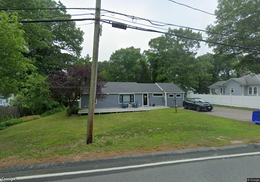
63 Presidents Rd Buzzards Bay, MA 02532
Estimated Value: $637,639 - $732,000
3
Beds
2
Baths
1,001
Sq Ft
$687/Sq Ft
Est. Value
About This Home
This home is located at 63 Presidents Rd, Buzzards Bay, MA 02532 and is currently estimated at $687,410, approximately $686 per square foot. 63 Presidents Rd is a home located in Barnstable County with nearby schools including Bourne High School, St Margaret Regional School, and Cadence Academy Preschool - Bourne.
Ownership History
Date
Name
Owned For
Owner Type
Purchase Details
Closed on
Jun 19, 2013
Sold by
Linn Marilyn D
Bought by
Linn Ryan P
Current Estimated Value
Purchase Details
Closed on
Jun 29, 2001
Sold by
George Susan
Bought by
Linn Marilyn D
Home Financials for this Owner
Home Financials are based on the most recent Mortgage that was taken out on this home.
Original Mortgage
$115,000
Interest Rate
7.14%
Mortgage Type
Purchase Money Mortgage
Create a Home Valuation Report for This Property
The Home Valuation Report is an in-depth analysis detailing your home's value as well as a comparison with similar homes in the area
Home Values in the Area
Average Home Value in this Area
Purchase History
| Date | Buyer | Sale Price | Title Company |
|---|---|---|---|
| Linn Ryan P | $312,000 | -- | |
| Linn Ryan P | $312,000 | -- | |
| Linn Marilyn D | $225,000 | -- | |
| Linn Marilyn D | $225,000 | -- |
Source: Public Records
Mortgage History
| Date | Status | Borrower | Loan Amount |
|---|---|---|---|
| Previous Owner | Linn Marilyn D | $105,750 | |
| Previous Owner | Linn Marilyn D | $115,000 |
Source: Public Records
Tax History Compared to Growth
Tax History
| Year | Tax Paid | Tax Assessment Tax Assessment Total Assessment is a certain percentage of the fair market value that is determined by local assessors to be the total taxable value of land and additions on the property. | Land | Improvement |
|---|---|---|---|---|
| 2025 | $4,709 | $602,900 | $332,200 | $270,700 |
| 2024 | $4,393 | $547,700 | $316,400 | $231,300 |
| 2023 | $4,270 | $484,700 | $280,000 | $204,700 |
| 2022 | $4,139 | $410,200 | $247,800 | $162,400 |
| 2021 | $4,022 | $373,400 | $225,500 | $147,900 |
| 2020 | $3,874 | $360,700 | $223,300 | $137,400 |
| 2019 | $3,907 | $371,700 | $242,000 | $129,700 |
| 2018 | $3,231 | $306,500 | $195,000 | $111,500 |
| 2017 | $3,066 | $297,700 | $187,300 | $110,400 |
| 2016 | $2,803 | $275,900 | $187,300 | $88,600 |
| 2015 | $2,778 | $275,900 | $187,300 | $88,600 |
Source: Public Records
Map
Nearby Homes
- 16 Washington Ave
- 151 - 153 Main St
- 34 Washington Ave
- 46 Holt Rd
- 46 Holt Rd Unit A
- 203 County Rd
- 13 Laurel Hill Ct
- 18 Carlton Rd
- 44 Cotuit Rd
- 56 Rip Van Winkle Way
- 14 Great Rock Rd
- 5 Sea Knoll Ct
- 1 Pine Tree Dr
- 3 Wolf Rd
- 26 Carnoustie Rd
- 12 Beachwood Rd
- 60 Sandwich Rd
- 12 Turnberry Rd Unit 12
- 3 Fairway Dr Unit F
- 63 Presidents Rd
- 67 Presidents Rd
- 45 Presidents Rd
- 45 Presidents Rd
- 45 Presidents Rd
- 7 Water St
- 7 Water St
- 7 Water St
- 69 Presidents Rd Unit 1
- 69 Presidents Rd
- 69 Presidents Rd
- 69 Presidents Rd
- 69 Presidents Rd Unit 69
- 66 Presidents Rd
- 66 Presidents Rd
- 37 Presidents Rd
- 37 Presidents Rd
- 60 Presidents Rd
- 79 Presidents Rd
- 30 Seabreeze Dr