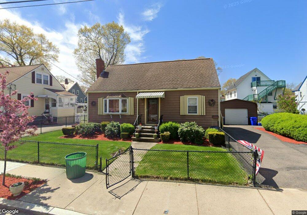
63 Ruskindale Rd Mattapan, MA 02126
Hyde Park NeighborhoodEstimated Value: $635,000 - $696,000
3
Beds
3
Baths
1,487
Sq Ft
$452/Sq Ft
Est. Value
About This Home
This home is located at 63 Ruskindale Rd, Mattapan, MA 02126 and is currently estimated at $671,398, approximately $451 per square foot. 63 Ruskindale Rd is a home located in Suffolk County with nearby schools including Boston Preparatory Charter Public School and Sacred Heart STEM School.
Ownership History
Date
Name
Owned For
Owner Type
Purchase Details
Closed on
Feb 27, 1987
Sold by
Johnson Henry B
Bought by
Brown Lewis A
Current Estimated Value
Home Financials for this Owner
Home Financials are based on the most recent Mortgage that was taken out on this home.
Original Mortgage
$96,000
Interest Rate
9.19%
Mortgage Type
Purchase Money Mortgage
Create a Home Valuation Report for This Property
The Home Valuation Report is an in-depth analysis detailing your home's value as well as a comparison with similar homes in the area
Home Values in the Area
Average Home Value in this Area
Purchase History
| Date | Buyer | Sale Price | Title Company |
|---|---|---|---|
| Brown Lewis A | $120,000 | -- |
Source: Public Records
Mortgage History
| Date | Status | Borrower | Loan Amount |
|---|---|---|---|
| Open | Brown Lewis A | $100,000 | |
| Closed | Brown Lewis A | $96,000 |
Source: Public Records
Tax History Compared to Growth
Tax History
| Year | Tax Paid | Tax Assessment Tax Assessment Total Assessment is a certain percentage of the fair market value that is determined by local assessors to be the total taxable value of land and additions on the property. | Land | Improvement |
|---|---|---|---|---|
| 2025 | $6,675 | $576,400 | $158,000 | $418,400 |
| 2024 | $5,963 | $547,100 | $156,400 | $390,700 |
| 2023 | $5,441 | $506,600 | $144,800 | $361,800 |
| 2022 | $5,151 | $473,400 | $135,300 | $338,100 |
| 2021 | $4,740 | $444,200 | $130,100 | $314,100 |
| 2020 | $4,230 | $400,600 | $117,000 | $283,600 |
| 2019 | $3,838 | $364,100 | $88,600 | $275,500 |
| 2018 | $3,633 | $346,700 | $88,600 | $258,100 |
| 2017 | $3,370 | $318,200 | $88,600 | $229,600 |
| 2016 | $3,302 | $300,200 | $88,600 | $211,600 |
| 2015 | $3,610 | $298,100 | $97,400 | $200,700 |
| 2014 | $3,466 | $275,500 | $97,400 | $178,100 |
Source: Public Records
Map
Nearby Homes
- 34 Ridlon Rd
- 0 Tina Ave
- 265 Hebron St
- 7 Winborough St
- 179 Hebron St
- 839-843 Cummins Hwy
- 231 Itasca St
- 23 Caton St
- 72 Livermore St
- 25 Alpine St Unit 7
- 90 Hollingsworth St
- 770 Cummins Hwy Unit 1
- 770 Cummins Hwy Unit 22
- 10 Brockton St
- 645 River St
- 514 Metropolitan Ave Unit 514A
- 20 Massasoit St
- 48-50 Rockdale St
- 42 Osceola St
- 27 Lexington Ave
- 55 Ruskindale Rd
- 67 Ruskindale Rd
- 30 Taunton Ave
- 32 Taunton Ave
- 30 Taunton Ave Unit 1
- 30 Taunton Ave Unit 2
- 51 Ruskindale Rd
- 64 Ruskindale Rd
- 36 Taunton Ave
- 56 Ruskindale Rd
- 71 Ruskindale Rd
- 28 Taunton Ave
- 68 Ruskindale Rd
- 52 Ruskindale Rd
- 38 Taunton Ave
- 75 Ruskindale Rd
- 26 Taunton Ave
- 43 Ruskindale Rd
- 72 Ruskindale Rd
- 40 Taunton Ave