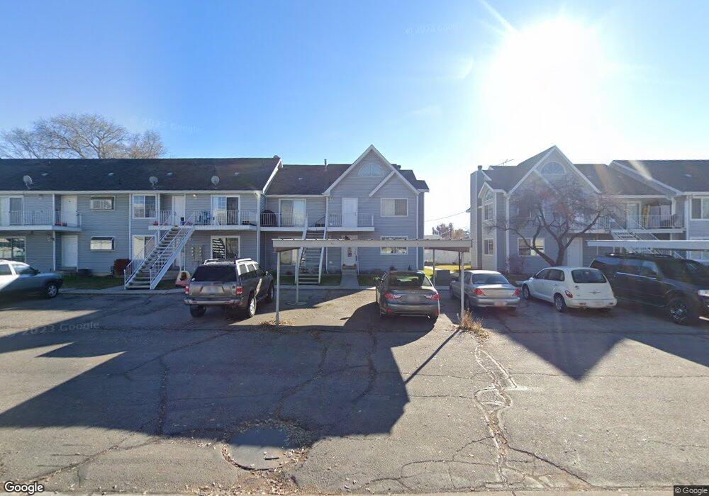
63 S 100 W Unit 8 American Fork, UT 84003
Estimated Value: $318,000 - $416,000
2
Beds
2
Baths
1,635
Sq Ft
$220/Sq Ft
Est. Value
About This Home
This home is located at 63 S 100 W Unit 8, American Fork, UT 84003 and is currently estimated at $360,058, approximately $220 per square foot. 63 S 100 W Unit 8 is a home located in Utah County with nearby schools including Greenwood Elementary School, American Fork Junior High School, and American Fork High School.
Ownership History
Date
Name
Owned For
Owner Type
Purchase Details
Closed on
May 28, 2024
Sold by
Southerland Jason and Jimenez Karen
Bought by
Noyce Samuel and Leavitt William
Current Estimated Value
Home Financials for this Owner
Home Financials are based on the most recent Mortgage that was taken out on this home.
Original Mortgage
$299,250
Outstanding Balance
$295,489
Interest Rate
7.1%
Mortgage Type
New Conventional
Estimated Equity
$64,569
Purchase Details
Closed on
Apr 20, 2021
Sold by
Southerland Jason
Bought by
Southerland Jason and Jimenez Karen
Home Financials for this Owner
Home Financials are based on the most recent Mortgage that was taken out on this home.
Original Mortgage
$187,000
Interest Rate
3.1%
Mortgage Type
VA
Purchase Details
Closed on
Nov 17, 2017
Sold by
Walker Jefrey W and Walker Julianne S
Bought by
Southerland Jason
Home Financials for this Owner
Home Financials are based on the most recent Mortgage that was taken out on this home.
Original Mortgage
$167,000
Interest Rate
3.88%
Mortgage Type
VA
Purchase Details
Closed on
Jan 31, 2008
Sold by
Walker Jeff and Walker Julianne
Bought by
Walker Jeffrey W and Walker Julianne S
Home Financials for this Owner
Home Financials are based on the most recent Mortgage that was taken out on this home.
Original Mortgage
$150,727
Interest Rate
6.09%
Mortgage Type
New Conventional
Purchase Details
Closed on
Aug 17, 2006
Sold by
Colonial Pines #8 Llc
Bought by
Walker Jeff and Walker Julianne
Home Financials for this Owner
Home Financials are based on the most recent Mortgage that was taken out on this home.
Original Mortgage
$130,500
Interest Rate
6.76%
Mortgage Type
Purchase Money Mortgage
Purchase Details
Closed on
Sep 15, 2005
Sold by
Moody Colton
Bought by
Colonial Pines #8 Llc
Purchase Details
Closed on
Oct 7, 1996
Sold by
Thomas Tamara D
Bought by
Moody Colton
Home Financials for this Owner
Home Financials are based on the most recent Mortgage that was taken out on this home.
Original Mortgage
$94,000
Interest Rate
8.1%
Create a Home Valuation Report for This Property
The Home Valuation Report is an in-depth analysis detailing your home's value as well as a comparison with similar homes in the area
Home Values in the Area
Average Home Value in this Area
Purchase History
| Date | Buyer | Sale Price | Title Company |
|---|---|---|---|
| Noyce Samuel | -- | North Star Title | |
| Southerland Jason | -- | Timios Inc | |
| Southerland Jason | -- | Old Republic Title | |
| Walker Jeffrey W | -- | Capitol Title | |
| Walker Jeff | -- | First American Title Insuran | |
| Colonial Pines #8 Llc | -- | -- | |
| Moody Colton | -- | First American |
Source: Public Records
Mortgage History
| Date | Status | Borrower | Loan Amount |
|---|---|---|---|
| Open | Noyce Samuel | $299,250 | |
| Previous Owner | Southerland Jason | $187,000 | |
| Previous Owner | Southerland Jason | $167,000 | |
| Previous Owner | Walker Jeffrey W | $150,727 | |
| Previous Owner | Walker Jeff | $130,500 | |
| Previous Owner | Moody Colton | $94,000 |
Source: Public Records
Tax History Compared to Growth
Tax History
| Year | Tax Paid | Tax Assessment Tax Assessment Total Assessment is a certain percentage of the fair market value that is determined by local assessors to be the total taxable value of land and additions on the property. | Land | Improvement |
|---|---|---|---|---|
| 2025 | $1,622 | $166,320 | $33,600 | $268,800 |
| 2024 | $1,622 | $180,235 | $0 | $0 |
| 2023 | $1,426 | $167,970 | $0 | $0 |
| 2022 | $1,400 | $162,745 | $0 | $0 |
| 2021 | $987 | $179,300 | $21,500 | $157,800 |
| 2020 | $906 | $159,600 | $19,200 | $140,400 |
| 2019 | $835 | $152,000 | $18,200 | $133,800 |
| 2018 | $873 | $152,000 | $18,200 | $133,800 |
| 2017 | $767 | $72,050 | $0 | $0 |
| 2016 | $756 | $66,000 | $0 | $0 |
| 2015 | $796 | $66,000 | $0 | $0 |
| 2014 | $673 | $55,000 | $0 | $0 |
Source: Public Records
Map
Nearby Homes
- 171 S Center St
- 195 S Center St
- 129 W Pacific Dr
- 105 N 100 W
- 351 Washington Ave
- 148 N 100 E
- 271 S Barratt Cir
- 368 S Storrs Ct Unit 107
- 82 S Lincoln Ave
- 161 N Grant Ave
- 146 N Grant Ave
- 65 E 400 S Unit 8
- 126 S 300 E
- 120 N 350 W Unit 133
- 120 N 350 W Unit 130
- 217 W Main St
- 55 Roosevelt Ave
- 115 S 300 E
- 429 W 90 N
- 382 W 330 S
- 63 S 100 W Unit 19
- 63 S 100 W Unit 18
- 63 S 100 W Unit 17
- 63 S 100 W Unit 16
- 63 S 100 W Unit 15
- 63 S 100 W Unit 14
- 63 S 100 W Unit 13
- 63 S 100 W Unit 12
- 63 S 100 W Unit 10
- 63 S 100 W Unit 9
- 63 S 100 W Unit 7
- 63 S 100 W Unit 6
- 63 S 100 W Unit 5
- 63 S 100 W Unit 4
- 63 S 100 W Unit 3
- 63 S 100 W Unit 2
- 63 S 100 W Unit 1
- 63 S 100 W Unit 20
- 63 S 100 W
- 60 W 100 S