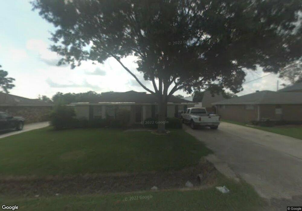
63 Saint Anthony St Luling, LA 70070
Estimated Value: $237,038 - $257,000
Studio
--
Bath
1,640
Sq Ft
$152/Sq Ft
Est. Value
About This Home
This home is located at 63 Saint Anthony St, Luling, LA 70070 and is currently estimated at $248,510, approximately $151 per square foot. 63 Saint Anthony St is a home located in St. Charles Parish with nearby schools including Mimosa Park Elementary School, Lakewood Elementary School, and J.B. Martin Middle School.
Ownership History
Date
Name
Owned For
Owner Type
Purchase Details
Closed on
Dec 29, 2025
Sold by
Desselle Kellahan Desiree
Bought by
Lem Investments Llc
Current Estimated Value
Purchase Details
Closed on
Jan 11, 2012
Sold by
Marjorie Kellahan Ii Thomas M and Marjorie Kellaham
Bought by
Desselle Kellahan Desiree
Purchase Details
Closed on
Nov 14, 2008
Sold by
Descant Mary Ann Armand and Descant Marvin J
Bought by
Desselle Kellahan Desiree and Kellahan Thomas M
Home Financials for this Owner
Home Financials are based on the most recent Mortgage that was taken out on this home.
Original Mortgage
$141,100
Interest Rate
4.84%
Mortgage Type
FHA
Purchase Details
Closed on
Oct 20, 2005
Sold by
Leffingwell Thomas F
Bought by
Descant Mary Ann Armand and Descant Marvin J
Create a Home Valuation Report for This Property
The Home Valuation Report is an in-depth analysis detailing your home's value as well as a comparison with similar homes in the area
Home Values in the Area
Average Home Value in this Area
Purchase History
| Date | Buyer | Sale Price | Title Company |
|---|---|---|---|
| Lem Investments Llc | $102,000 | Le Fleur De Lis Title | |
| Desselle Kellahan Desiree | $30,000 | None Available | |
| Desselle Kellahan Desiree | $161,700 | Crescent Title Llc | |
| Descant Mary Ann Armand | $170,000 | Title Source Llc |
Source: Public Records
Mortgage History
| Date | Status | Borrower | Loan Amount |
|---|---|---|---|
| Previous Owner | Desselle Kellahan Desiree | $141,100 |
Source: Public Records
Tax History
| Year | Tax Paid | Tax Assessment Tax Assessment Total Assessment is a certain percentage of the fair market value that is determined by local assessors to be the total taxable value of land and additions on the property. | Land | Improvement |
|---|---|---|---|---|
| 2025 | $2,557 | $21,660 | $6,330 | $15,330 |
| 2024 | $2,557 | $21,660 | $6,330 | $15,330 |
| 2023 | $1,453 | $17,132 | $4,640 | $12,492 |
| 2022 | $2,003 | $17,132 | $4,640 | $12,492 |
| 2021 | $1,686 | $14,295 | $4,176 | $10,119 |
| 2020 | $2,024 | $17,132 | $4,640 | $12,492 |
| 2019 | $1,700 | $14,338 | $3,500 | $10,838 |
| 2018 | $1,687 | $14,338 | $3,500 | $10,838 |
| 2017 | $1,685 | $14,338 | $3,500 | $10,838 |
| 2016 | $1,692 | $14,338 | $3,500 | $10,838 |
| 2015 | $639 | $12,936 | $1,961 | $10,975 |
| 2014 | $616 | $12,936 | $1,961 | $10,975 |
| 2013 | $618 | $12,936 | $1,961 | $10,975 |
Source: Public Records
Map
Nearby Homes
- 65 Saint Anthony St
- 62 Saint Anthony St
- 64 Saint Anthony St
- 59 Saint Anthony St
- 57 Saint Anthony St
- 66 Saint Anthony St
- 69 Saint Anthony St
- 68 Saint Anthony St
- 71 Saint Anthony St
- 104 Perryl Ln
- 103 Perryl Ln
- 12361 Highway 90
- 70 Saint Anthony St
- 102 Perryl Ln
- 12361 Us 90
- 101 Perryl Ln
- 204 Perryl Ln
- 73 Saint Anthony St
- 203 Perryl Ln
- 72 Saint Anthony St
Your Personal Tour Guide
Ask me questions while you tour the home.