63 Sandy Point Way Unit 1 Ellsworth, ME 04605
Estimated Value: $645,439 - $1,161,000
5
Beds
2
Baths
1,468
Sq Ft
$581/Sq Ft
Est. Value
About This Home
This home is located at 63 Sandy Point Way Unit 1, Ellsworth, ME 04605 and is currently estimated at $852,360, approximately $580 per square foot. 63 Sandy Point Way Unit 1 is a home located in Hancock County with nearby schools including Sumner Memorial High School.
Ownership History
Date
Name
Owned For
Owner Type
Purchase Details
Closed on
Dec 16, 2010
Sold by
Adams Charles R
Bought by
Pelletier Julie M
Current Estimated Value
Home Financials for this Owner
Home Financials are based on the most recent Mortgage that was taken out on this home.
Original Mortgage
$209,250
Outstanding Balance
$138,318
Interest Rate
4.23%
Mortgage Type
FHA
Estimated Equity
$714,042
Create a Home Valuation Report for This Property
The Home Valuation Report is an in-depth analysis detailing your home's value as well as a comparison with similar homes in the area
Home Values in the Area
Average Home Value in this Area
Purchase History
| Date | Buyer | Sale Price | Title Company |
|---|---|---|---|
| Pelletier Julie M | -- | -- |
Source: Public Records
Mortgage History
| Date | Status | Borrower | Loan Amount |
|---|---|---|---|
| Open | Pelletier Julie M | $209,250 | |
| Previous Owner | Pelletier Julie M | $336,000 |
Source: Public Records
Tax History Compared to Growth
Tax History
| Year | Tax Paid | Tax Assessment Tax Assessment Total Assessment is a certain percentage of the fair market value that is determined by local assessors to be the total taxable value of land and additions on the property. | Land | Improvement |
|---|---|---|---|---|
| 2024 | $7,735 | $443,250 | $178,500 | $264,750 |
| 2023 | $6,687 | $386,520 | $171,360 | $215,160 |
| 2022 | $6,068 | $386,520 | $171,360 | $215,160 |
| 2021 | $5,544 | $307,500 | $142,800 | $164,700 |
| 2020 | $5,744 | $306,000 | $142,800 | $163,200 |
| 2019 | $5,756 | $306,000 | $142,800 | $163,200 |
| 2018 | $5,581 | $306,000 | $142,800 | $163,200 |
| 2017 | $5,474 | $304,600 | $142,800 | $161,800 |
| 2016 | $5,299 | $299,700 | $137,900 | $161,800 |
| 2015 | $5,292 | $299,000 | $137,900 | $161,100 |
| 2014 | $4,919 | $299,000 | $137,900 | $161,100 |
| 2012 | $4,620 | $299,000 | $137,900 | $161,100 |
Source: Public Records
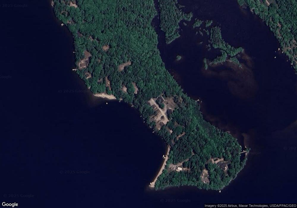
Map
Nearby Homes
- 235 Kotagiri Way
- 627 Green Lake Rd
- 20 Upper Boggy Brook Rd
- 394 Green Lake Rd
- Lot 6 Keefe Way
- 00 Green Lake Rd
- M6, L3 Beech Hill Pond Rd
- 1400 Bangor Rd
- 0 Branch Pond Rd
- 52 Shore Path
- 18 Tamarac Rd
- 1802 Bangor Rd
- Lot 5 Foggy Ridge Way
- Lot 9 Foggy Ridge Way
- Lot 24 Grand View Dr
- 161 Black Island Way
- 459 W West Shore Rd
- 461 W Shore Rd
- 0 Nevells Way
- 27 Salisbury Cove Rd
- 63 Sandy Point Way Unit 2
- 63 Sandy Point Way
- 63-75 Sandy Point Way
- 57 Sandy Point Way
- 69 Sandy Point Way
- 66 Sandy Point Way
- 75 Sandy Point Way
- 47 Sandy Point Way
- 0 Sandy Point Way
- 77 Sandy Point Way
- 43 Sandy Point Way
- 81 Sandy Point Way
- 11 Sailor Way
- LOT 38 Sandy Point Rd
- LOT 38 Sandy Point
- Lot 32 Sandy Point Rd
- 37 Sandy Point Way
- 33 Sandy Point Way
- 95 Sandy Point Way
- 29 Sandy Point Way