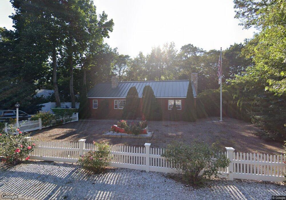
63 Security St Hyannis, MA 02601
Hyannis NeighborhoodEstimated Value: $610,000 - $866,000
About This Home
This home is located at 63 Security St, Hyannis, MA 02601 and is currently estimated at $706,063. 63 Security St is a home located in Barnstable County with nearby schools including Hyannis West Elementary School, Barnstable United Elementary School, and Barnstable Intermediate School.
Ownership History
We collect this data history from publicly available records. To have your information removed, we recommend requesting removal directly through your county’s website.
Purchase Details
Home Values in the Area
Average Home Value in this Area
Purchase History
We collect this data history from publicly available records. To have your information removed, we recommend requesting removal directly through your county’s website.
| Date | Buyer | Sale Price | Title Company |
|---|---|---|---|
| $14,000 | -- |
Mortgage History
We collect this data history from publicly available records. To have your information removed, we recommend requesting removal directly through your county’s website.
| Date | Status | Borrower | Loan Amount |
|---|---|---|---|
| Open | $297,000 | ||
| Closed | $100,200 |
Tax History
We collect this data history from publicly available records. To have your information removed, we recommend requesting removal directly through your county’s website.
| Year | Tax Paid | Tax Assessment Tax Assessment Total Assessment is a certain percentage of the fair market value that is determined by local assessors to be the total taxable value of land and additions on the property. | Land | Improvement |
|---|---|---|---|---|
| 2025 | $6,255 | $674,800 | $149,300 | $525,500 |
| 2024 | $6,033 | $666,600 | $149,300 | $517,300 |
| 2023 | $5,546 | $579,500 | $135,700 | $443,800 |
| 2022 | $5,550 | $479,700 | $100,500 | $379,200 |
| 2021 | $4,846 | $406,900 | $100,500 | $306,400 |
| 2020 | $4,853 | $393,600 | $100,500 | $293,100 |
| 2019 | $4,504 | $358,000 | $100,500 | $257,500 |
| 2018 | $3,871 | $314,700 | $105,800 | $208,900 |
| 2017 | $3,626 | $302,400 | $105,800 | $196,600 |
| 2016 | $3,555 | $303,100 | $106,500 | $196,600 |
| 2015 | $3,654 | $315,800 | $102,400 | $213,400 |
Map
- 54 Melbourne Rd
- 244 Craigville Beach Rd
- 64 Pitchers Way
- 307 W Main St Unit 1
- 18 Goat Field Ln
- 45 Marston Ave
- 135 W Main St Unit 32
- 209 Greenwood Ave
- 35 Grayton Ave
- 26 Adrena Ave
- 46 Washington Ave
- 24 Bettys Pond Rd Unit K
- 24 Betty's Pond Rd Unit 1K
- 26 Bettys Pond Rd Unit 9
- 558 Craigville Beach Rd Unit 7
- 18 Mount Vernon Ave
- 172 Irving Ave
- 61 Linda Ln
- 151 & 155 Irving Ave
- 31 Dale Ave
- 55 Security St
- 45 Security St
- 63 Security St Unit 1
- 39 Security St
- 100 Straightway
- 22 Old School House Rd
- 22 Old School House Rd Unit 1
- 92 Straightway
- 52 Security St
- 52 Security St Unit Winter
- 108 Straightway
- 60 Security St
- 12 Old School House Rd
- 44 Security St
- 41 Old Schoolhouse
- 52 Security
- 114 Straightway
- 31 Security St
- 86 Straightway
- 36 Security St
Ask me questions while you tour the home.