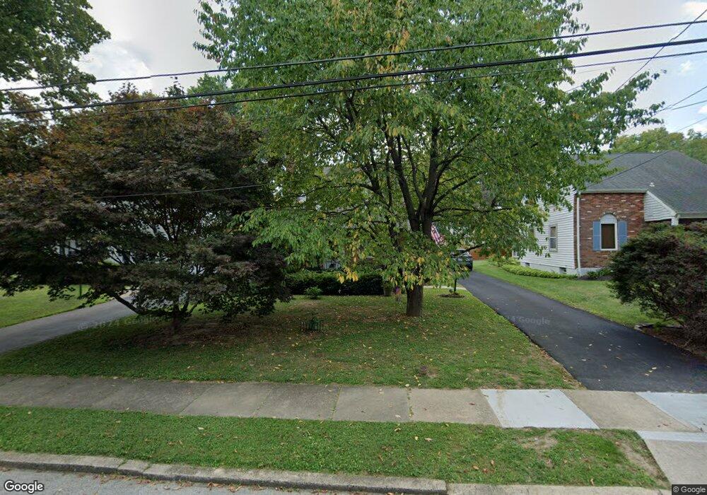
63 Shelburne Rd Springfield, PA 19064
Estimated Value: $443,146 - $564,000
3
Beds
2
Baths
1,316
Sq Ft
$365/Sq Ft
Est. Value
About This Home
This home is located at 63 Shelburne Rd, Springfield, PA 19064 and is currently estimated at $480,537, approximately $365 per square foot. 63 Shelburne Rd is a home located in Delaware County with nearby schools including Springfield High School, St Francis Of Assisi School, and Holy Cross School.
Ownership History
Date
Name
Owned For
Owner Type
Purchase Details
Closed on
Dec 28, 2016
Sold by
Pomerantz Adam and Pomerantz Carrie L
Bought by
Pomerantz Adam
Current Estimated Value
Purchase Details
Closed on
Nov 27, 2001
Sold by
Mcgarvey Noel and Mcgarvey Nicole
Bought by
Pomerantz Adam and Pomerantz Carrie L
Home Financials for this Owner
Home Financials are based on the most recent Mortgage that was taken out on this home.
Original Mortgage
$189,900
Outstanding Balance
$74,700
Interest Rate
6.66%
Estimated Equity
$405,837
Purchase Details
Closed on
Nov 21, 1997
Sold by
Harper John A and Harper Mary T
Bought by
Mcgarvey Noel and Galligan Nicole A
Home Financials for this Owner
Home Financials are based on the most recent Mortgage that was taken out on this home.
Original Mortgage
$140,450
Interest Rate
7.14%
Mortgage Type
FHA
Create a Home Valuation Report for This Property
The Home Valuation Report is an in-depth analysis detailing your home's value as well as a comparison with similar homes in the area
Home Values in the Area
Average Home Value in this Area
Purchase History
| Date | Buyer | Sale Price | Title Company |
|---|---|---|---|
| Pomerantz Adam | -- | None Available | |
| Pomerantz Adam | $199,900 | -- | |
| Mcgarvey Noel | $140,900 | -- |
Source: Public Records
Mortgage History
| Date | Status | Borrower | Loan Amount |
|---|---|---|---|
| Open | Pomerantz Adam | $189,900 | |
| Previous Owner | Mcgarvey Noel | $140,450 |
Source: Public Records
Tax History Compared to Growth
Tax History
| Year | Tax Paid | Tax Assessment Tax Assessment Total Assessment is a certain percentage of the fair market value that is determined by local assessors to be the total taxable value of land and additions on the property. | Land | Improvement |
|---|---|---|---|---|
| 2025 | $6,790 | $241,580 | $93,840 | $147,740 |
| 2024 | $6,790 | $241,580 | $93,840 | $147,740 |
| 2023 | $6,538 | $241,580 | $93,840 | $147,740 |
| 2022 | $6,397 | $241,580 | $93,840 | $147,740 |
| 2021 | $9,906 | $241,580 | $93,840 | $147,740 |
| 2020 | $5,736 | $126,580 | $45,110 | $81,470 |
| 2019 | $5,601 | $126,580 | $45,110 | $81,470 |
| 2018 | $5,521 | $126,580 | $0 | $0 |
| 2017 | $5,393 | $126,580 | $0 | $0 |
| 2016 | $695 | $126,580 | $0 | $0 |
| 2015 | $695 | $126,580 | $0 | $0 |
| 2014 | $695 | $126,580 | $0 | $0 |
Source: Public Records
Map
Nearby Homes
- 232 S Highland Rd
- 201 S Highland Rd
- 247 Orchard Rd
- 517 W Woodland Ave
- 89 Saxer Ave
- 341 Kennerly Rd
- 364 S Rolling Rd
- 251 Powell Rd
- 326 Powell Rd
- 165 Summit Rd
- 214 Lynbrooke Rd
- 225 Lynbrooke Rd
- 200 N State Rd
- 506 Flora Cir
- 30 Wayne Ave
- 140 N Rolling Rd
- 230 Ridgewood Rd
- 15 Pearson Dr
- 332 Franklin Ave
- 530 Hempstead Rd